In our last post, we had arrived in Haida Gwaii and spent some time visiting Daajing Giids (Queen Charlotte City) and Massett. Now we are back in Daajing Giids getting ready to head out to the west coast of Moresby Island.
First, a couple of maps:
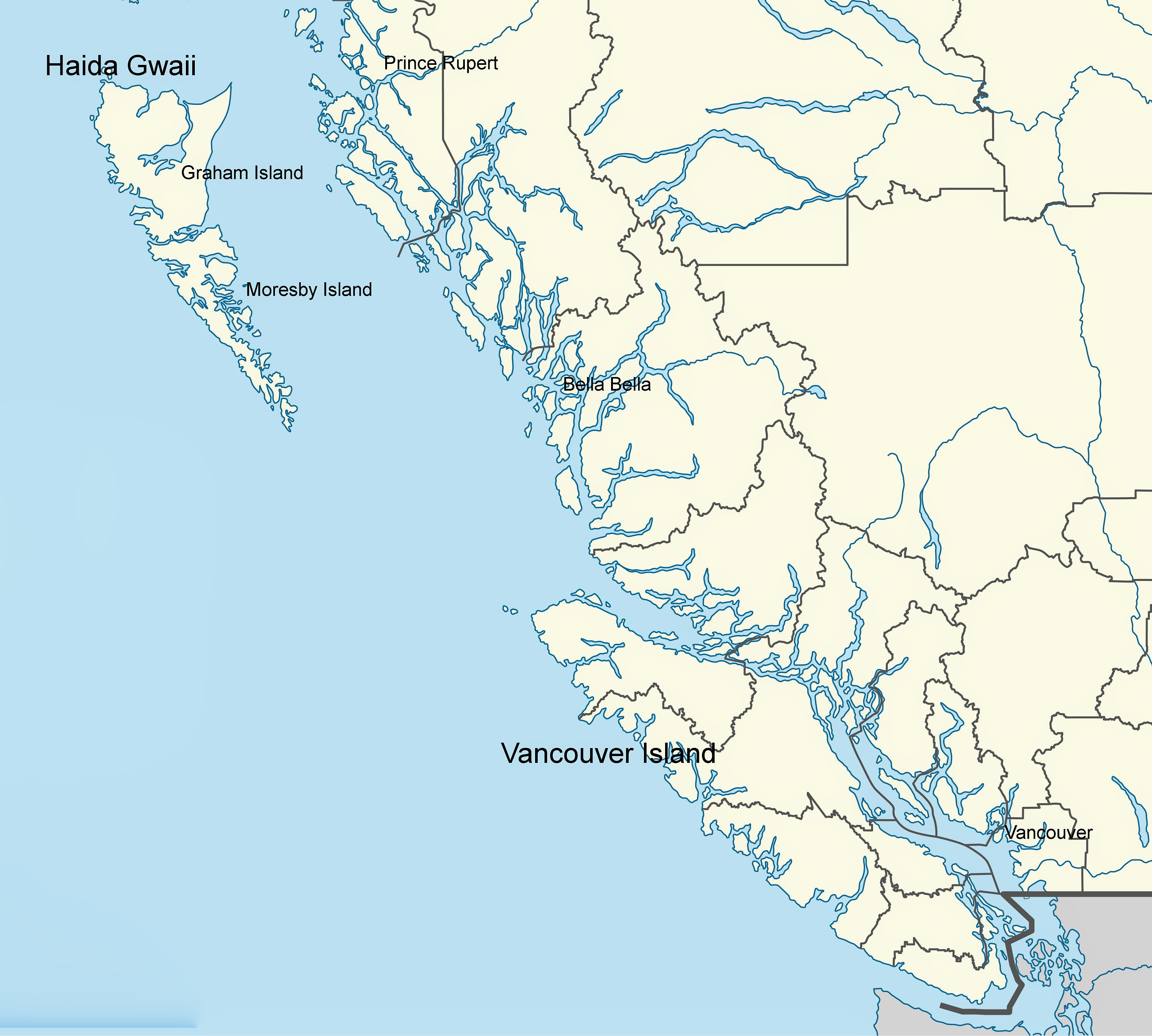

.
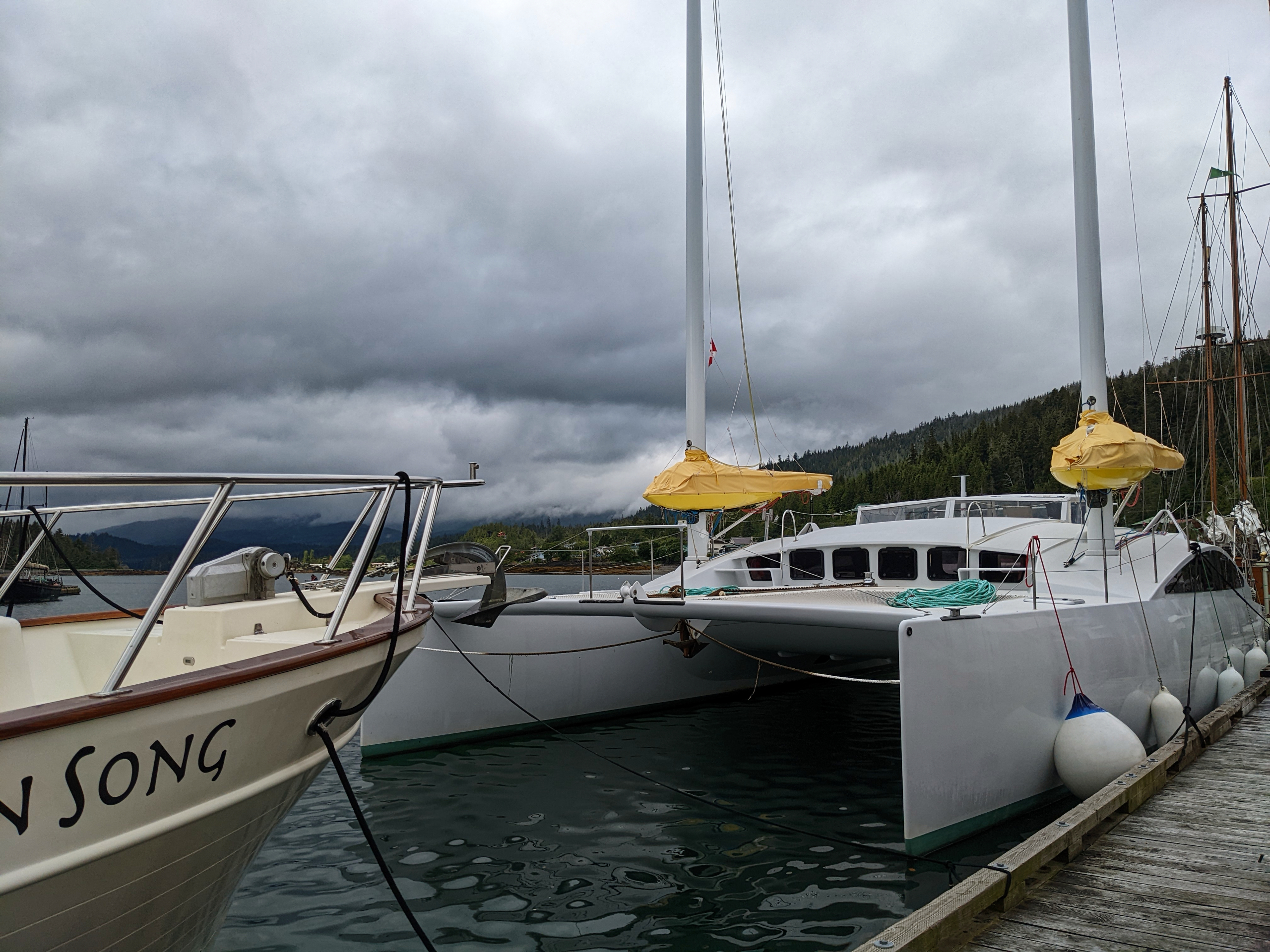
This catamaran showed up on our last day at the dock. They sailed here from France, and had just come up the west coast of Moresby Island. The boat has an interesting rig – one mast in each hull, with wingsails. The skipper said it was a great arrangement. He also said that the west coast of Moresby was a truly wild place.
.
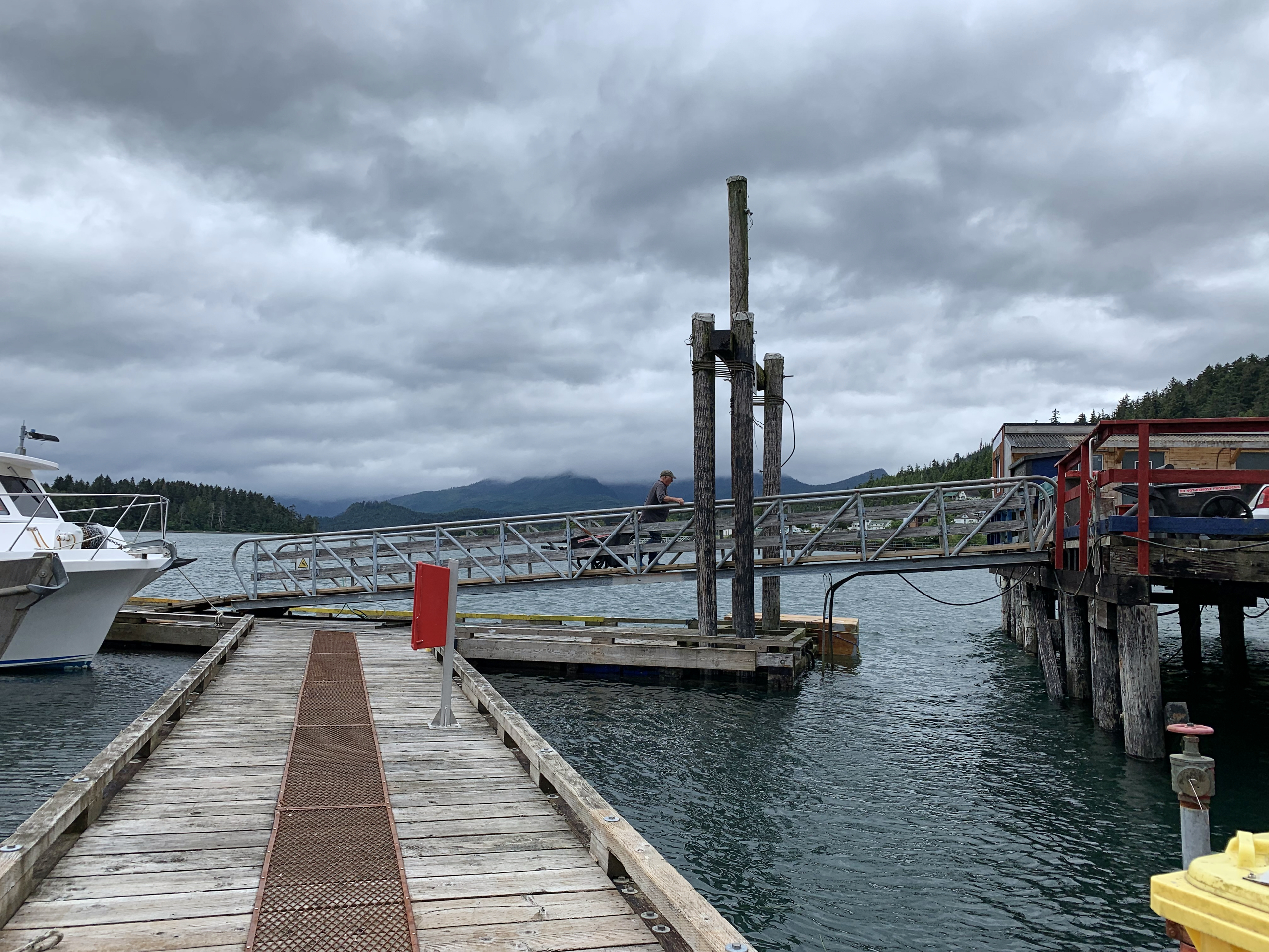

The tides can be big in this part of the coast. When the tide is out it is a steep climb up the ramp!
.

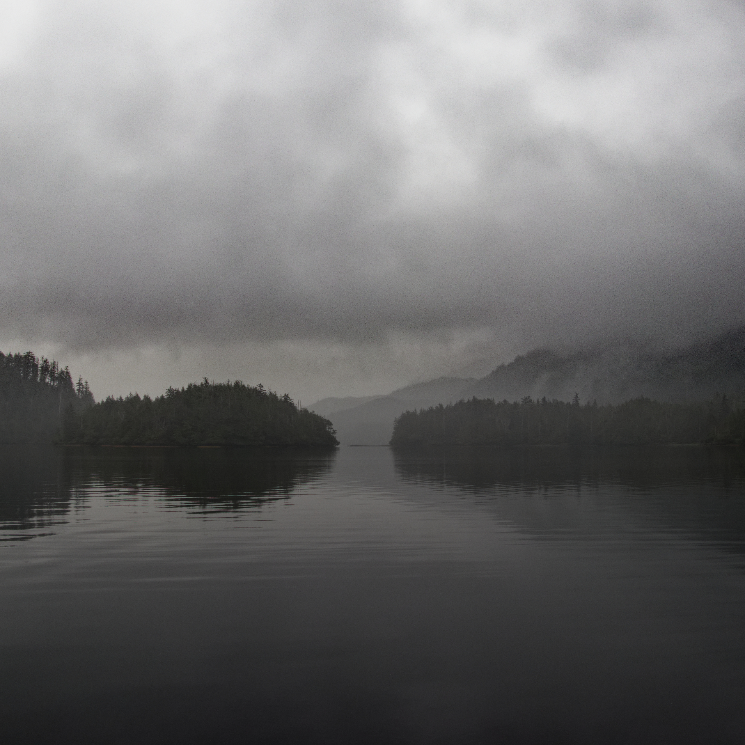
The weather has been typical for a Haida Gwaii summer – cloudy with occasional showers and some sunny breaks. Here is the scene at the dock the morning of our departure in mid July.
.

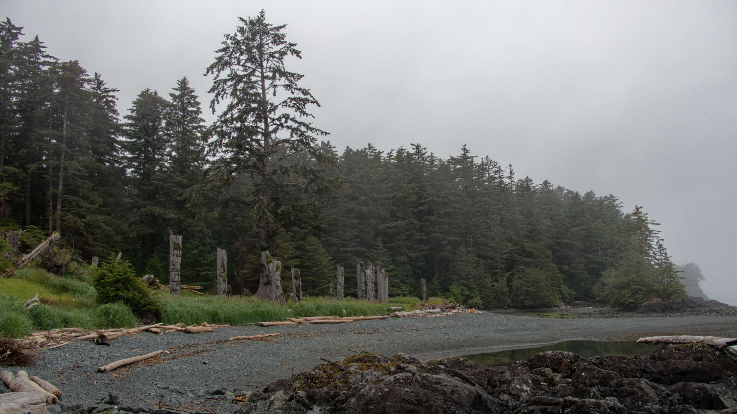
Leaving Daajing Giids, we headed west and went through Skidegate Narrows, the only thing separating Graham and Moresby Islands. We anchored in Armentieres Channel, and the next day took a dinghy trip to see the Mosquito totem pole in the forest on Chaatl Island.
.

Anchored in peaceful Armentieres Channel.
.
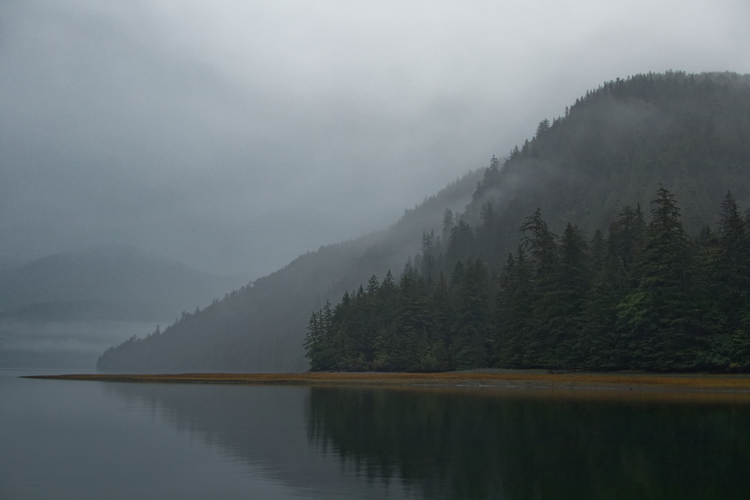
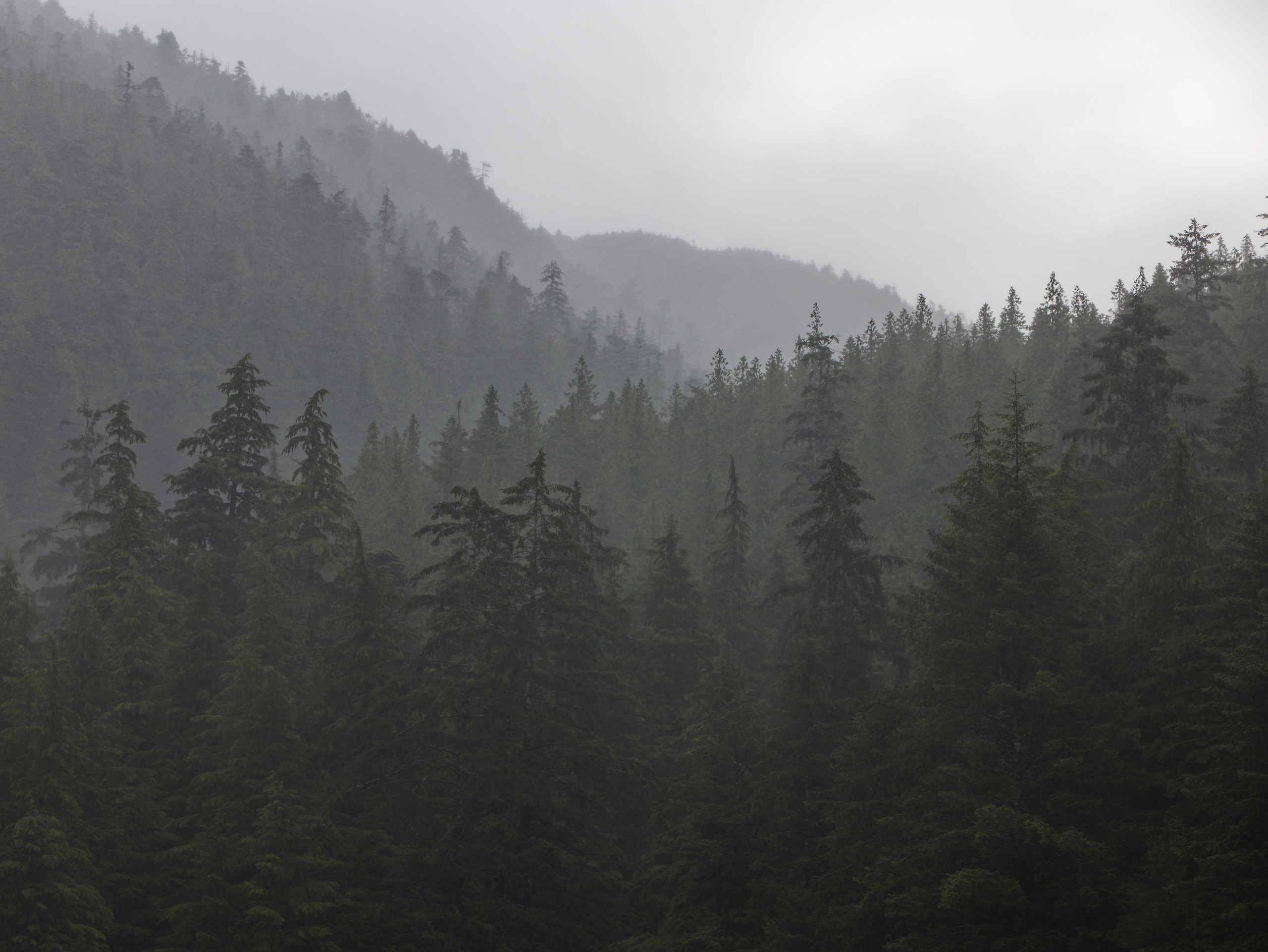
The coast can be beautiful even in the rain.
.
.
Taking the dinghy out in the rain in search of totem poles.
.
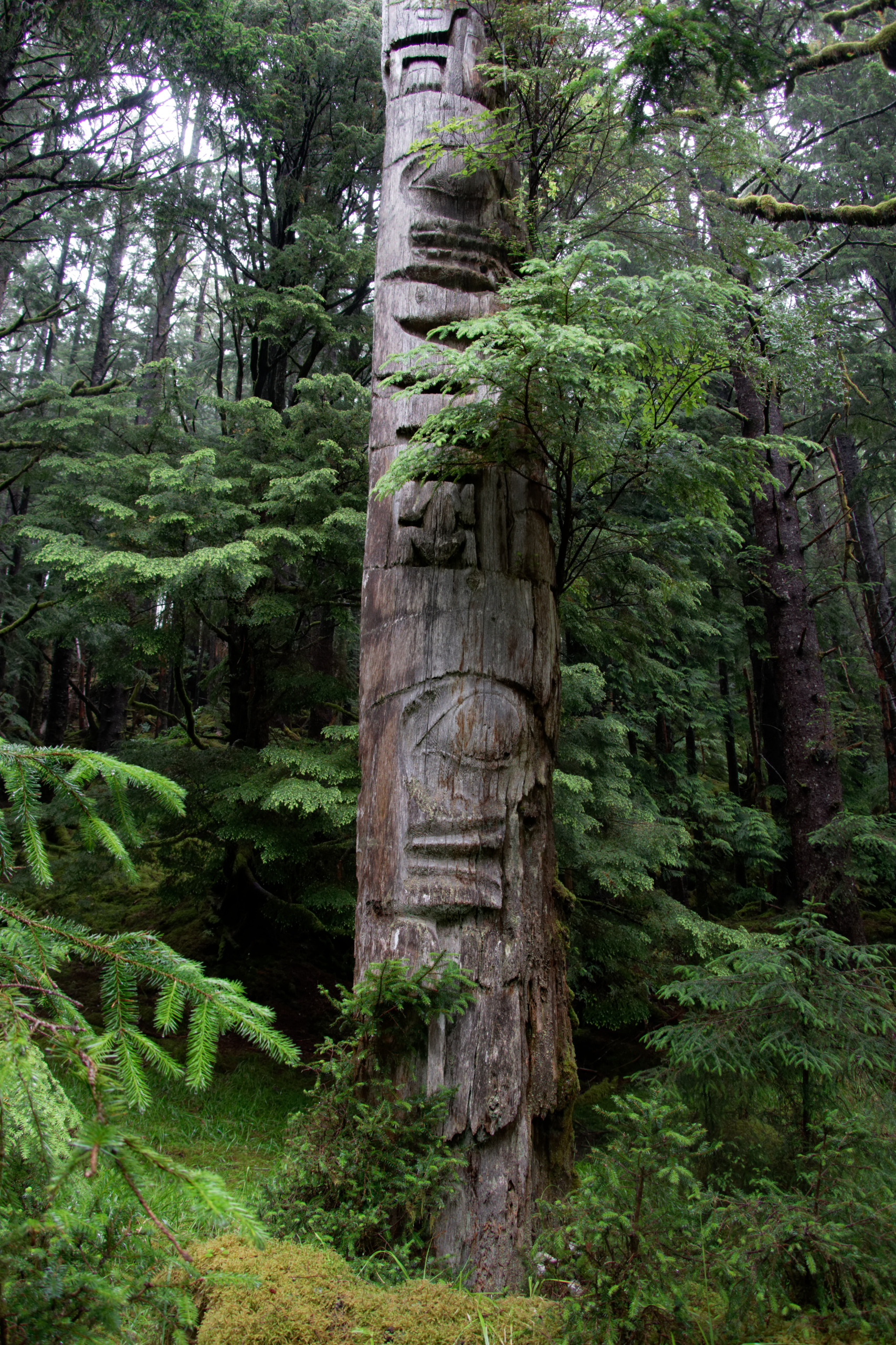
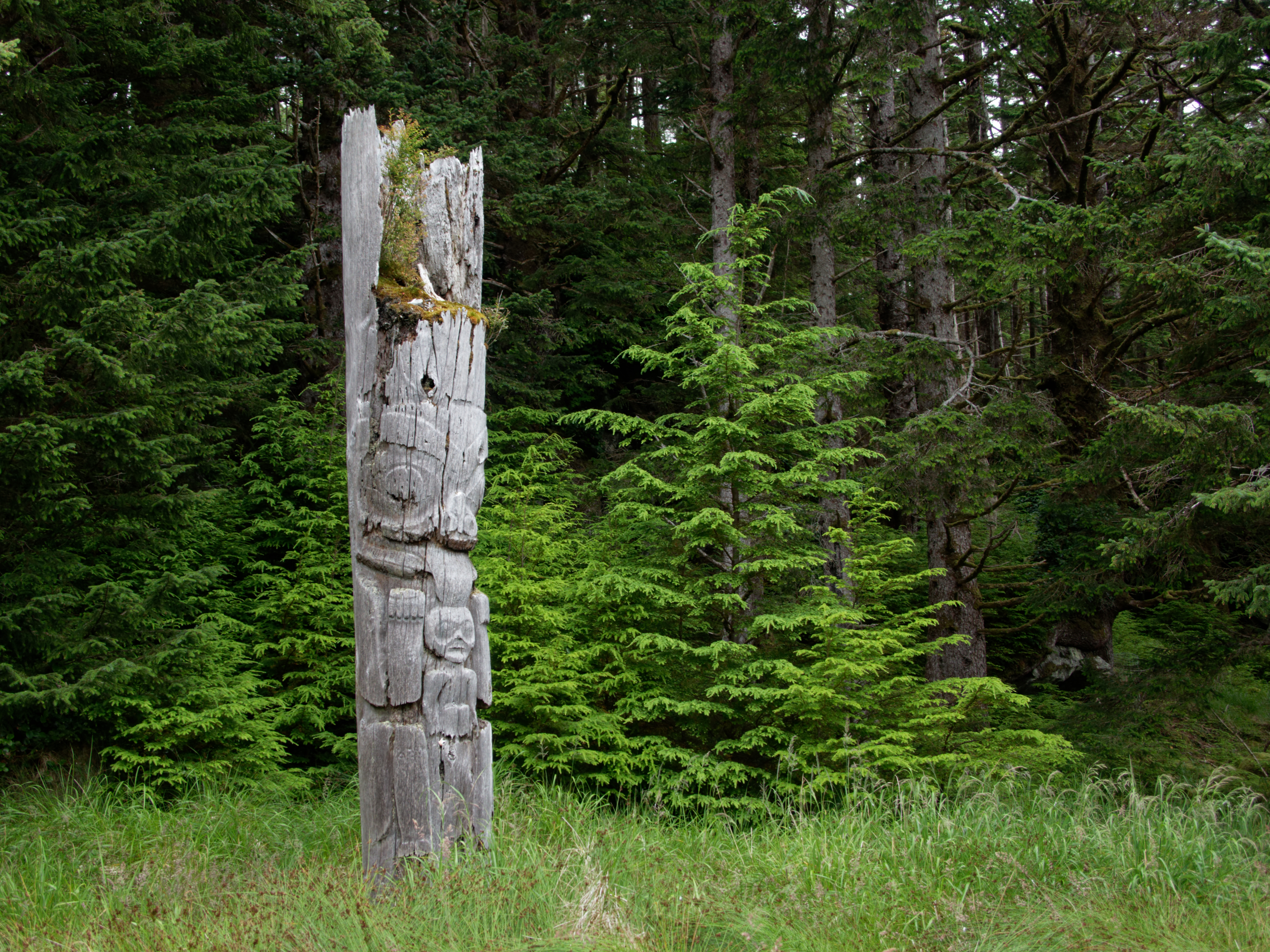
After searching for the right beach, and finding the right trail, we were rewarded by the sight of this totem pole standing in the forest.
.

.

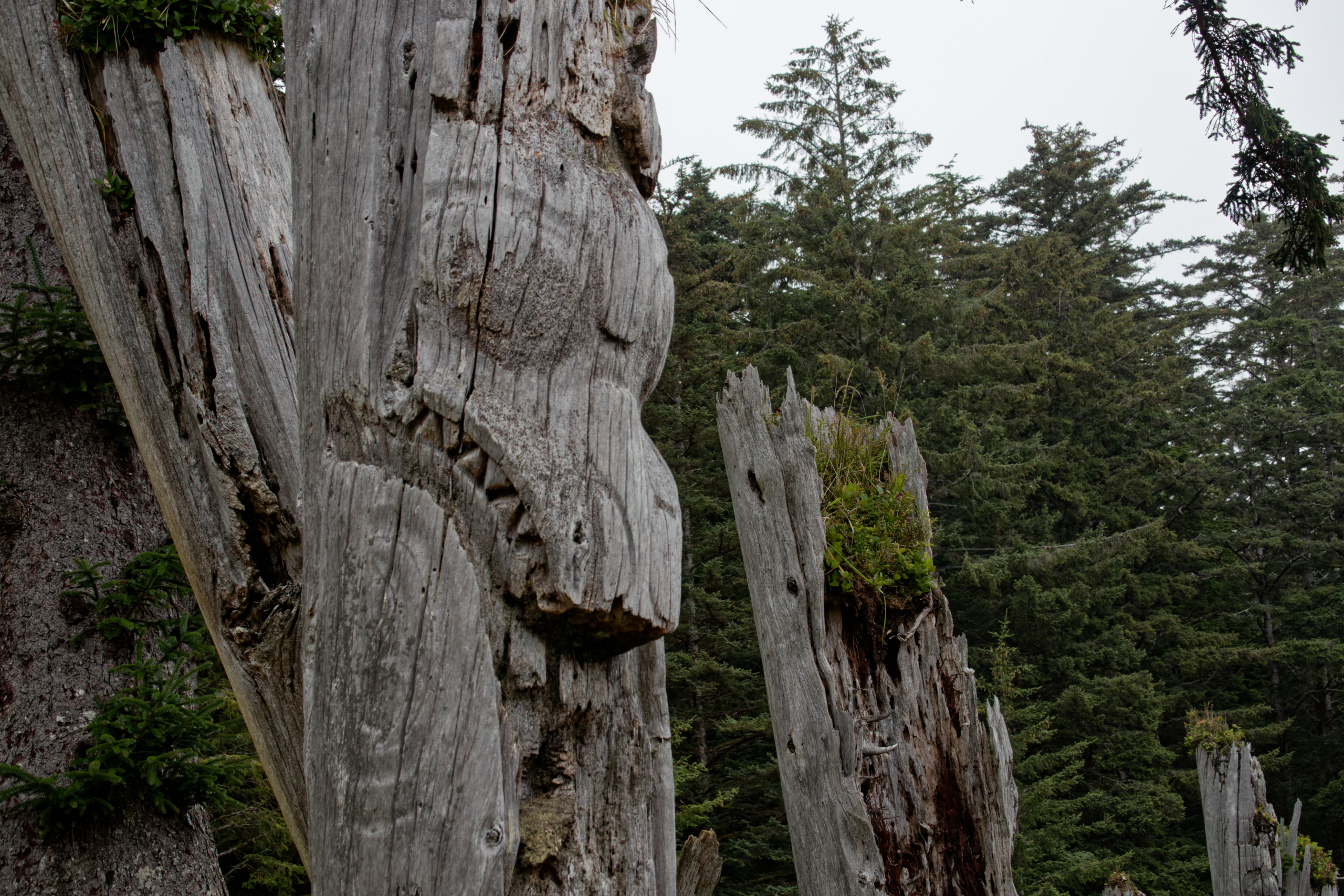
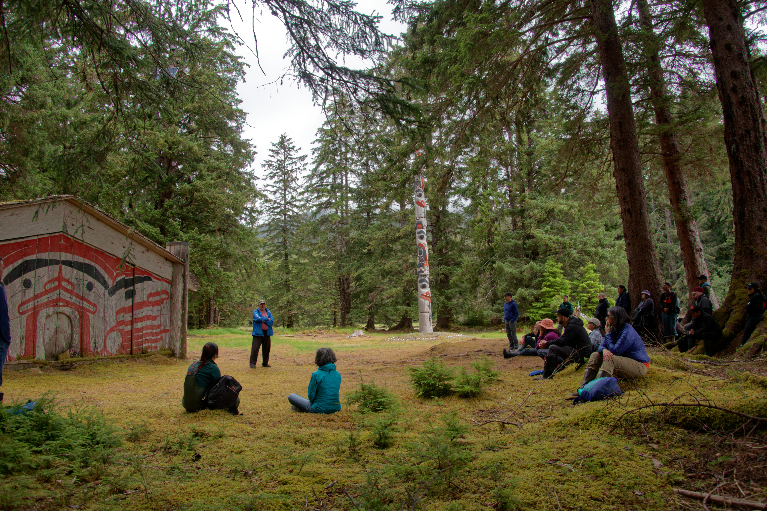
Another trail took us to the Mosquito Pole. These two poles are all that’s left of a former Haida village at this site.
.
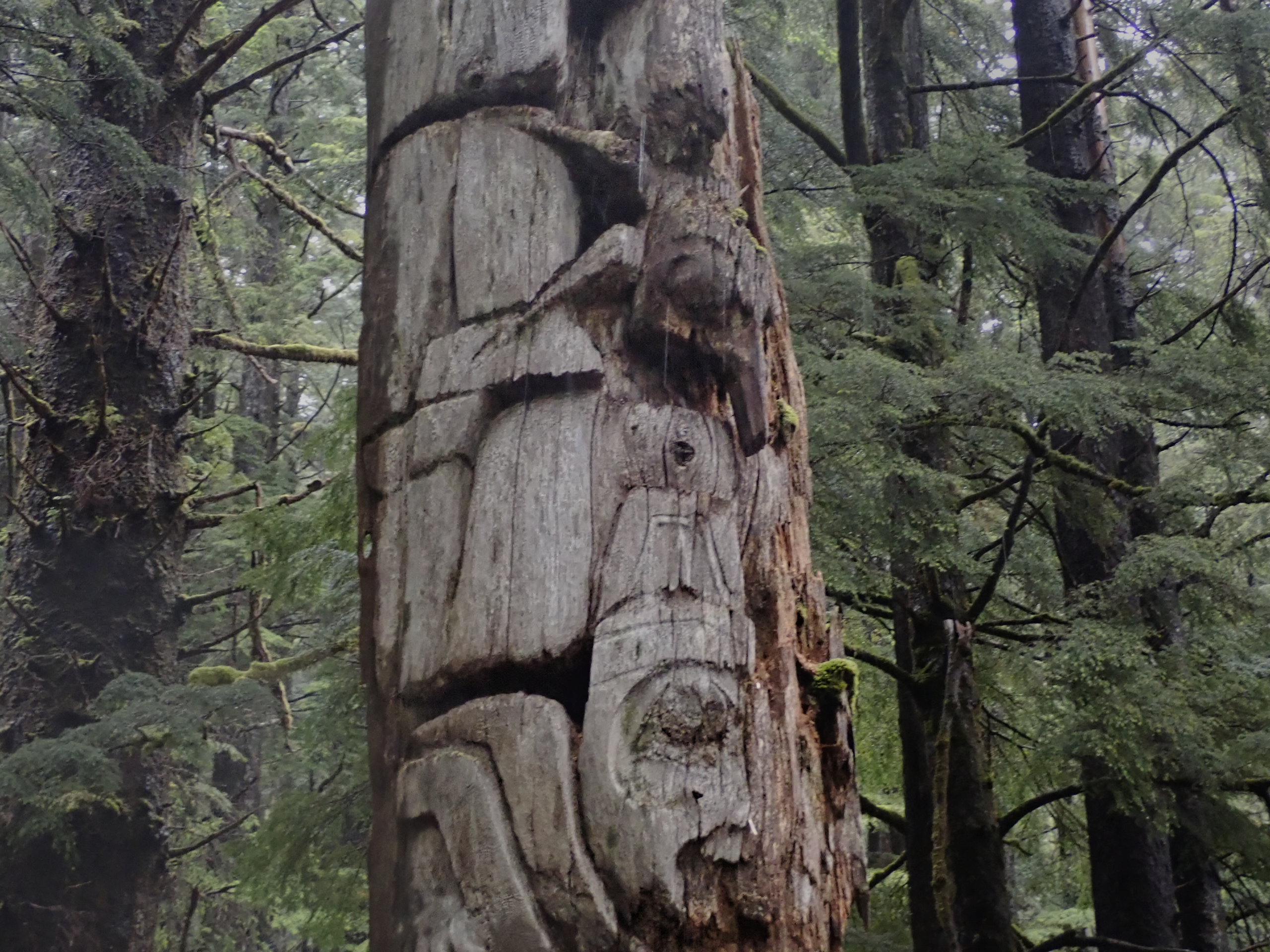
The unusual mosquito motif among the more traditional figures on the pole.
.
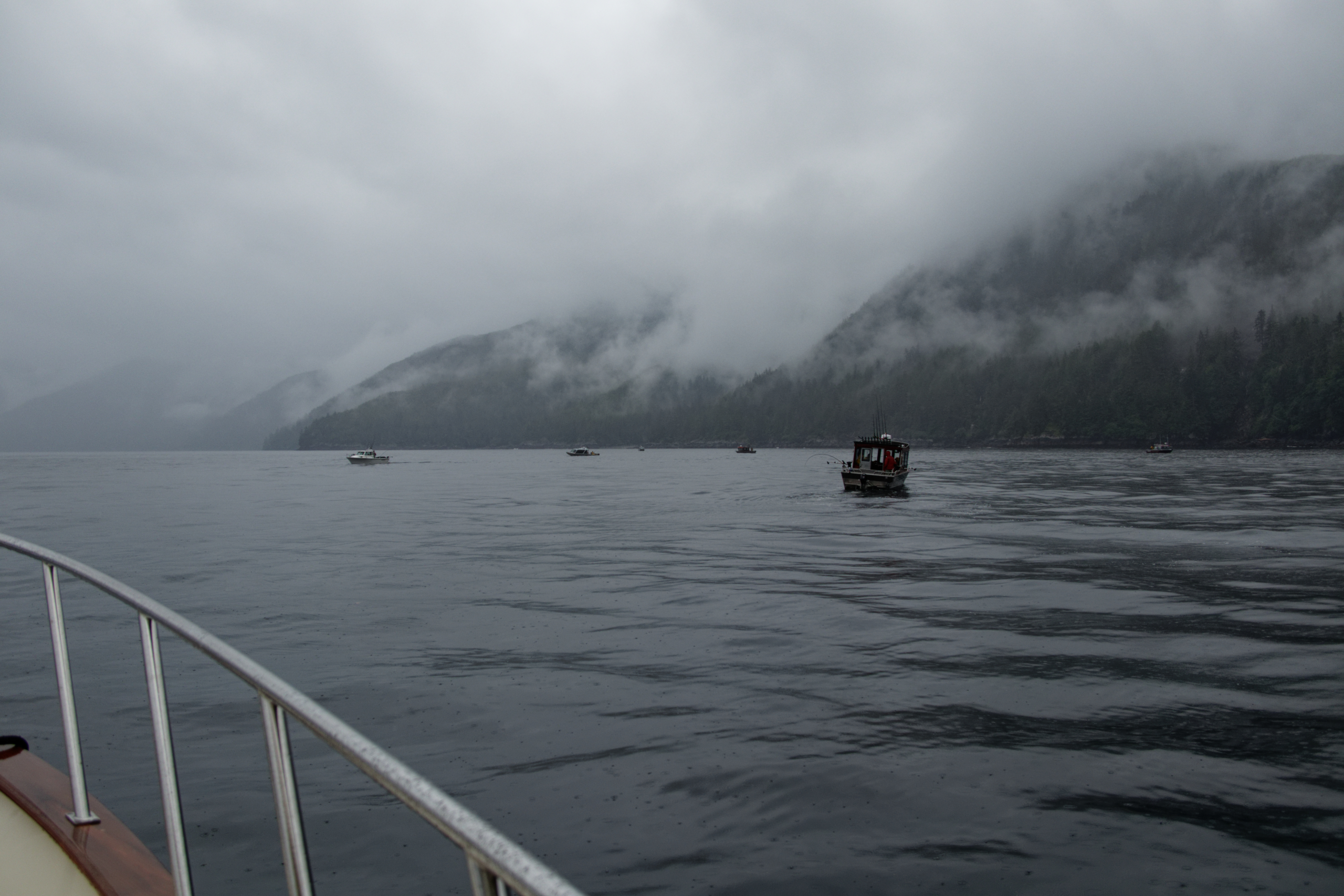
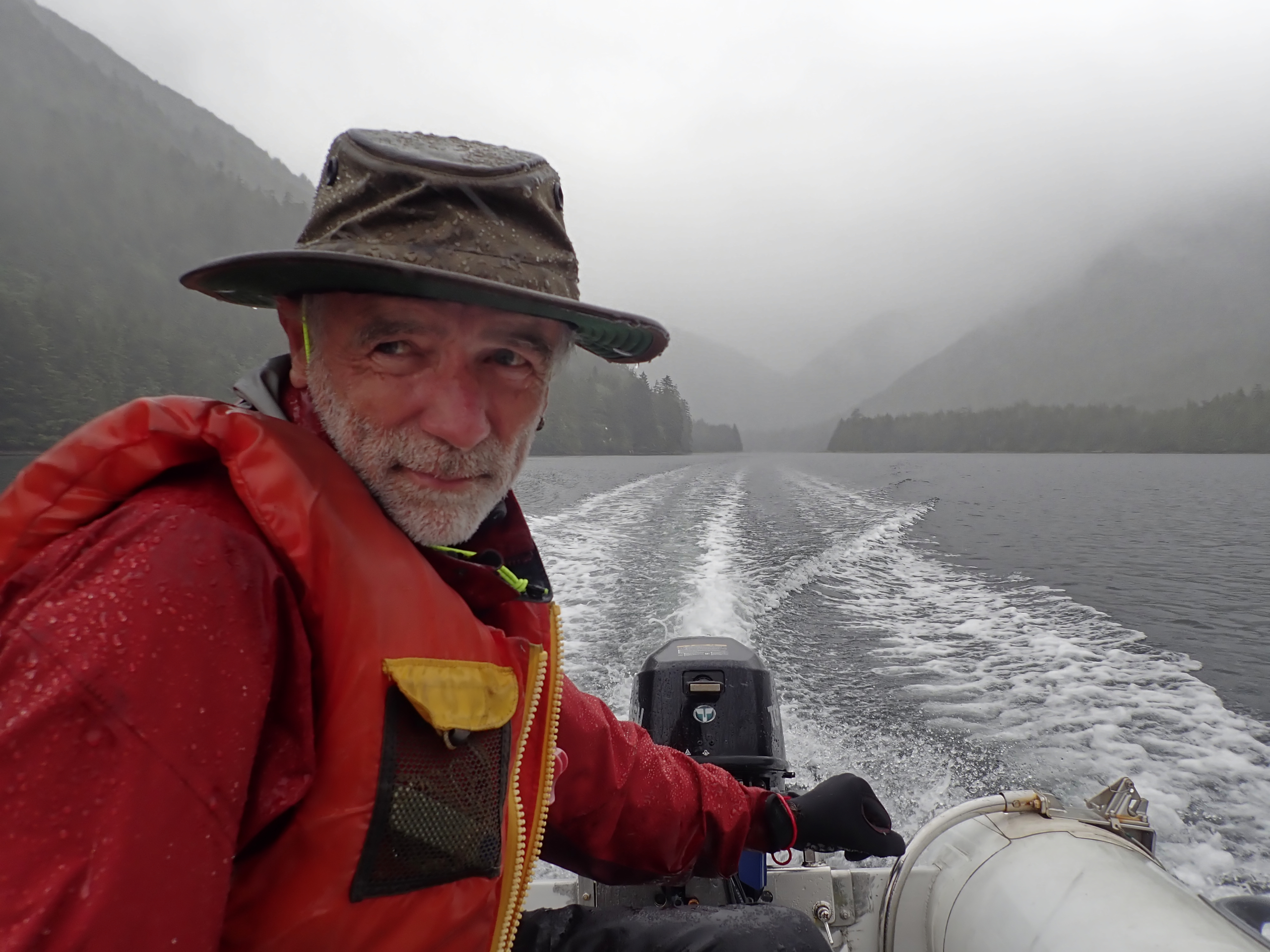
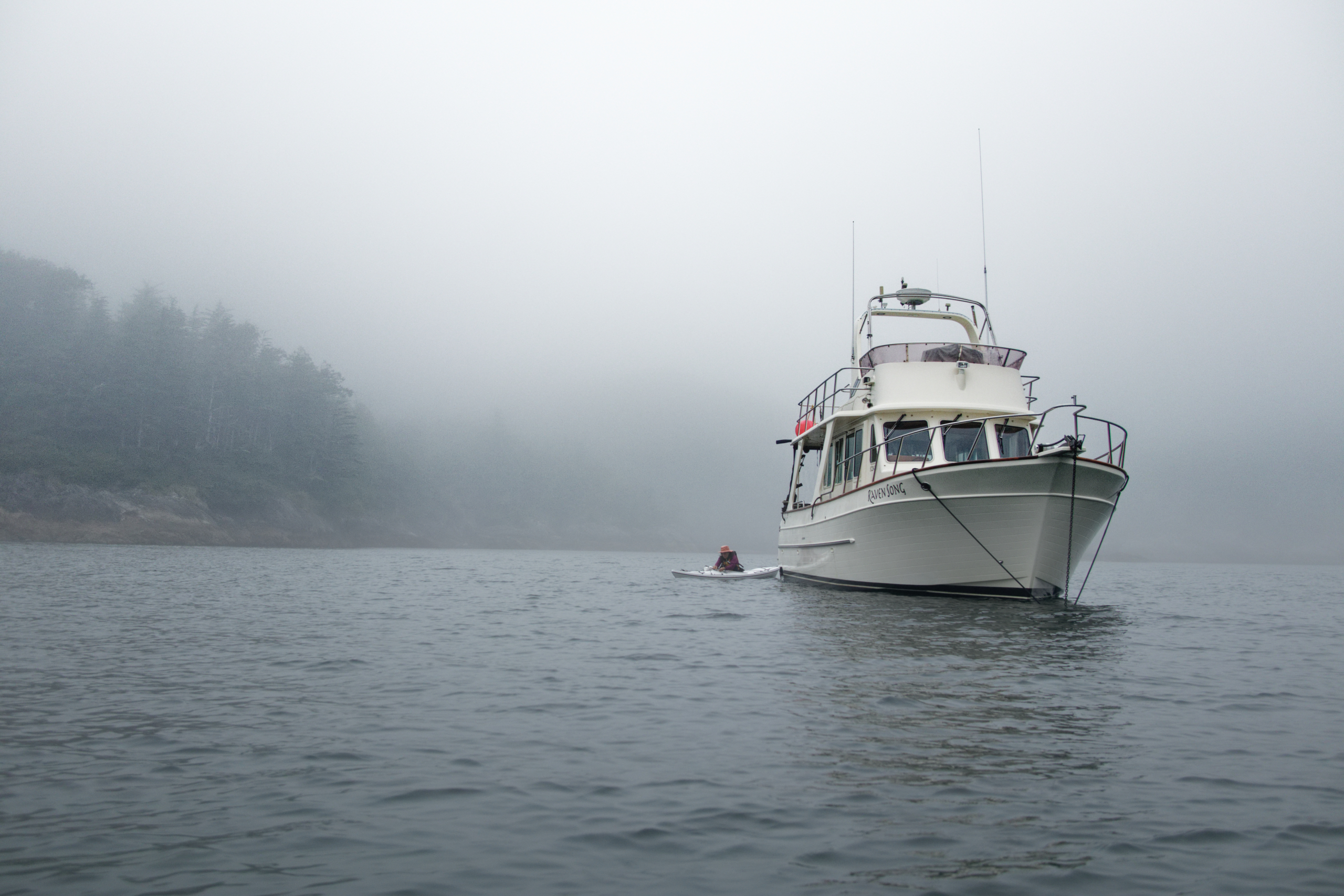
The next morning we set out for the outer coast. We mingled with the sport-fishing crowd for a while but while they caught fish, we weren’t so lucky.
.
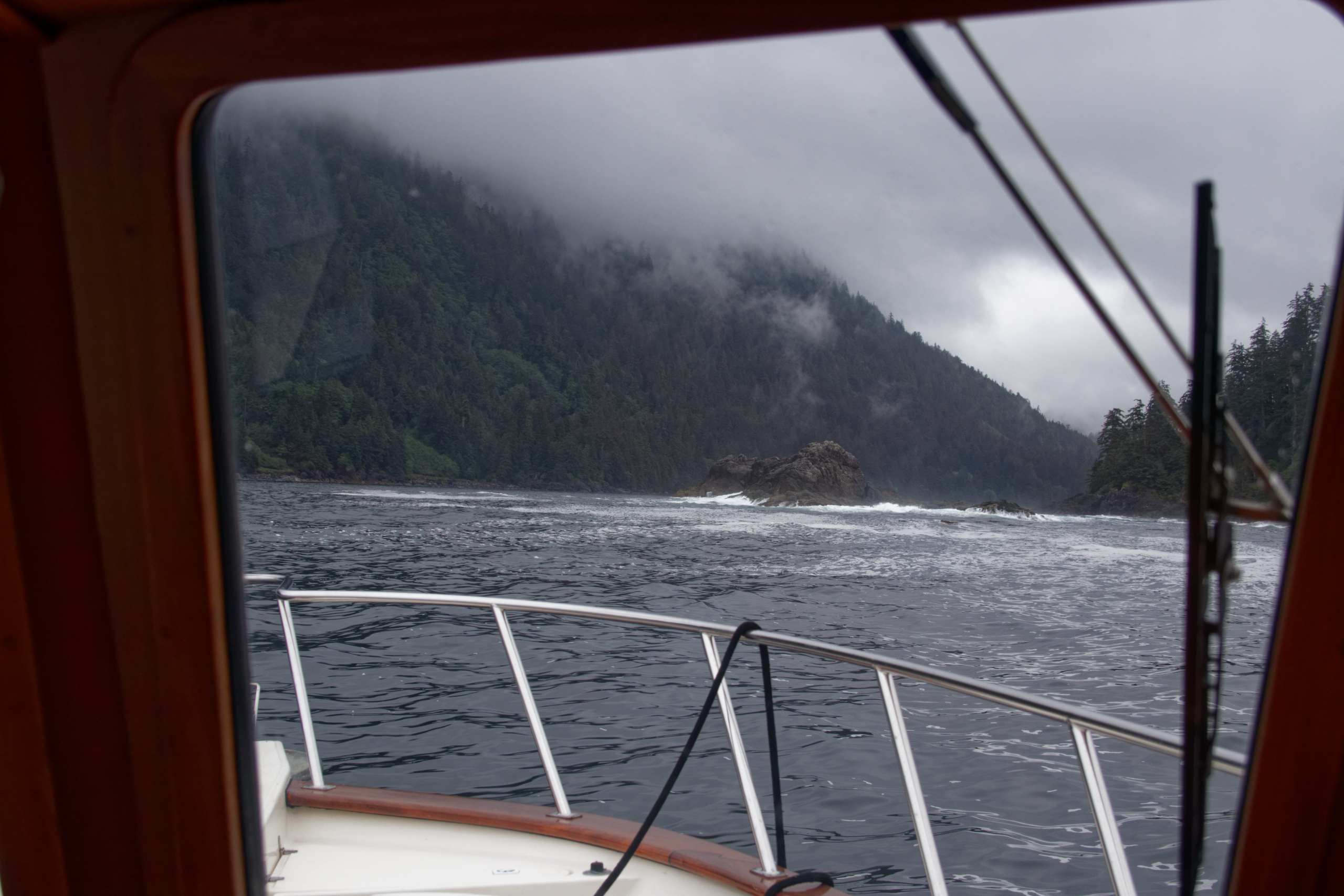
Leaving the sport-fisher crowd behind, we cruised down the coast in 2 meter ocean swells.
.
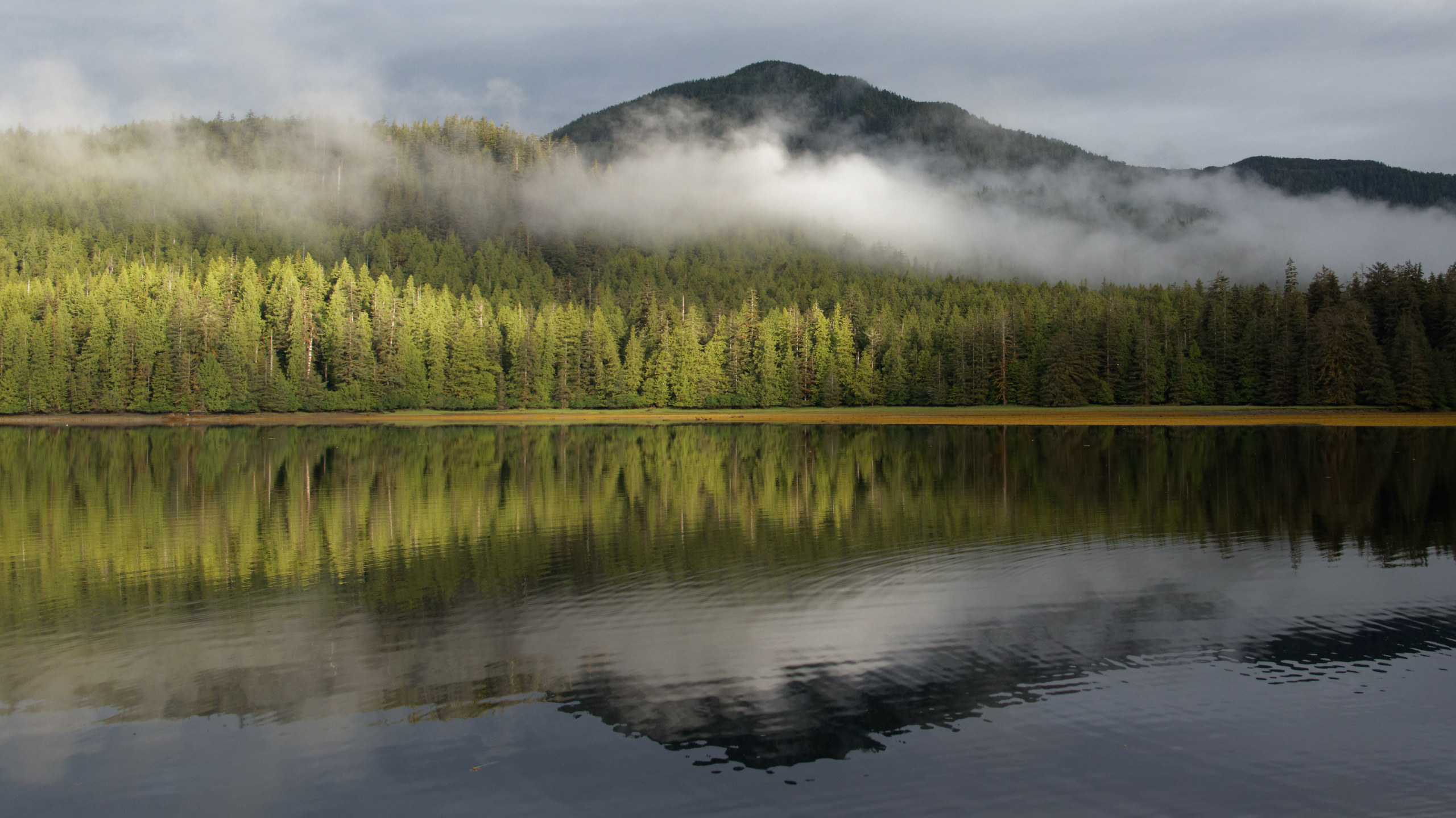
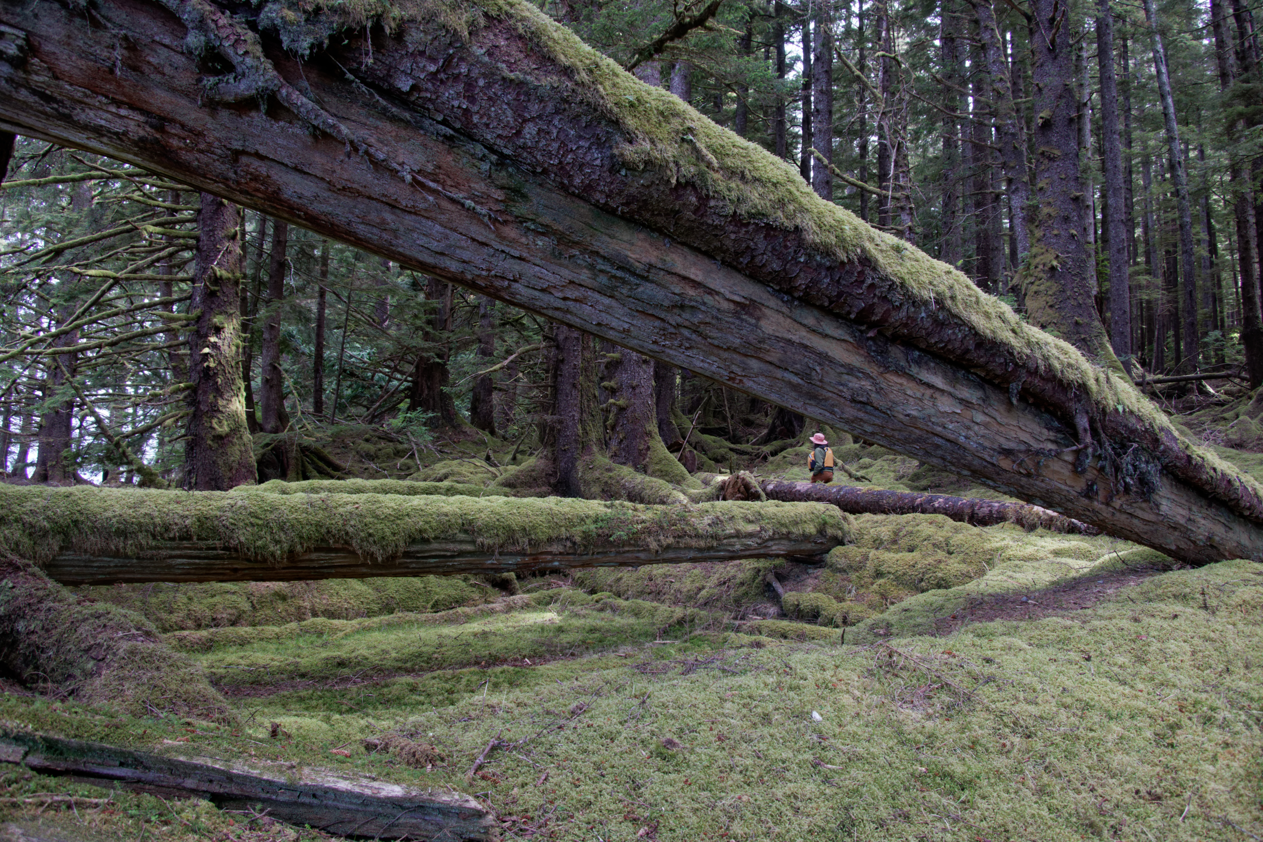
Our first anchorage on the outer coast was in Security Cove. A safe place to anchor plus there were a couple of estuaries. We went ashore at one to admire the trees.
.
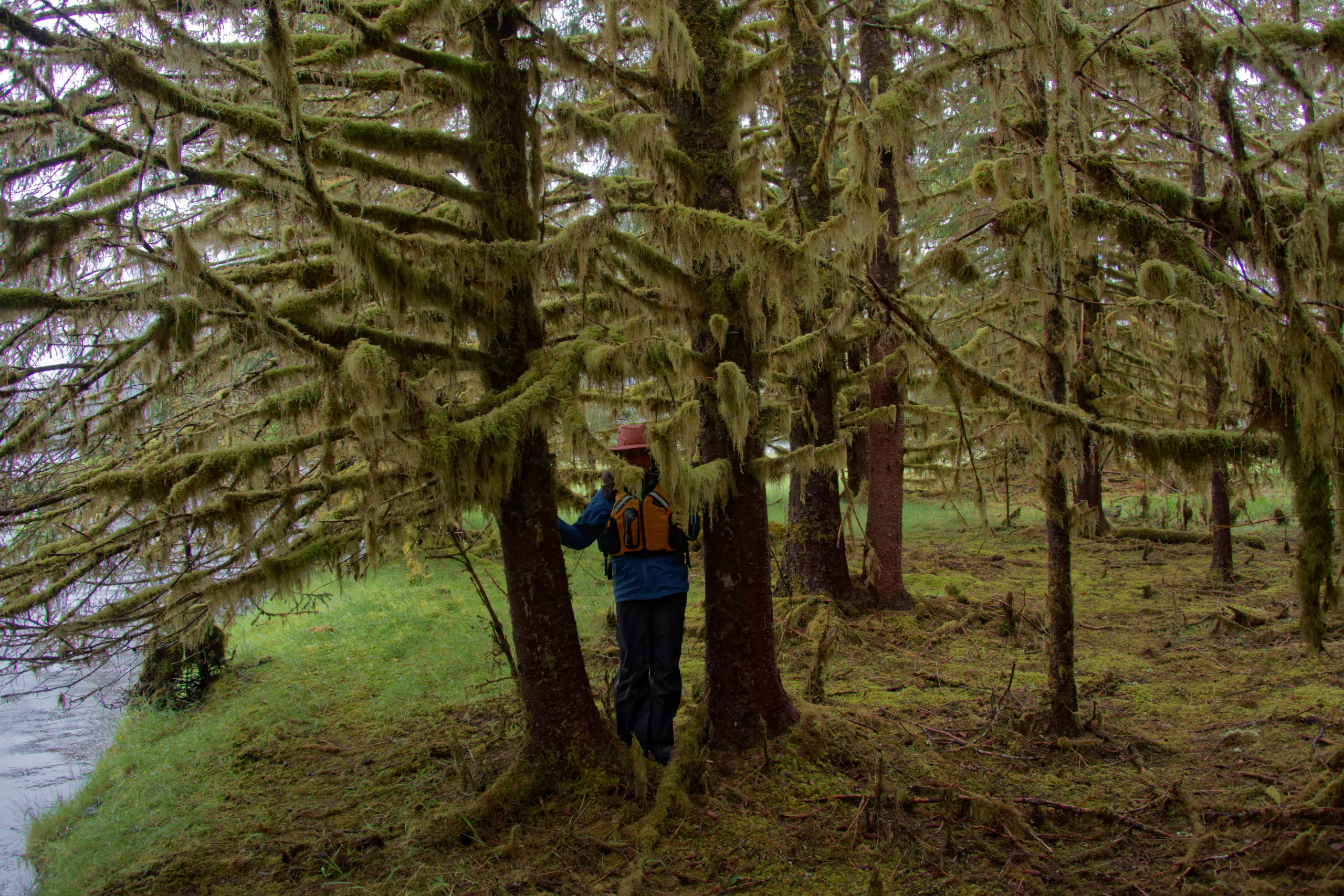
We entered a moss covered world.
.
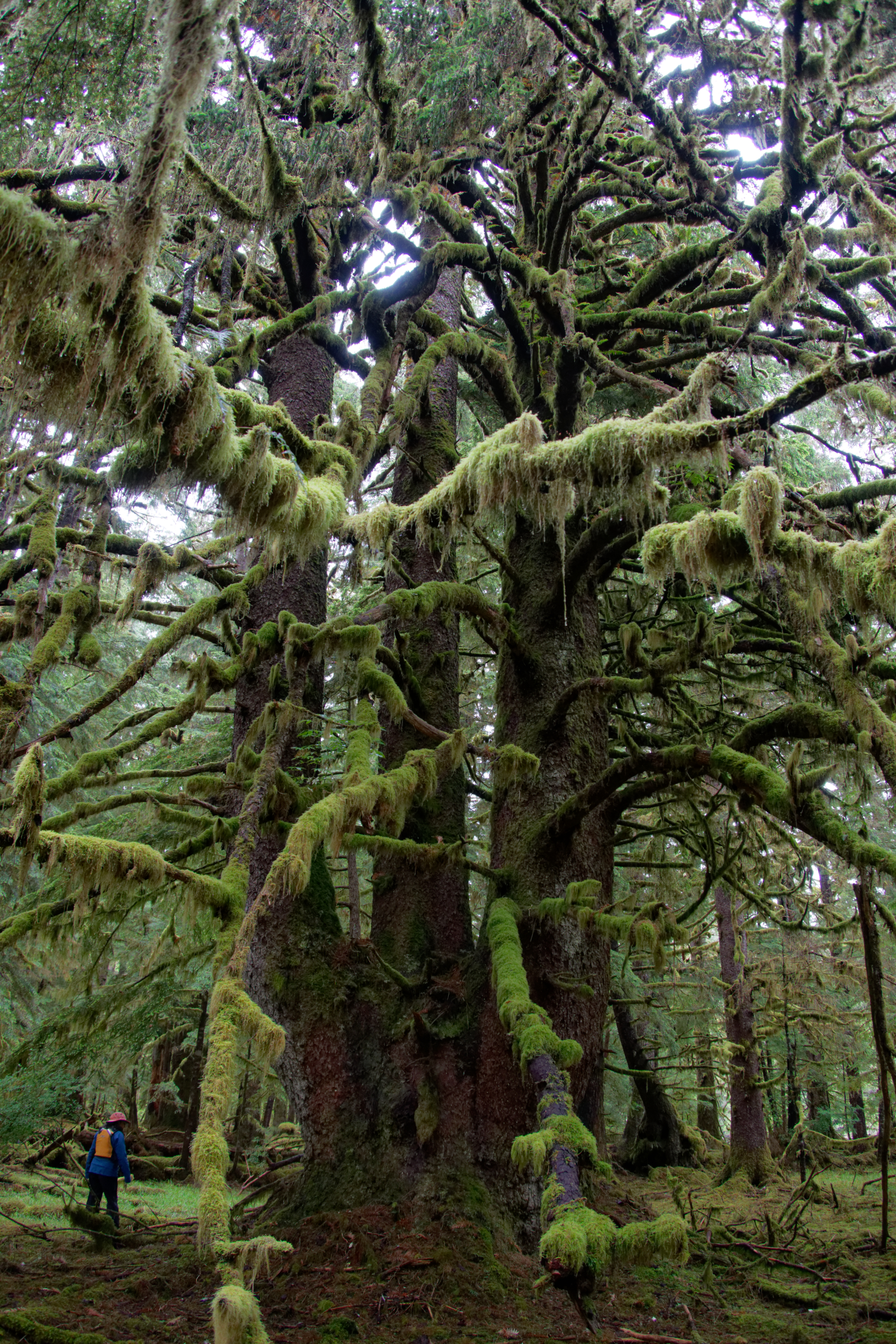
In this mossy jungle there were some huge old growth spruce trees.
.

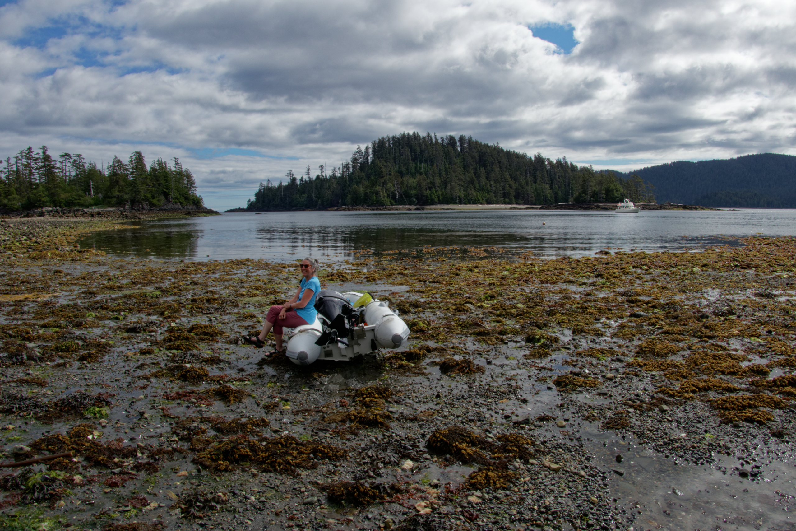
The next day we stopped to paddle among some islands. The tide was low, and we were rewarded with a spectacle of intertidal life.
.
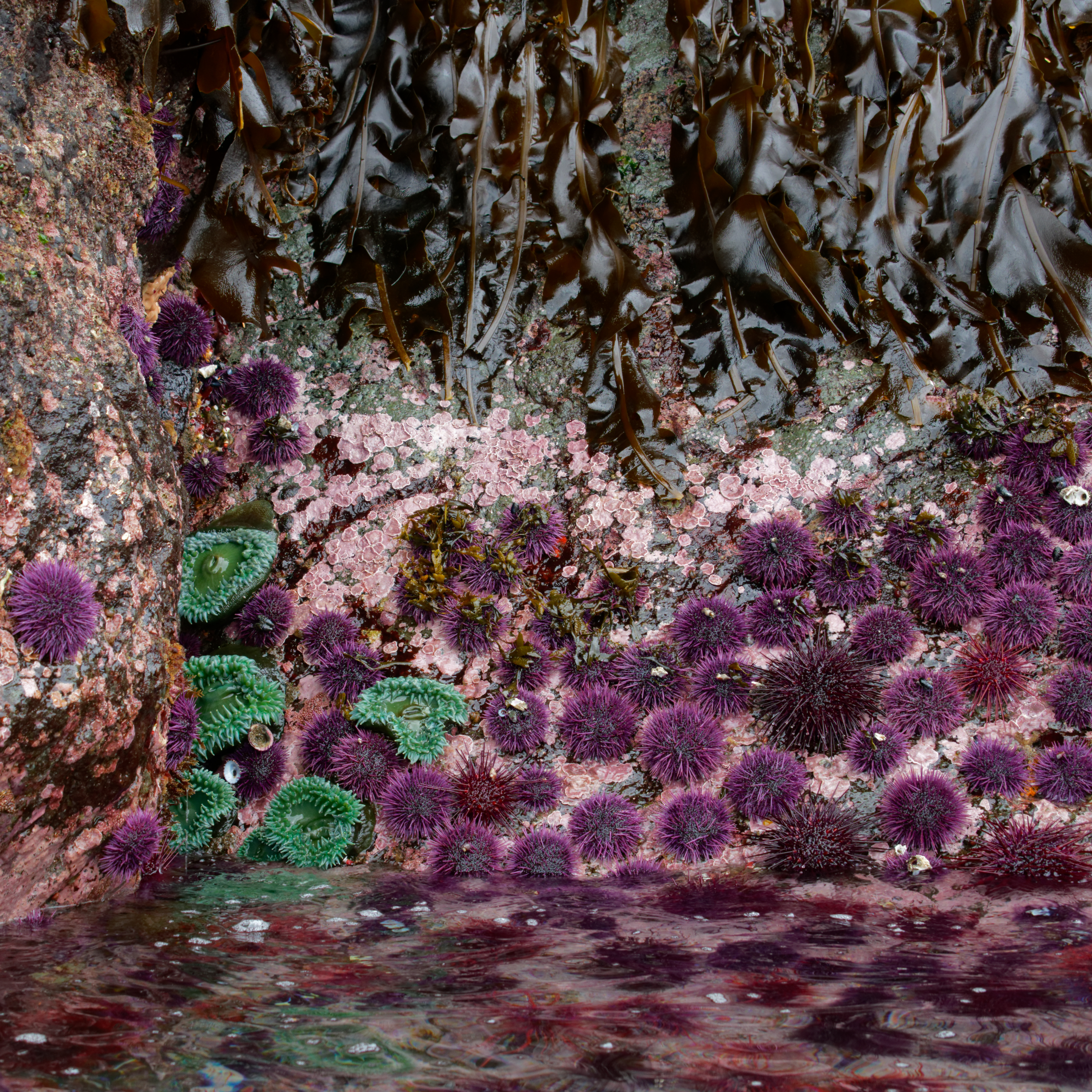
Layers of brown seaweed, pink lichen, purple urchins and green anemones.
.
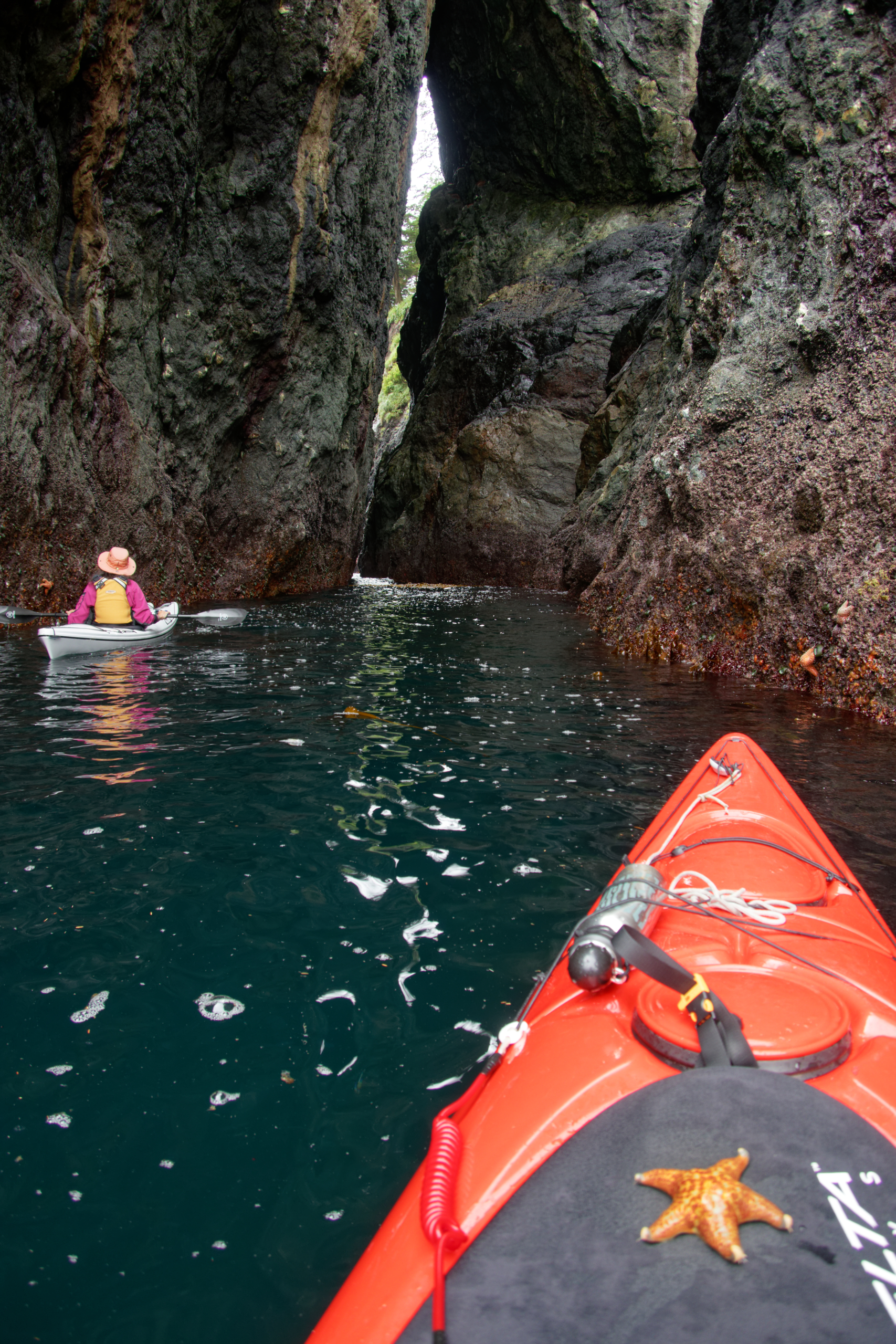
One of the islands we paddled around had an arch that went right through the island. We explored the arch but the gap was just a bit too narrow to paddle through.
.
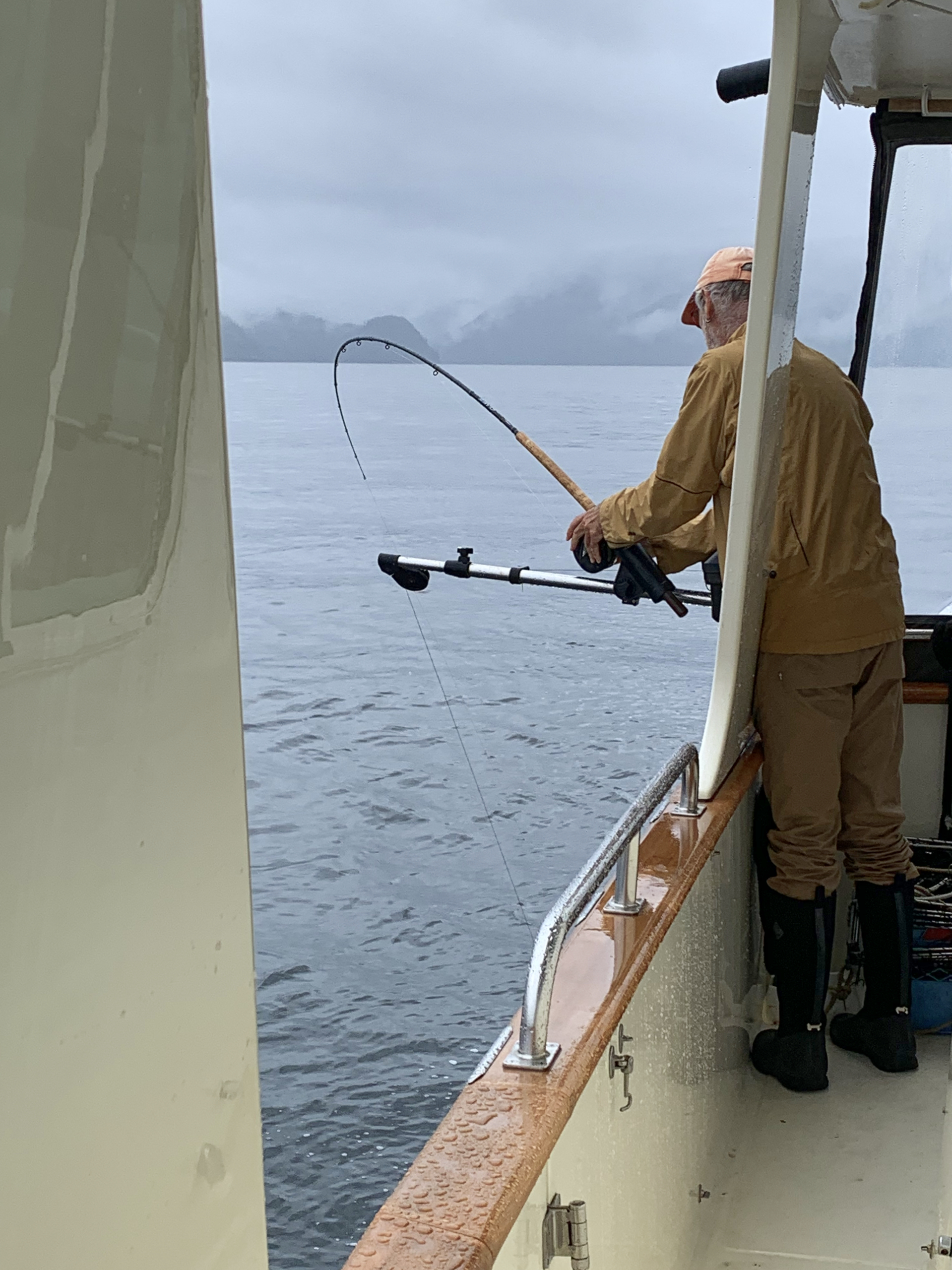
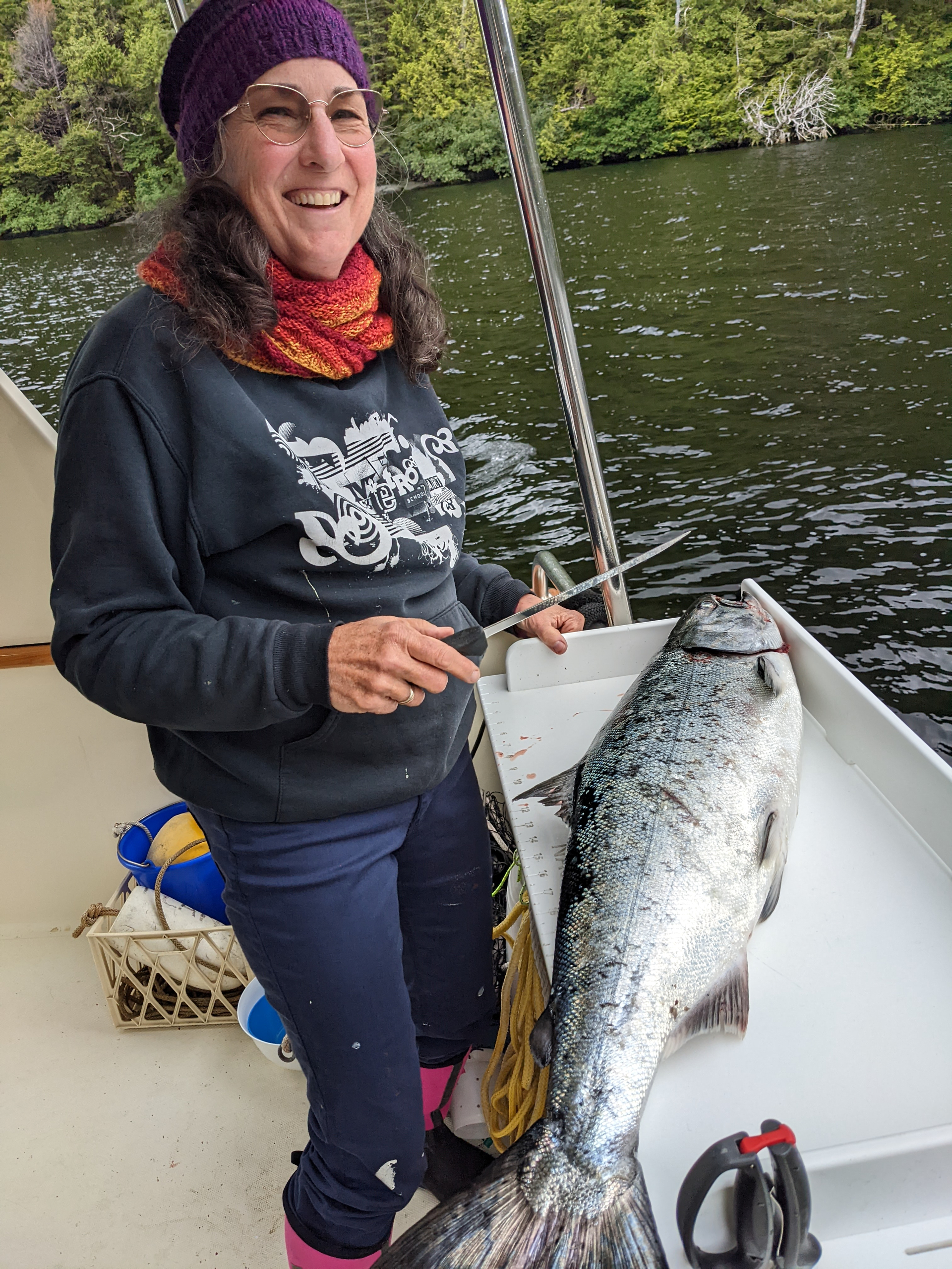
Later that day we tried fishing again. It didn’t take long to pull in a salmon that was big enough to feed us for many days.
.
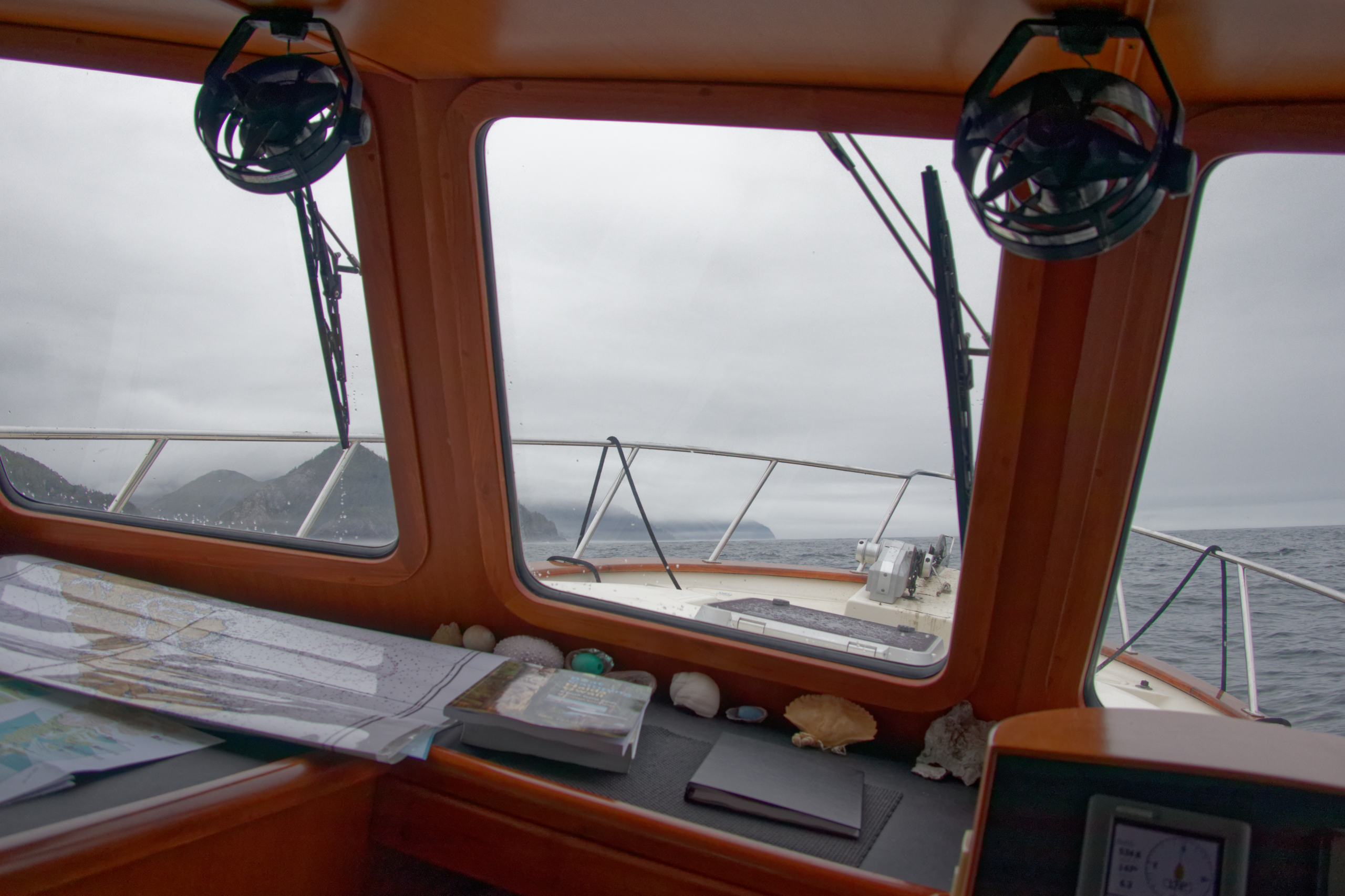
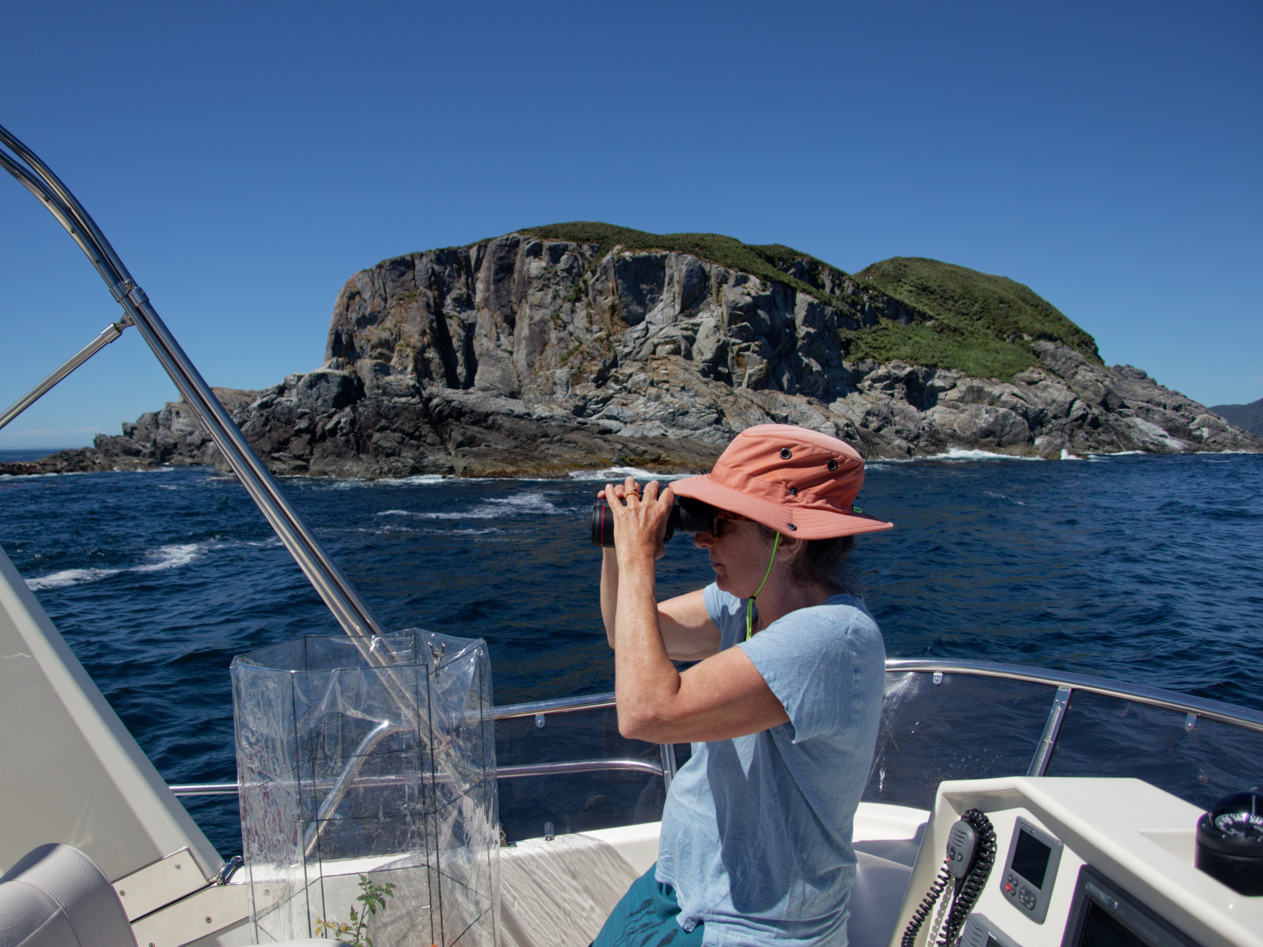
Continuing down the coast, the weather was calm but the 2 meter swells persisted, rocking us around as we cruised along.
.
.
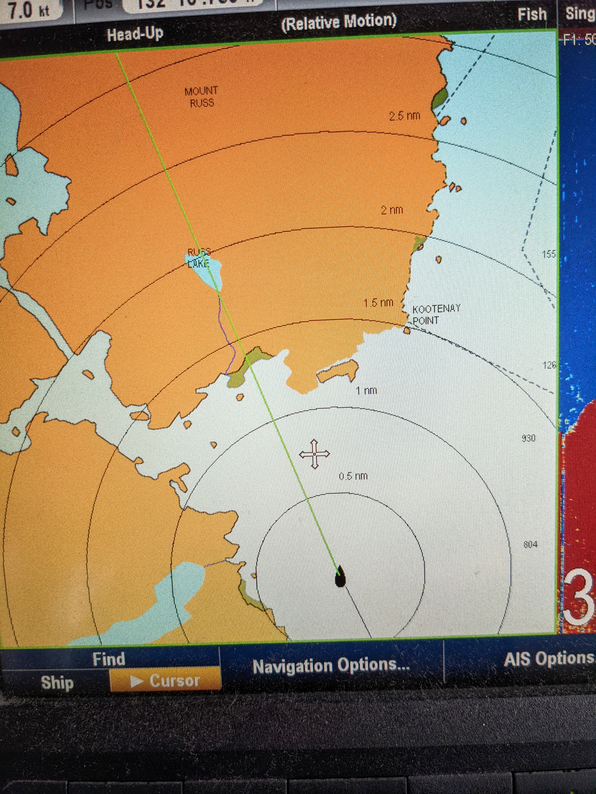
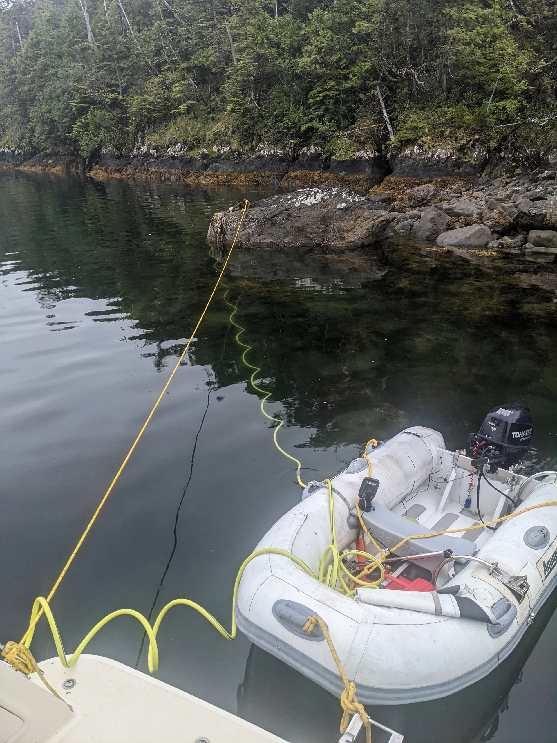
One of the ‘features’ of the west coast of Moresby island is the lack of nautical chart data. You can see in this picture of the entrance to Kootenay Inlet on our chartplotter that there is no detail on the chart. Even some of the coastline is not clearly defined. We had a guidebook that gave us more detailed information, but we also kept a sharp lookout when entering harbours!
.

A rainy day in Kootenay Inlet is a good time to bake some bread.
.

Back out on the coast, we sometimes feel that we have gone back in time, to a time when the whole earth was wild.
.
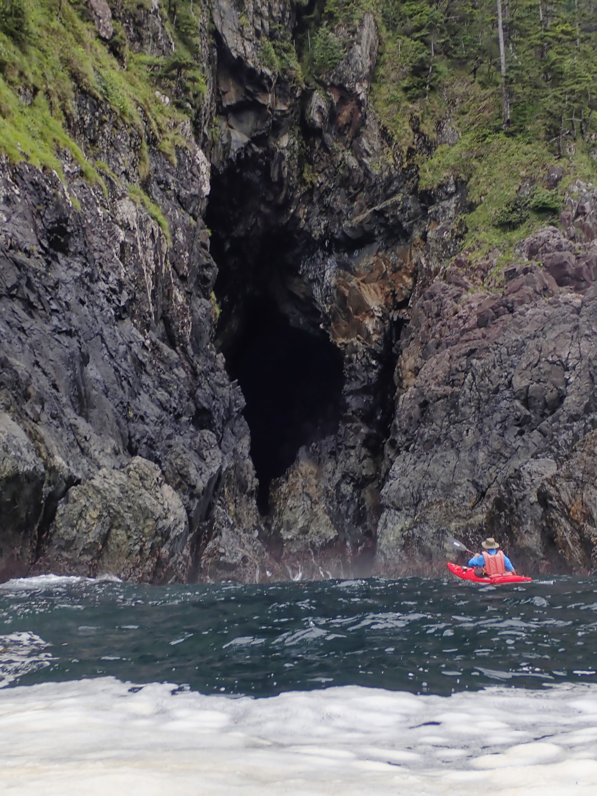
Wherever we could, we would get out in the kayaks and explore parts of this wild coast. Here I am investigating one of the many sea caves along the coast.
.
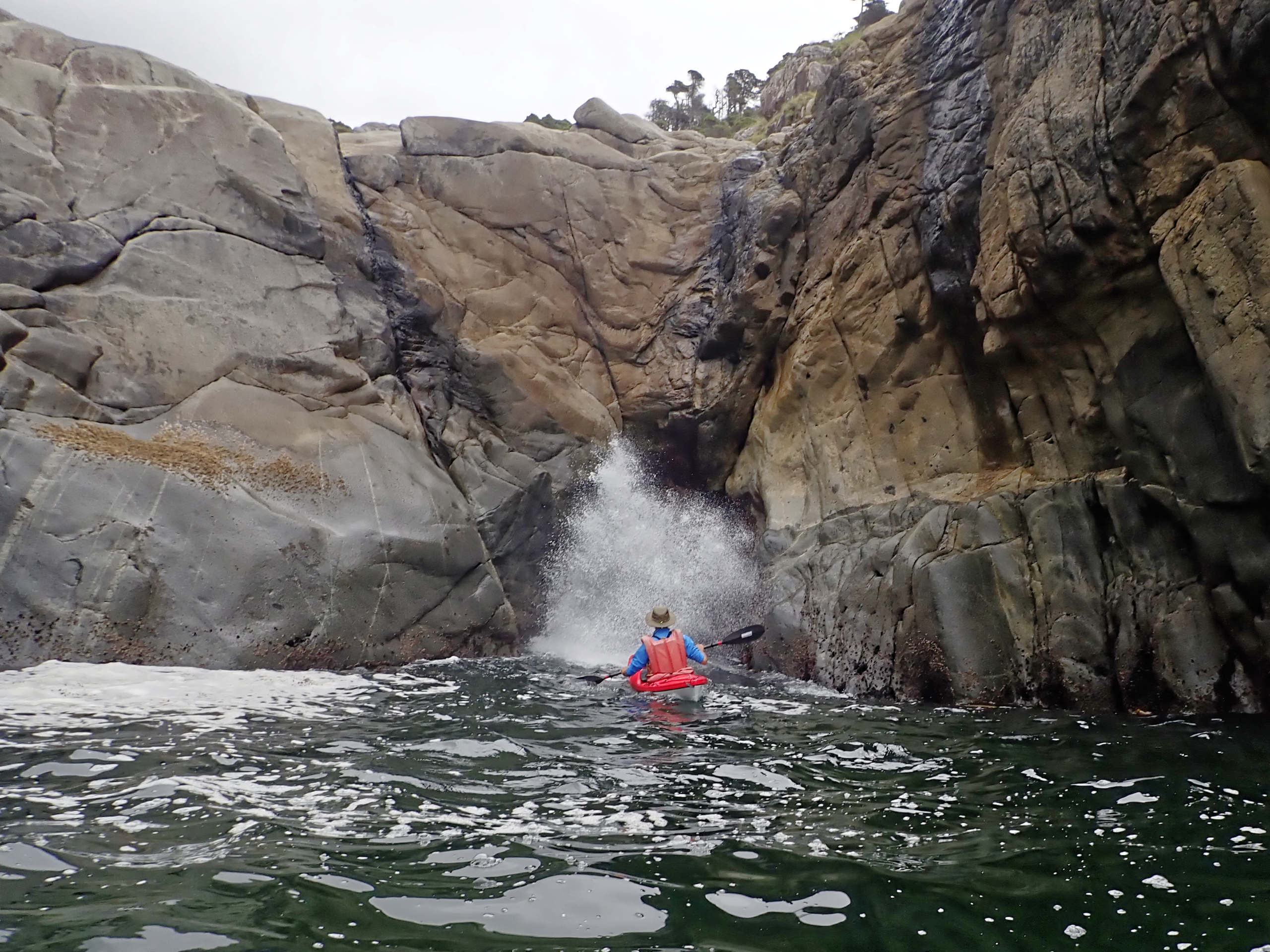
I am risking getting a saltwater shower at this blowhole. The blowhole is a small cave at water level. Incoming swells block the entrance and compress the air inside, which explodes back out in a shower of spray and a belching roar.
.
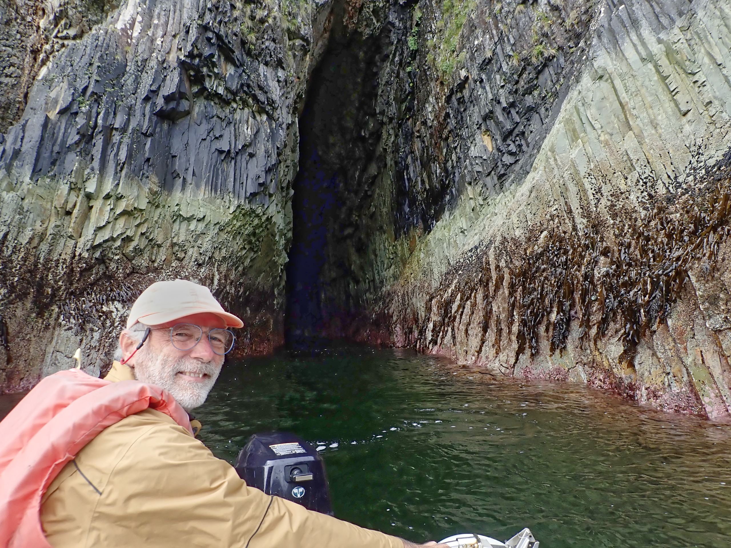
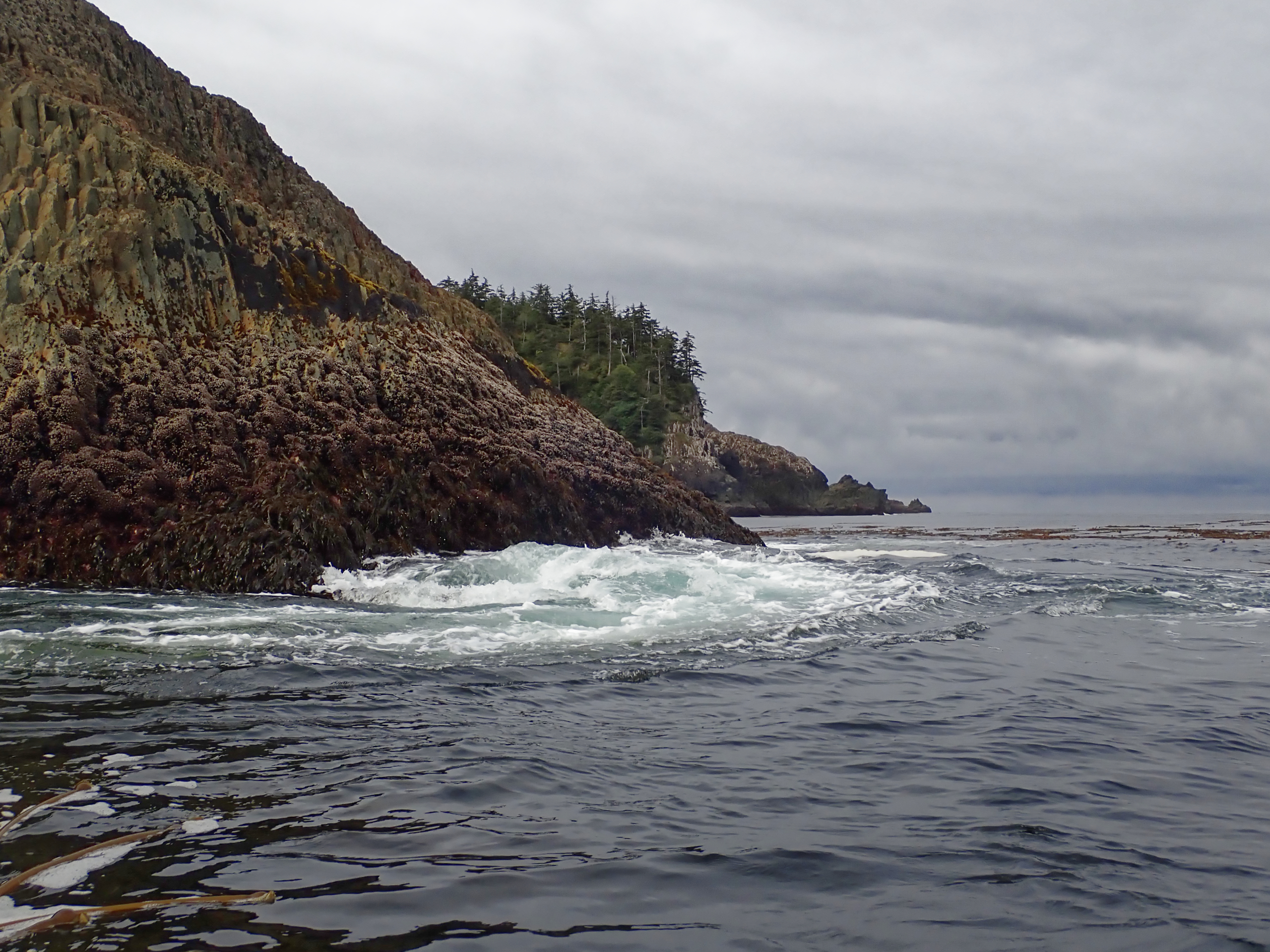
We took the dinghy to explore this cave in a remarkable volcanic basalt column rock formation. There is a lot of evidence of volcanic activity all along the BC coast.
.

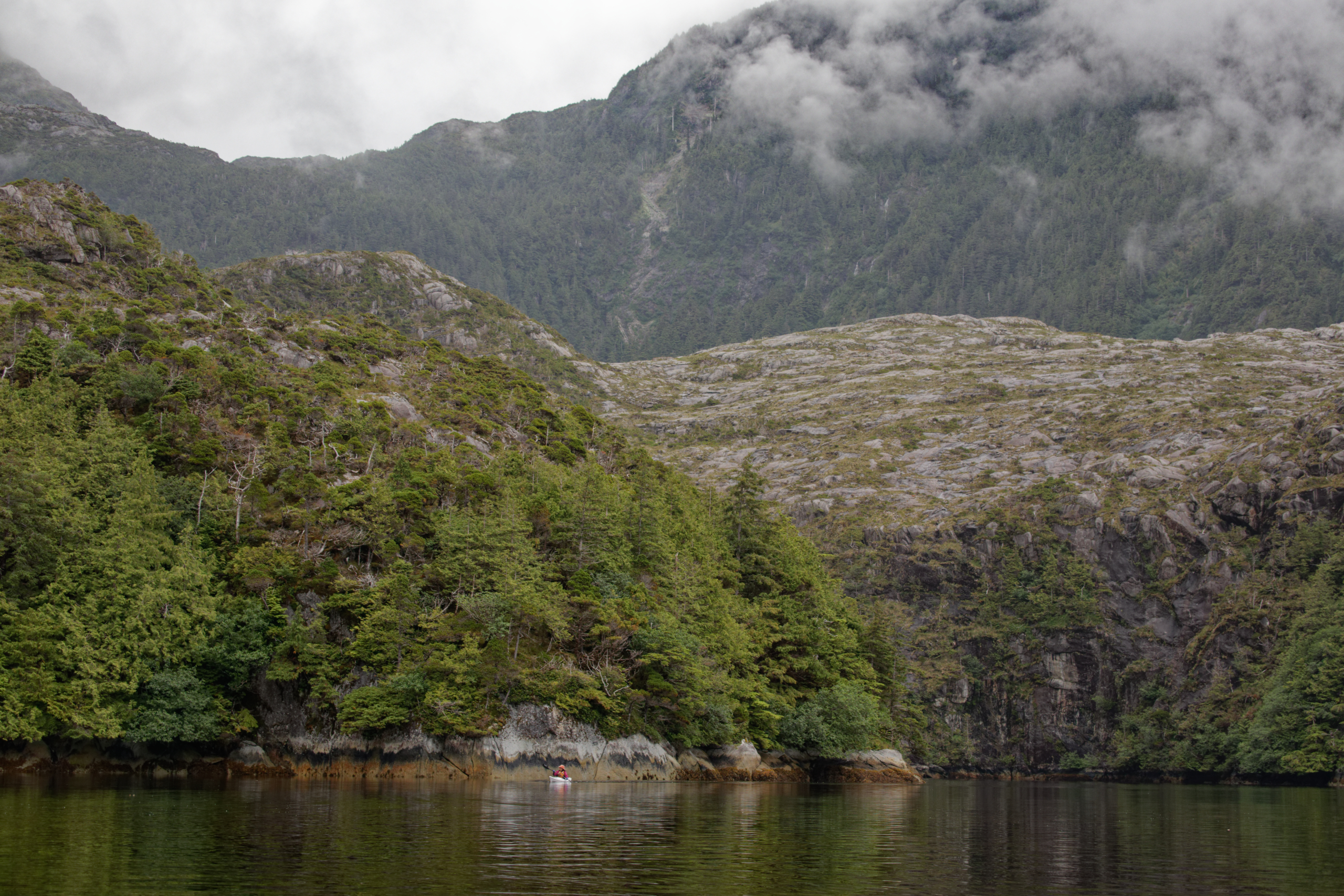
Blue Heron Bay, our favourite place on the outer coast. We carefully navigated the narrows at high tide to anchor in the sheltered ‘pond’.
.
Paddling in Blue Heron Pond. The Pond is ringed with rock walls and is surrounded by a ring of mountains. It feels like we are in a crater within a larger crater.
.
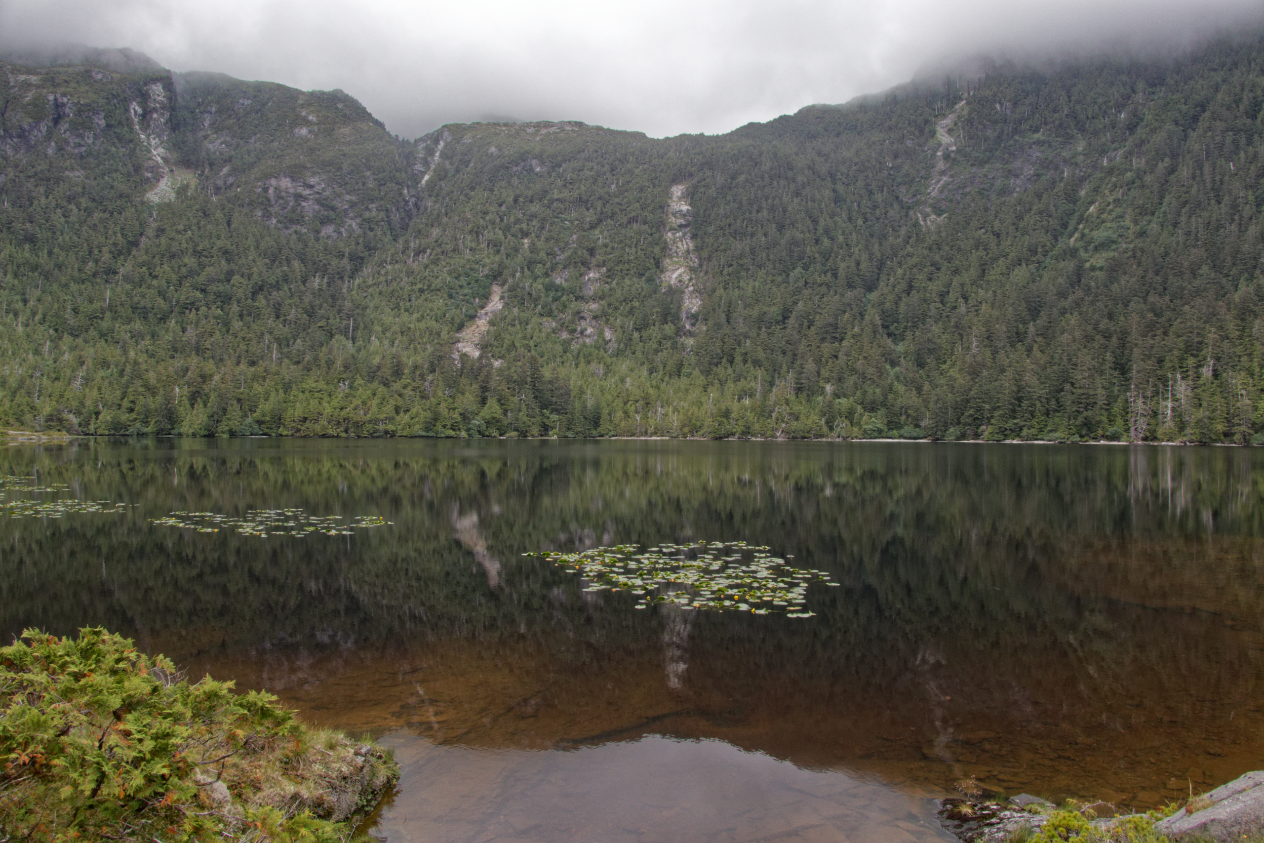
We hiked up over the rock bluffs to discover a beautiful lake.
.
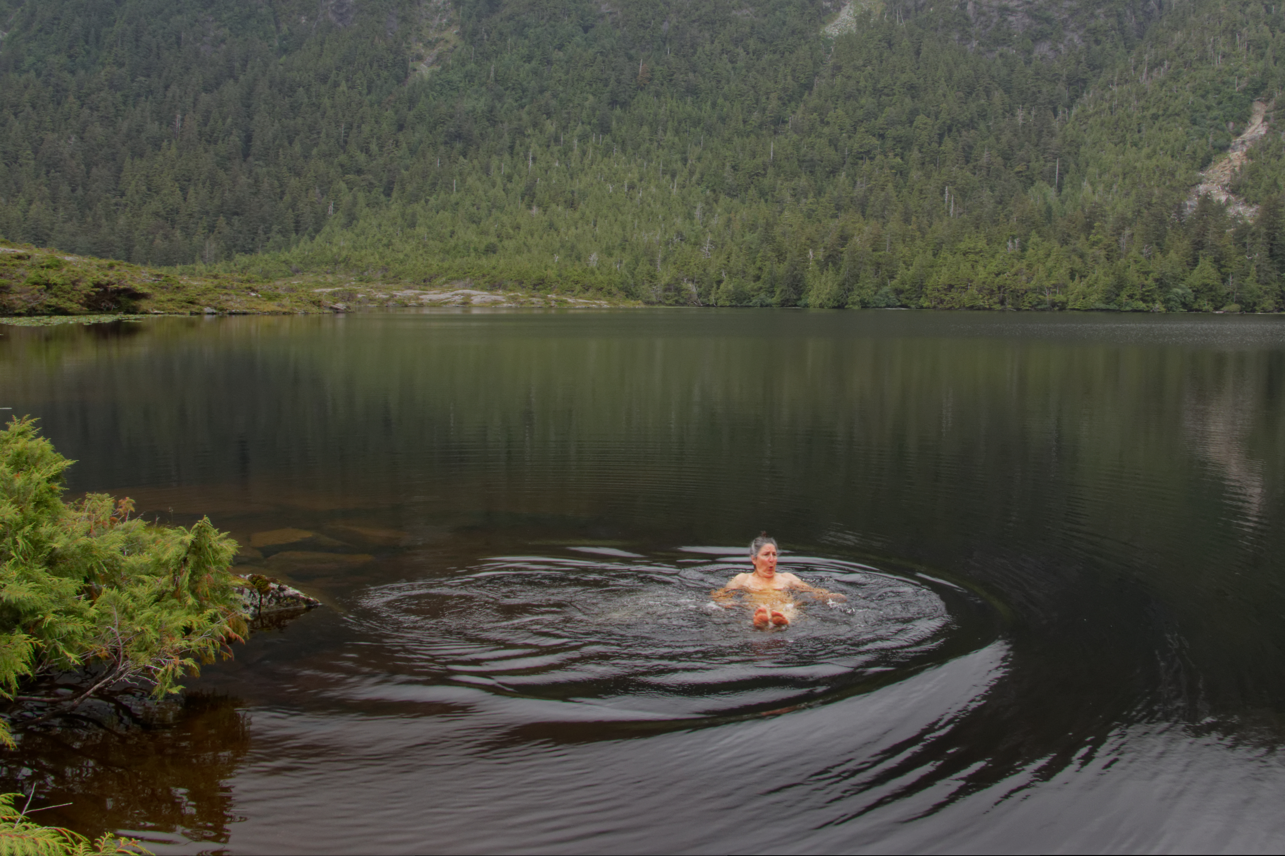
Despite the cloudy and cool weather, someone just had to go for a dip!
.
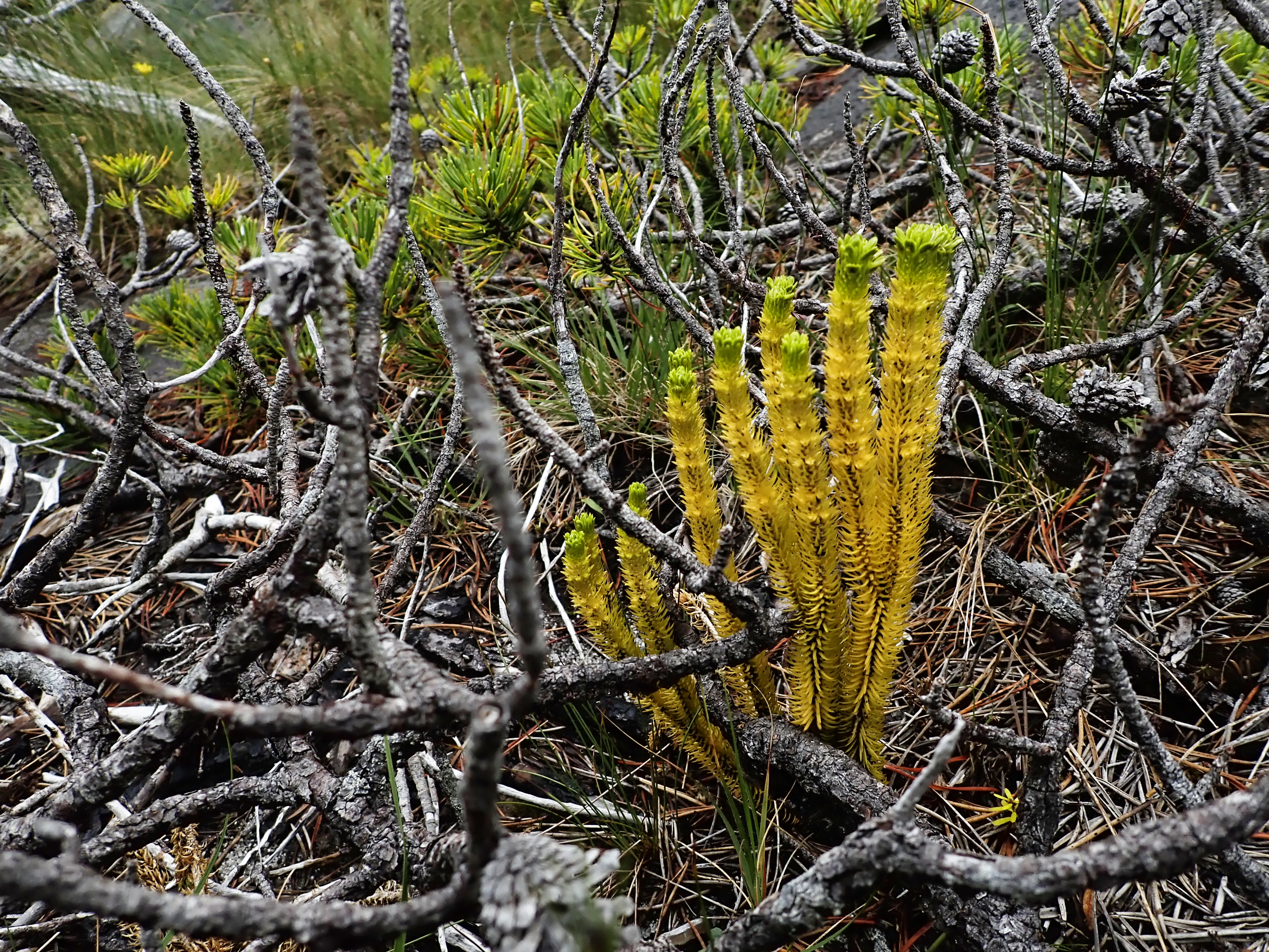
The rocky bluffs had an alpine feel with a variety of low plants and twisted trees.
.
The morning we left Blue Heron Bay, the mountain tops briefly revealed themselves.
.
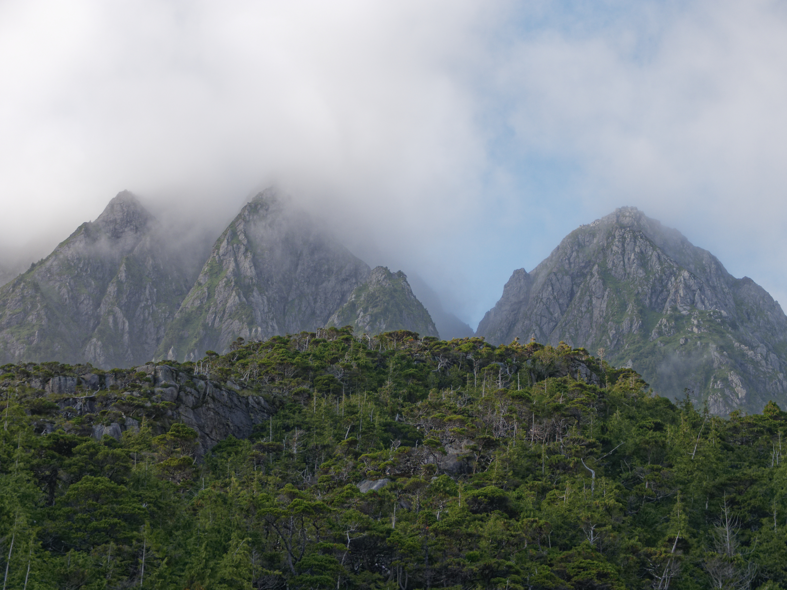
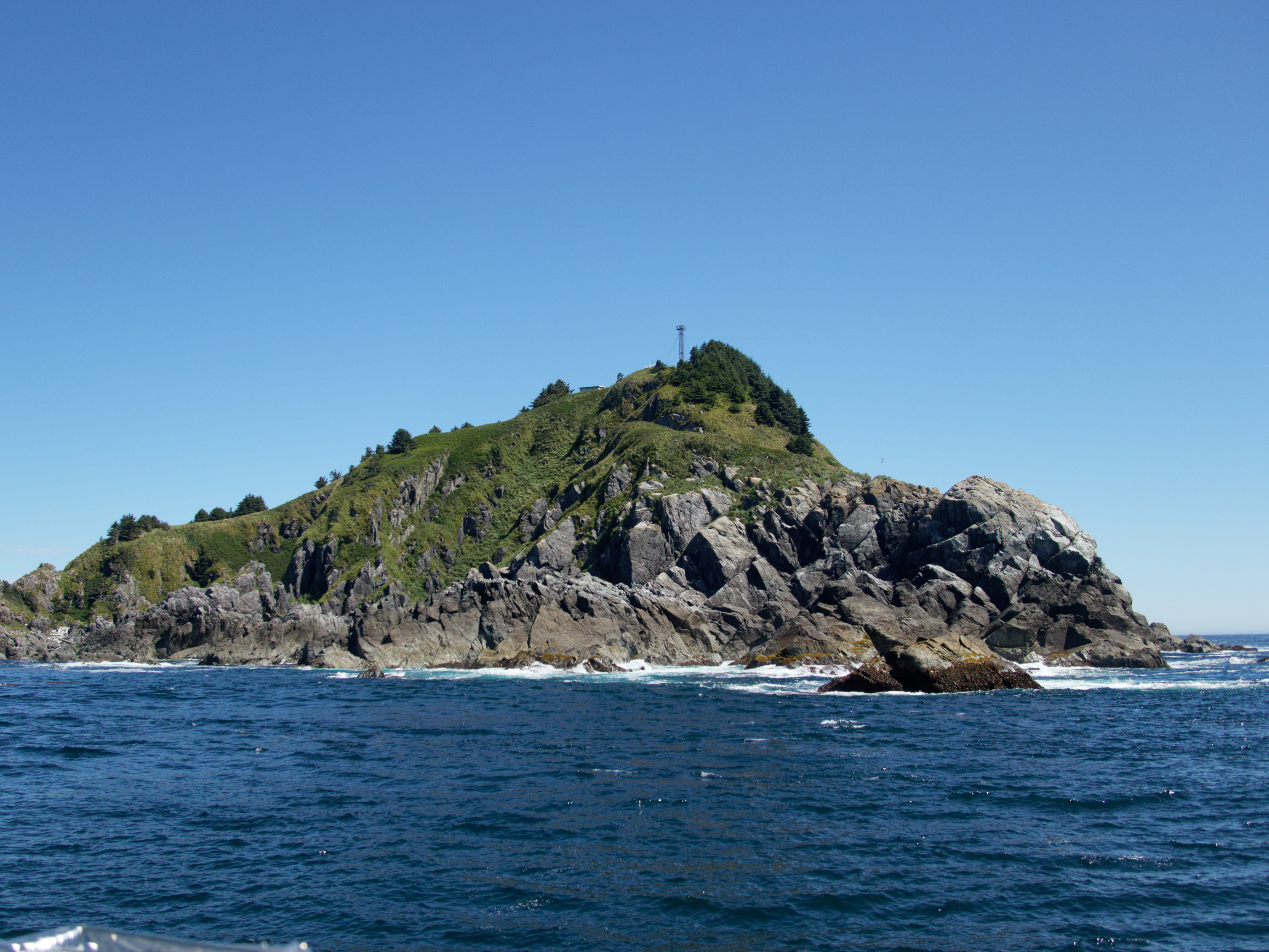
The Fangs, at the entrance to Pocket Inlet.
.

Exploring the beach at the head of Pocket Inlet.
.

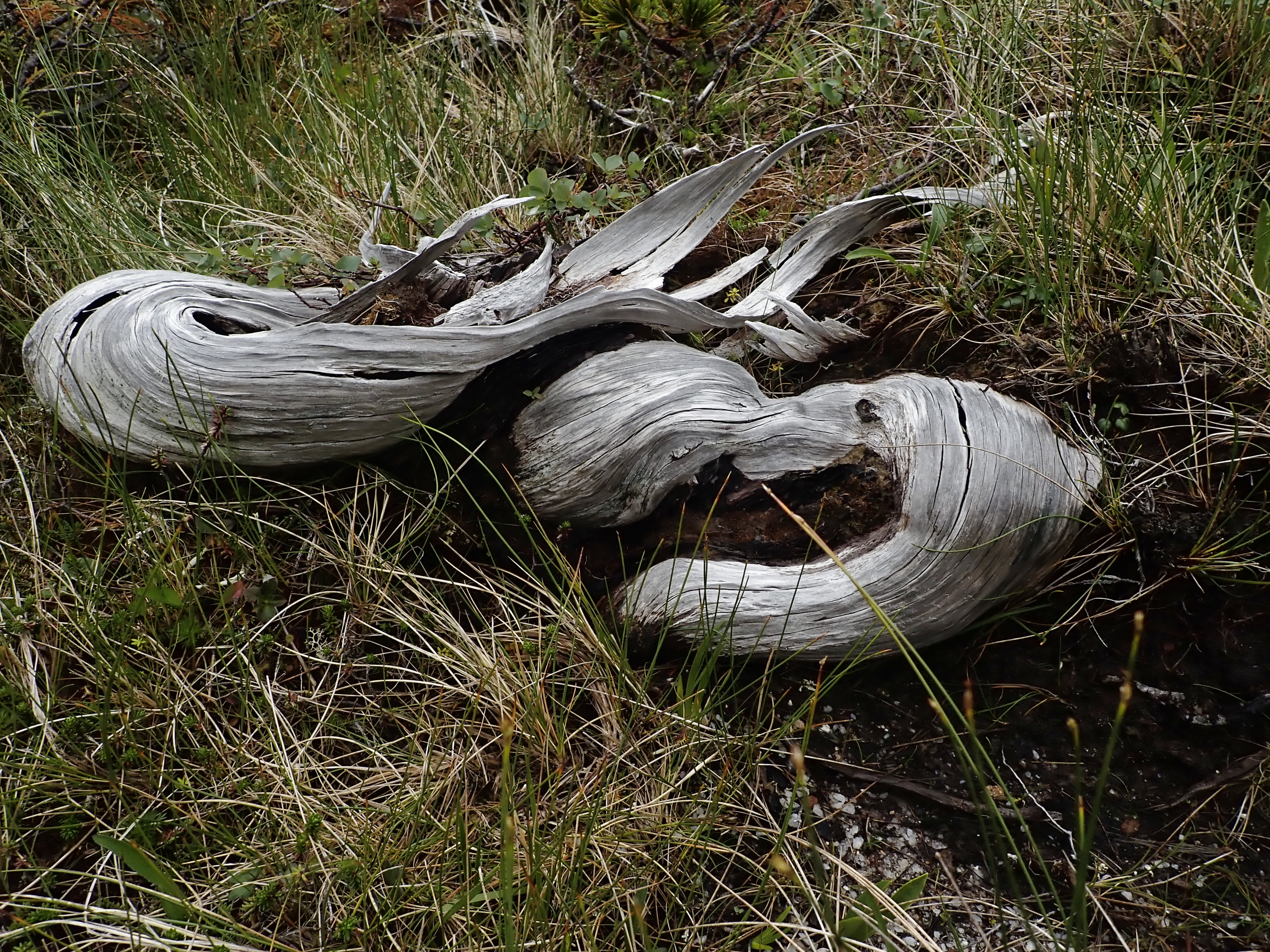
A wind-blasted forest is a common sight along the outer coast.
.
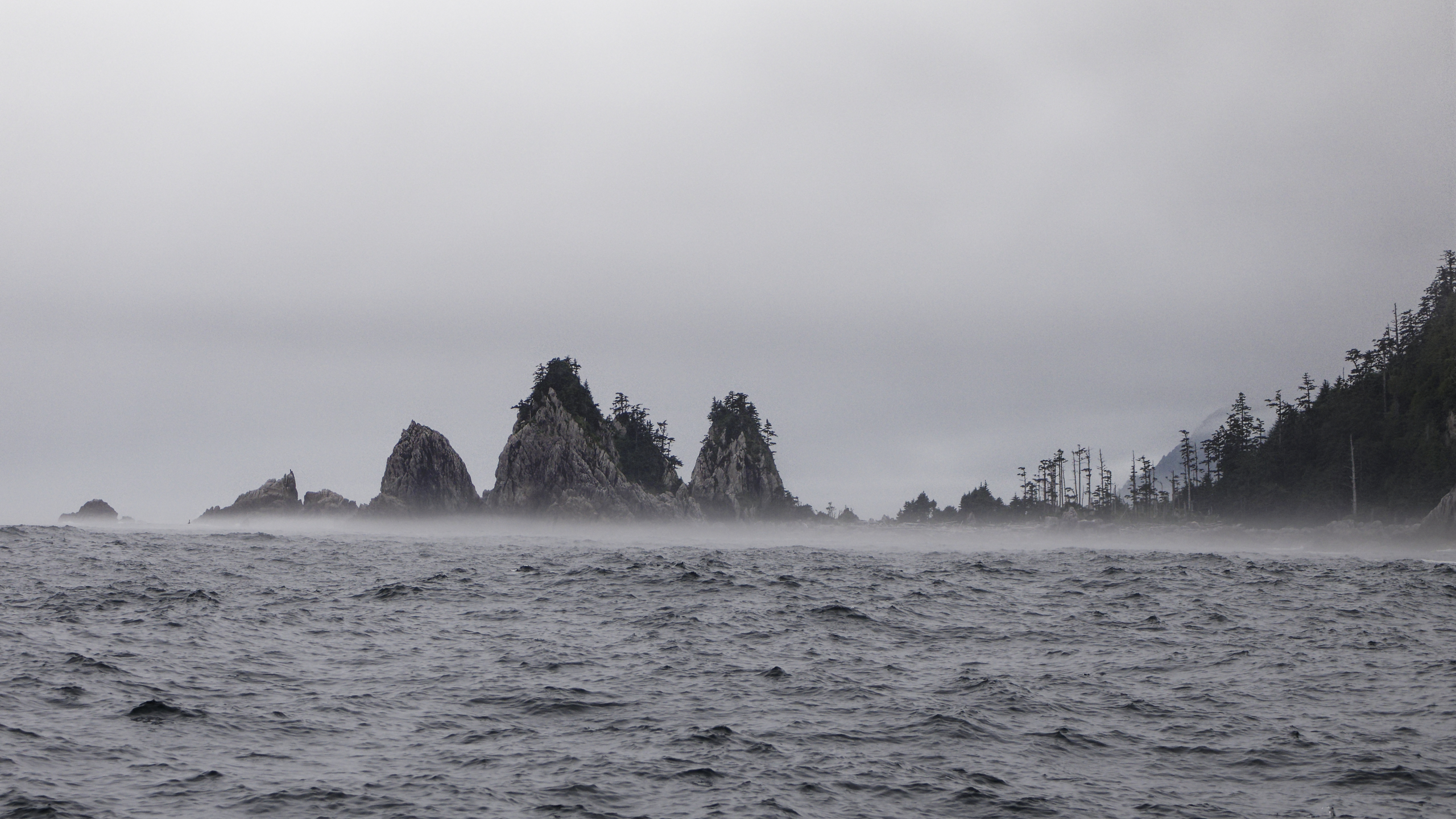
Two Buck Bay was foggy when we arrived to explore it’s beaches.
.

.
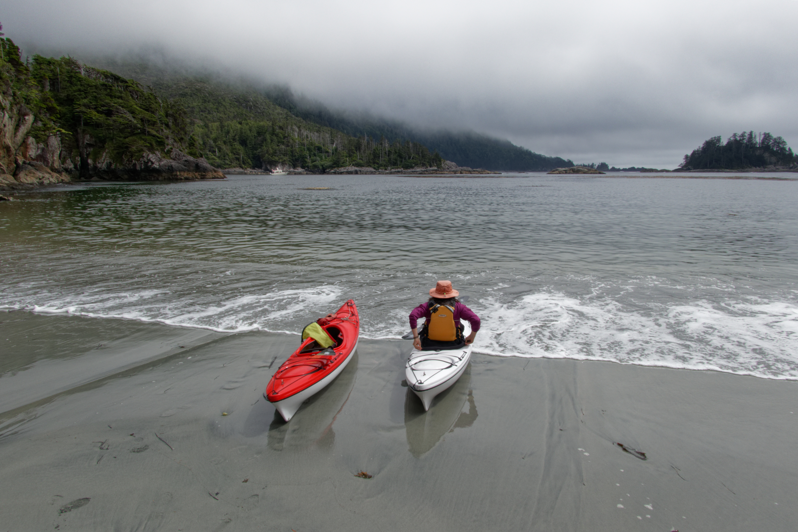
The beach was lovely. We were longing, though, for a sunny day….
.
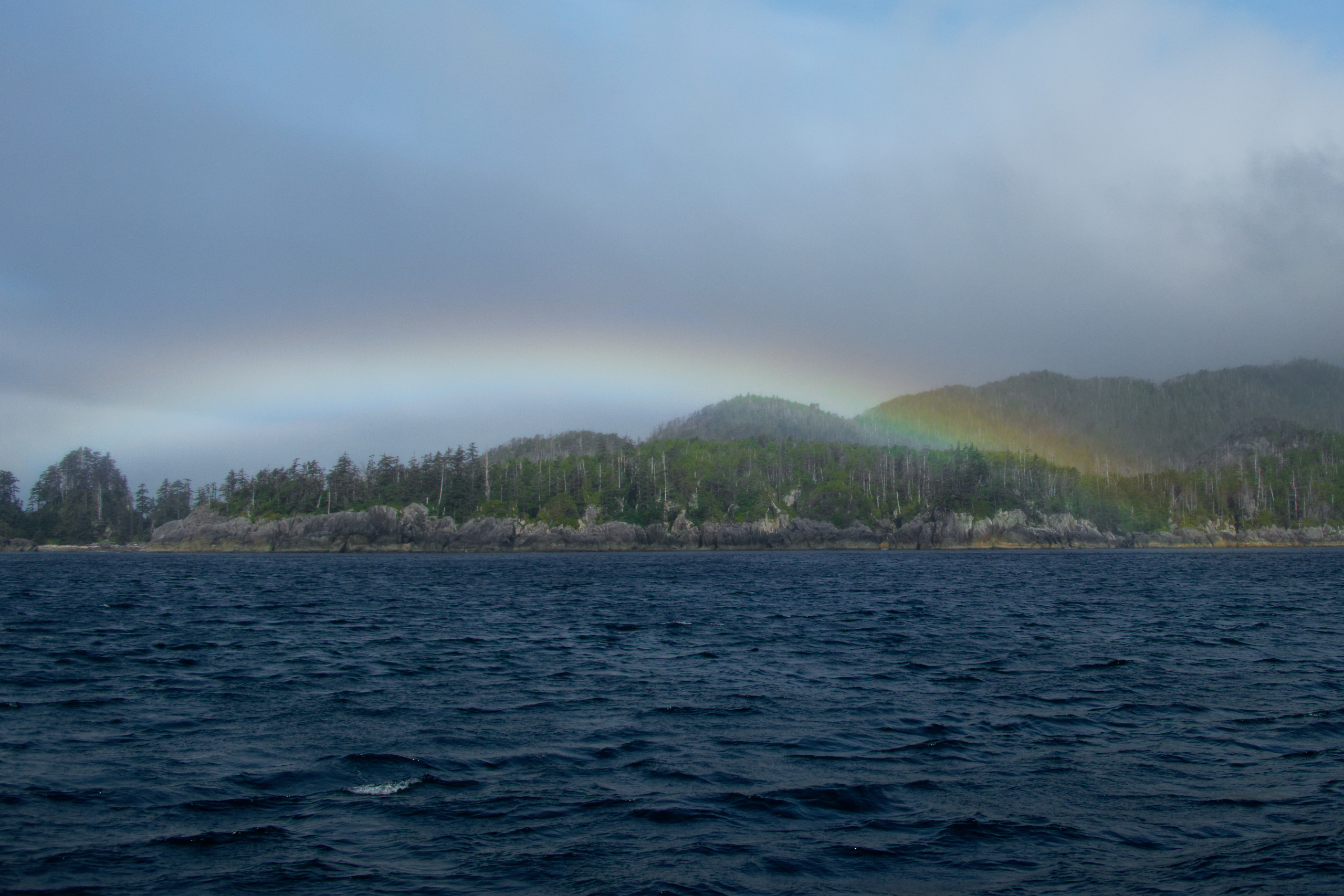
A fogbow heralds the beginning of a stretch of nice weather!
.
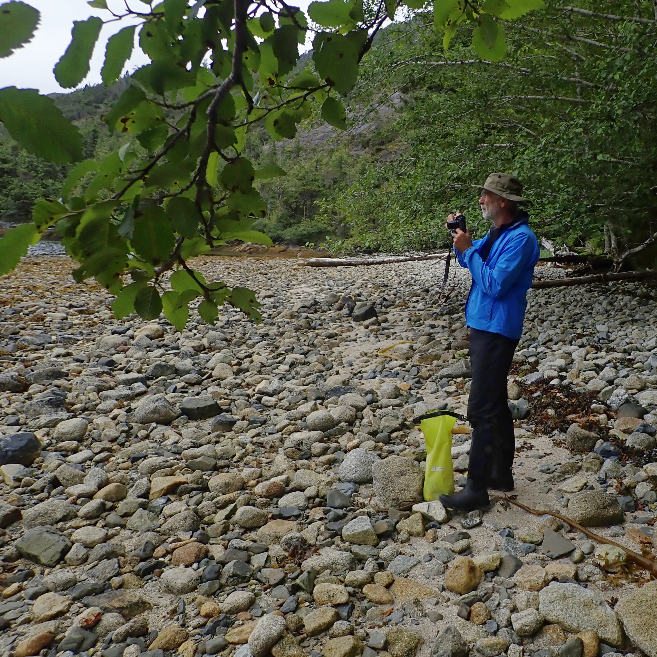
We are now approaching the south end of Moresby Island, and here we stopped at Louscoone Inlet to pick up fresh water from a stream.
.
The totem poles at the former Haida Village of SGang Gwaii, the Unesco World Heritage site near the south end of Moresby Island.
.
.
.
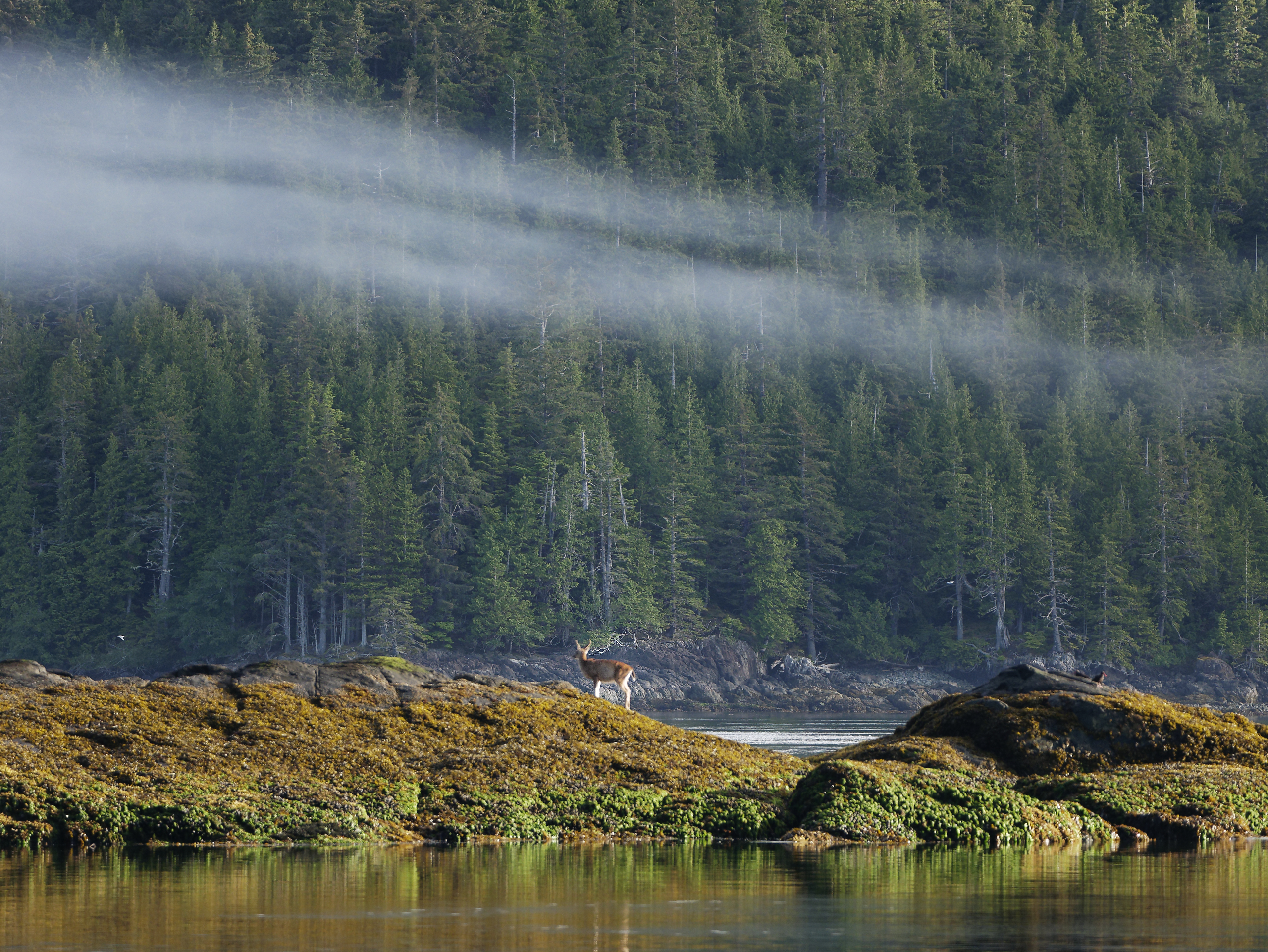
A deer on the shore at Rose Harbour. This was the calm morning before the storm. Yes, we had a storm.
.

Anchored along the north shore of Rose Harbour along with another boat during the storm. The weather was exceptionally clear and sunny but the winds were fierce for two nights and a day. We fared well, with only the loss of some sleep and one of our windshield wipers(!).
.
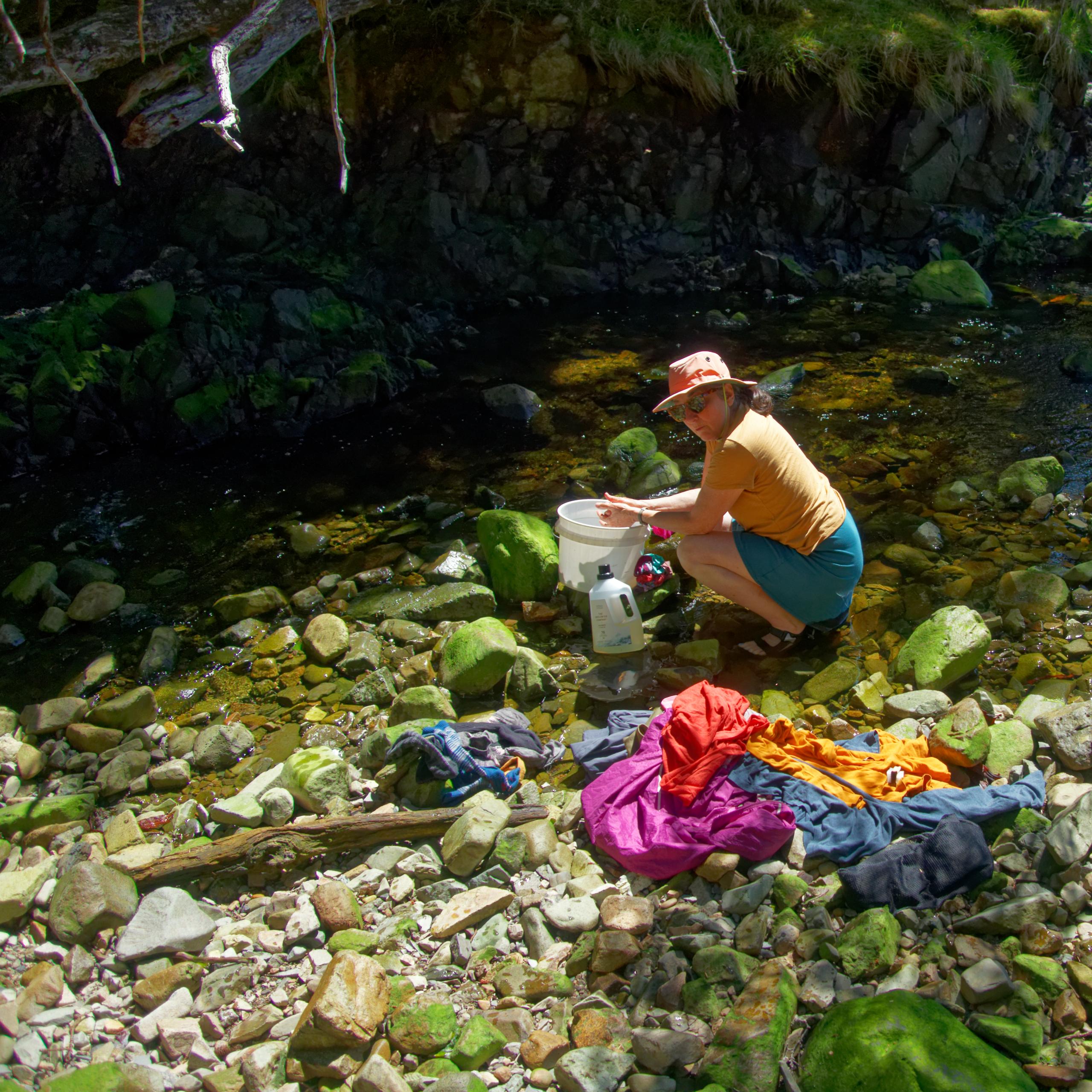

After the storm, we took advantage of the sunny weather find a creek to wash some clothes, and ourselves.
.

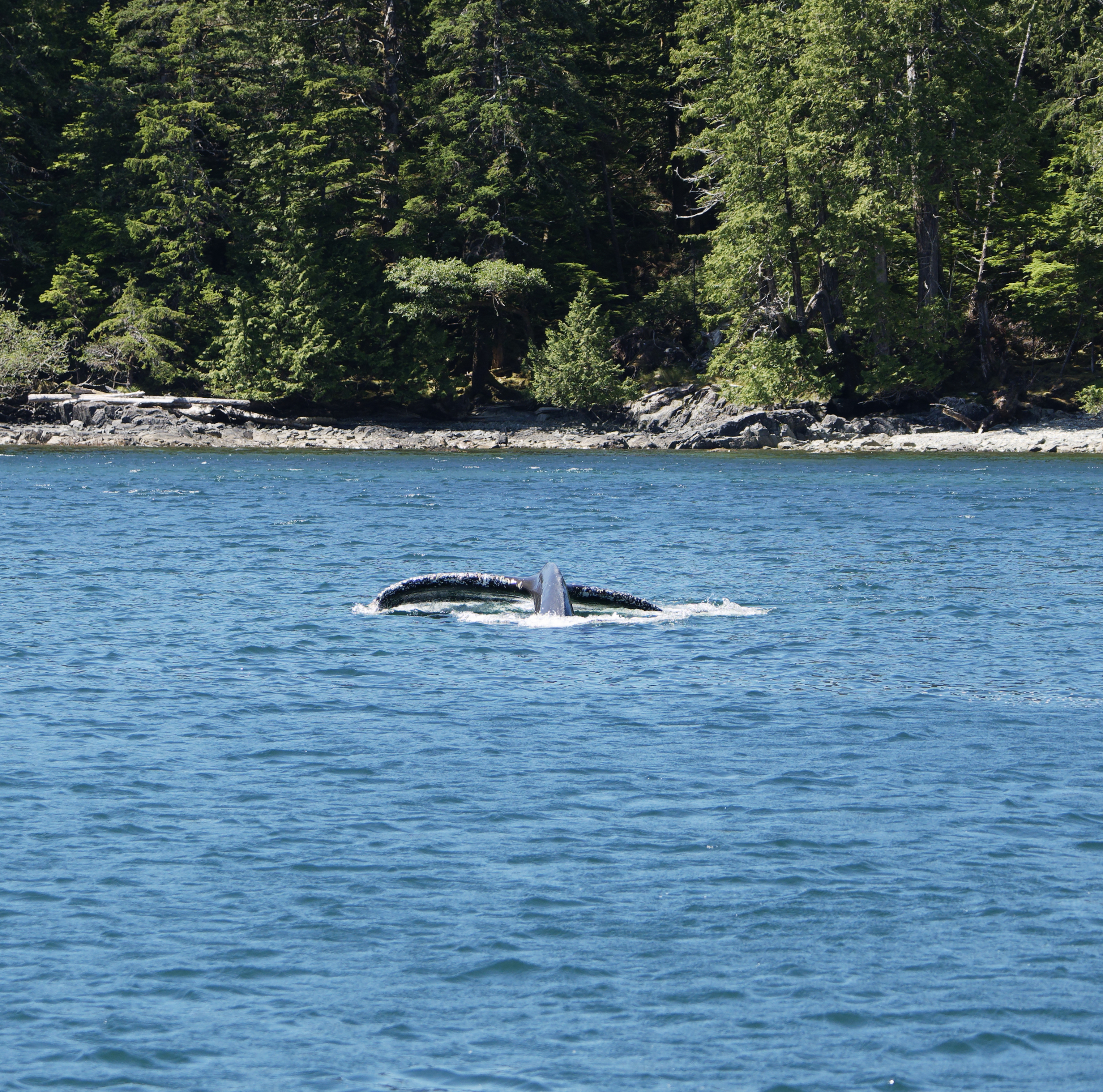
A whale came by and did something we hadn’t seen before. The whale would submerge and blow bubbles for while, then would turn and lunge through the bubble zone. We think this is similar to ‘flick feeding’ and perhaps the bubbles are used to disorient krill so that the whale can scoop them up.
.

Free floating solar flares appear in the sky one morning.
.
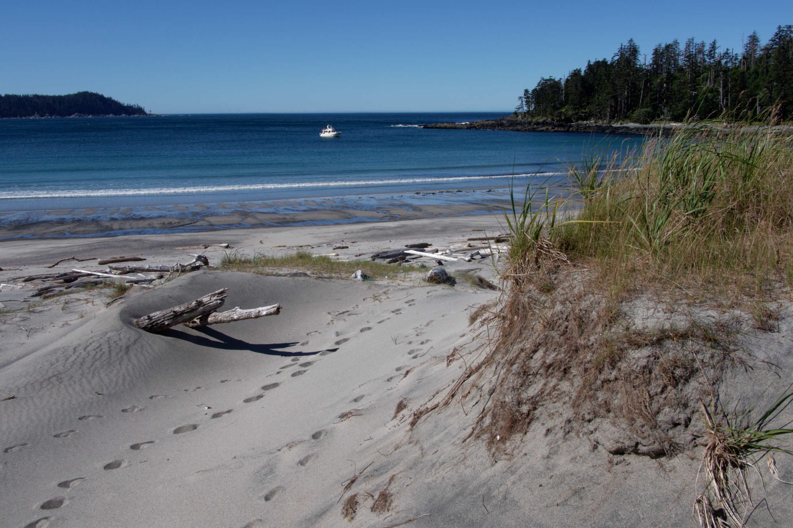
At the south end of Moresby Island is Kunghit Island which forms the southern tip of Haida Gwaii. Kunghit island has several superb beaches, including this one, backed by sand dunes, at Gilbert Bay. If you want a beach with no one else around, this is where to come!
.
We round Cape St James, at the southern tip of Haida Gwaii.
.
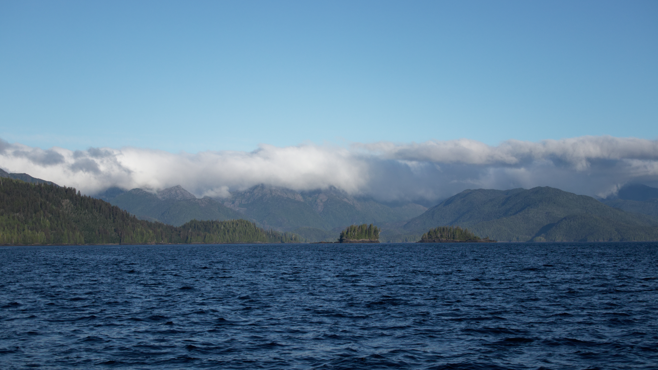
We are now travelling up the east coast of Moresby Island, which is much more sedate, and has better weather than the wild west coast. The picture above is looking west, where you can see the marine cloud and fog massing up against the mountains. For sure it is misty and grey on the other side!
.

We stopped at Burnaby Narrows, which is a navigational challenge, but a great place to explore, with exceptional sea life visible at low tide.
.

The narrows at low tide.
.

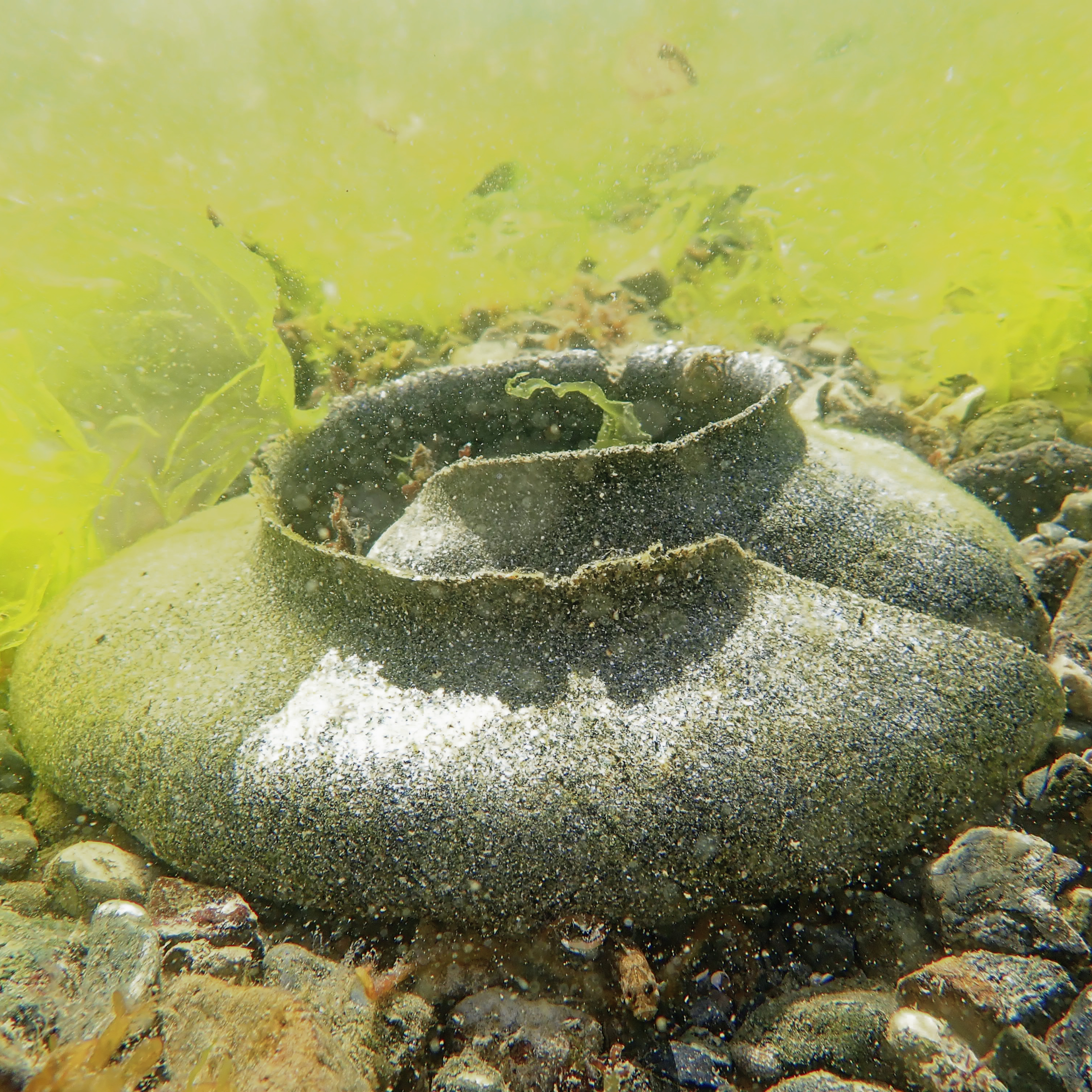
Colourful seaweed and bat stars on the sea floor.
,

Masses of sea urchins and anemones, and a moon snail egg case.
.
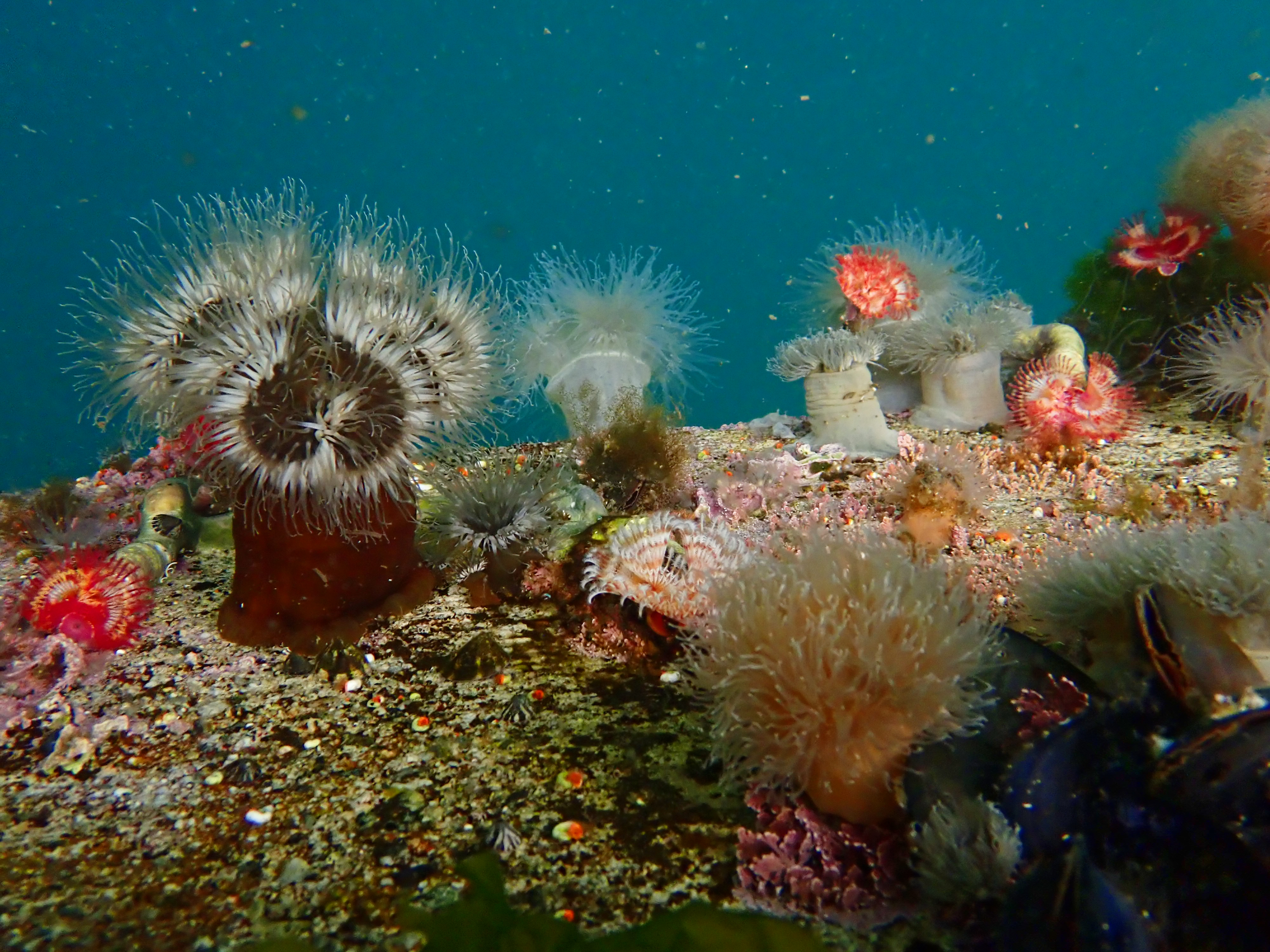
Blooming anemones in deeper water.
.

Remains of a cabin on the shore.
.
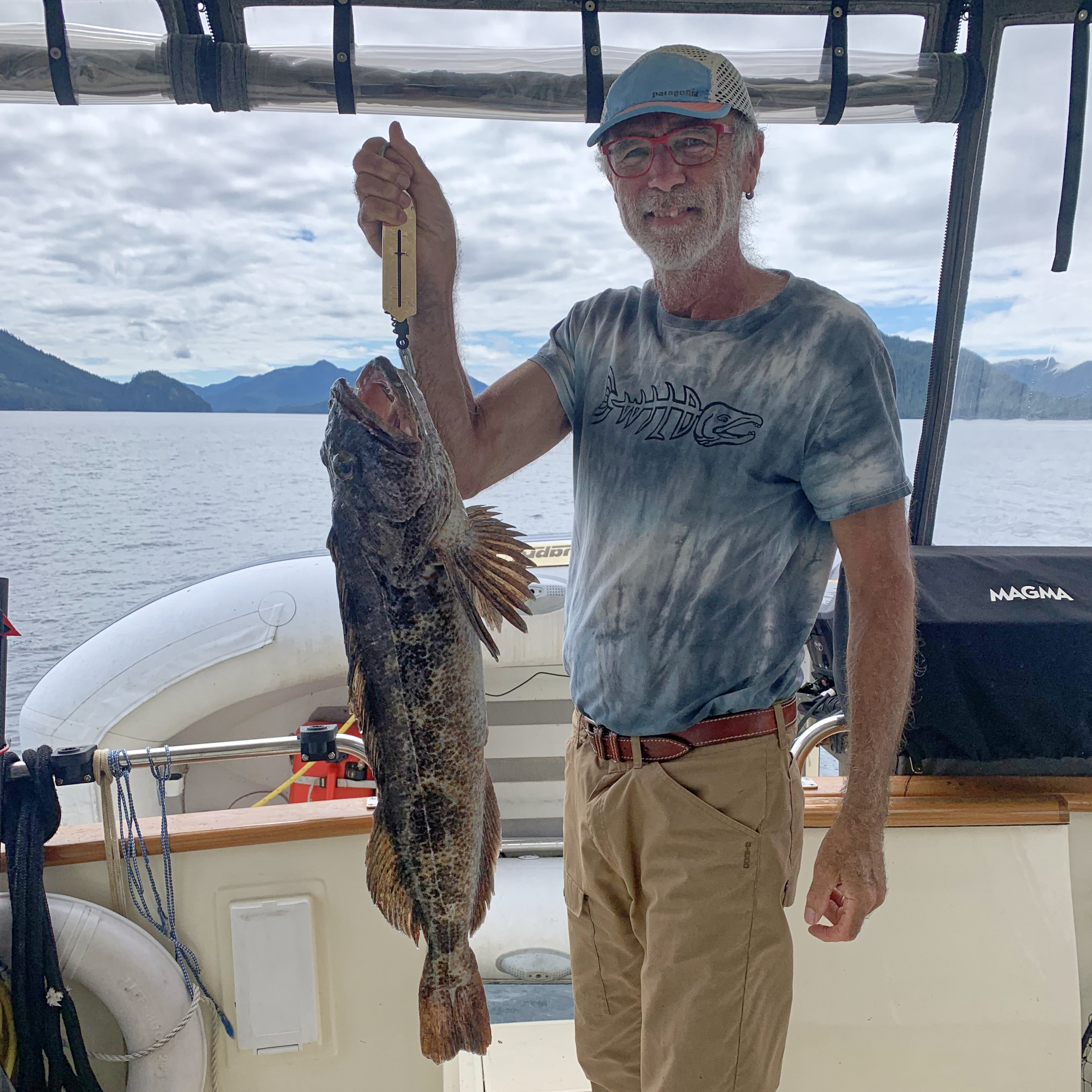

The next day I caught a ling cod. Afterwards, Jan is busy cubing up the fish to freeze. Later we can use the cubes in chowder, curry or fish tacos.
.

Of course no trip to Haida Gwaii is complete without a stop at Hot Spring Island. We were lucky to have the lovely hot pools to ourselves for a while but the place is busy, with a constant stream of tour groups. The Haida Watchmen limit access, however, so it never gets too crowded.
.
We mis-timed the tides at Hot Spring Island, so when we got back to the dinghy we had to wait a while for the tide to come up….
.
We stopped at three more former Haida village sites:
Windy Bay, which was the centre for the logging protest movement which resulted in the creation of Gwaii Haanas park. The Blinking Eye house was built during the time of the protests and housed some of the protesters. The totem pole was raised in 2013 and commemorates the park creation agreement.
.
Kuna (Tanu), a beautiful site with Haida house depressions and beams still visible under the moss.
.
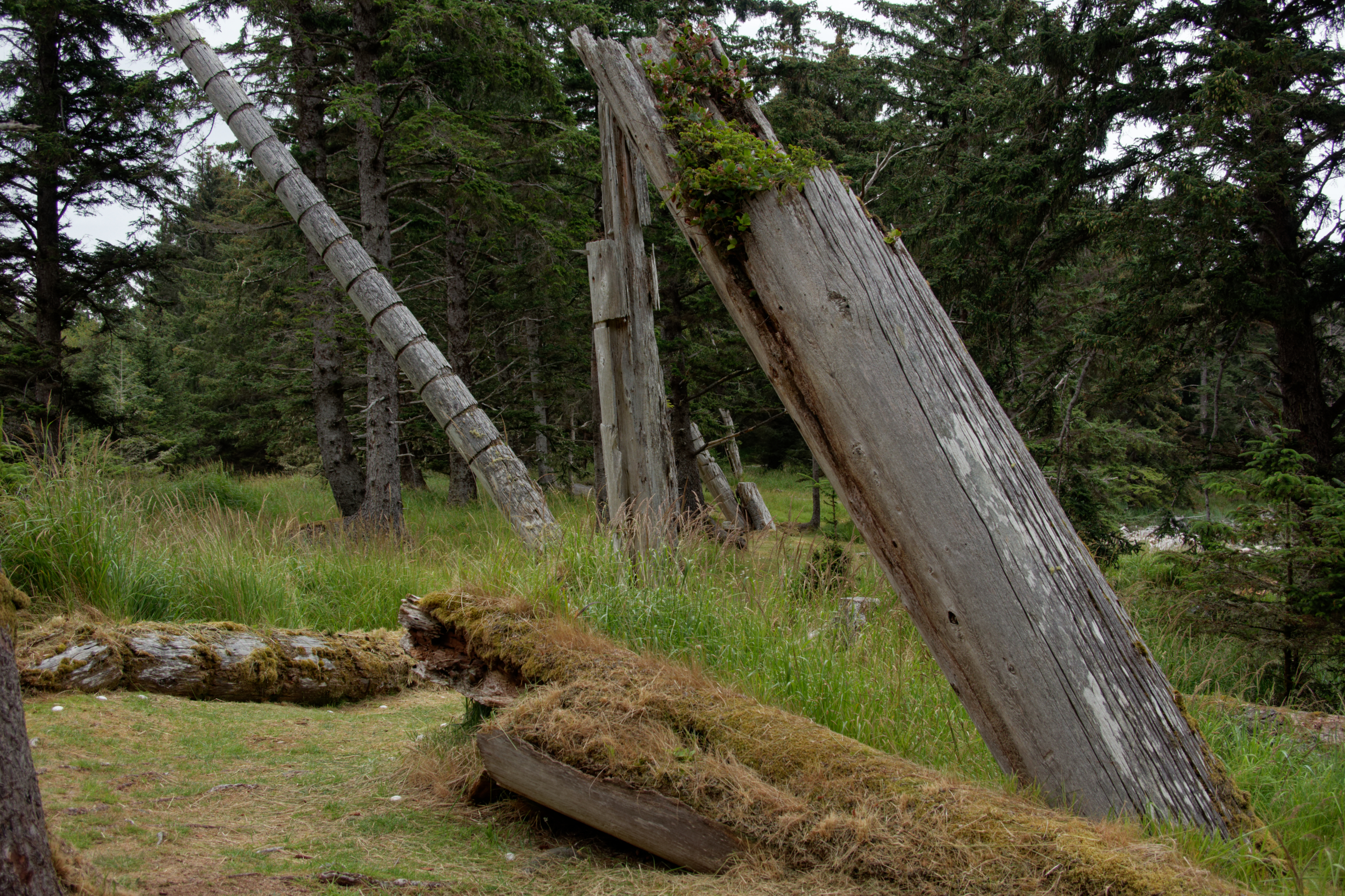
The remaining, leaning, poles at Skedans.
.
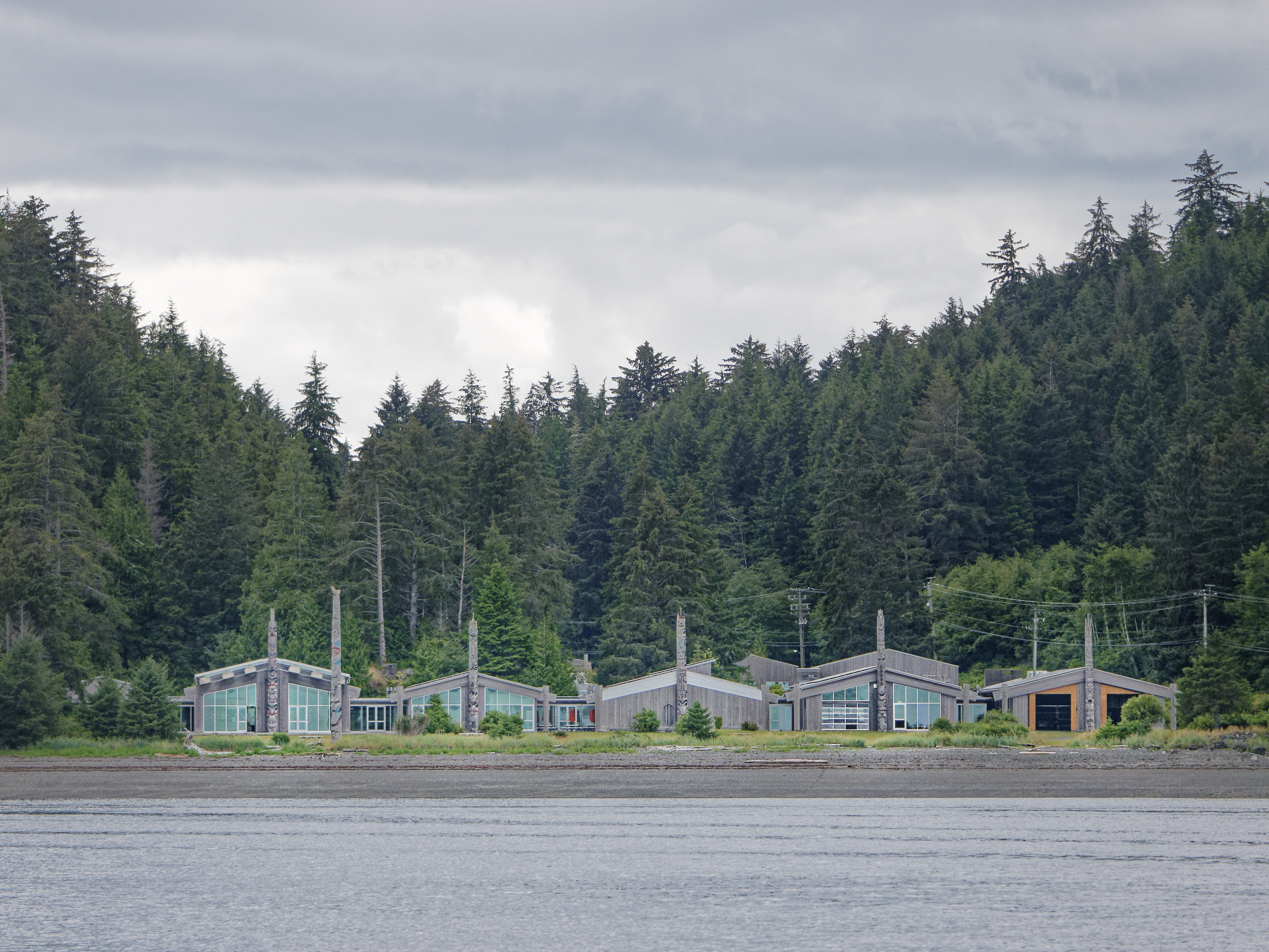
The Skidegate museum, which resembles a traditional Haida village, seen from the water.
We are now on our way to Daajing Giids (Queen Charlotte City)
.

Back in the harbour at Daajing Giids, we have now completed our circumnavigation of Moresby Island.
This has been one of the more adventurous trips that we have done, but it’s not over yet. We still need to get back home!