Our goal this year was to visit Haida Gwaii. But before getting out to those exotic isles, we needed to travel up to the BC mid-coast. Getting up to the mid-coast meant covering a lot of coastline that we had passed through before. Nonetheless, each trip up the coast is unique, with it’s own set of adventures and experiences.
Before the trip started, there was a maintenance project at the Shelter Island boatyard, where Raven Song was wedged in among a variety of craft:
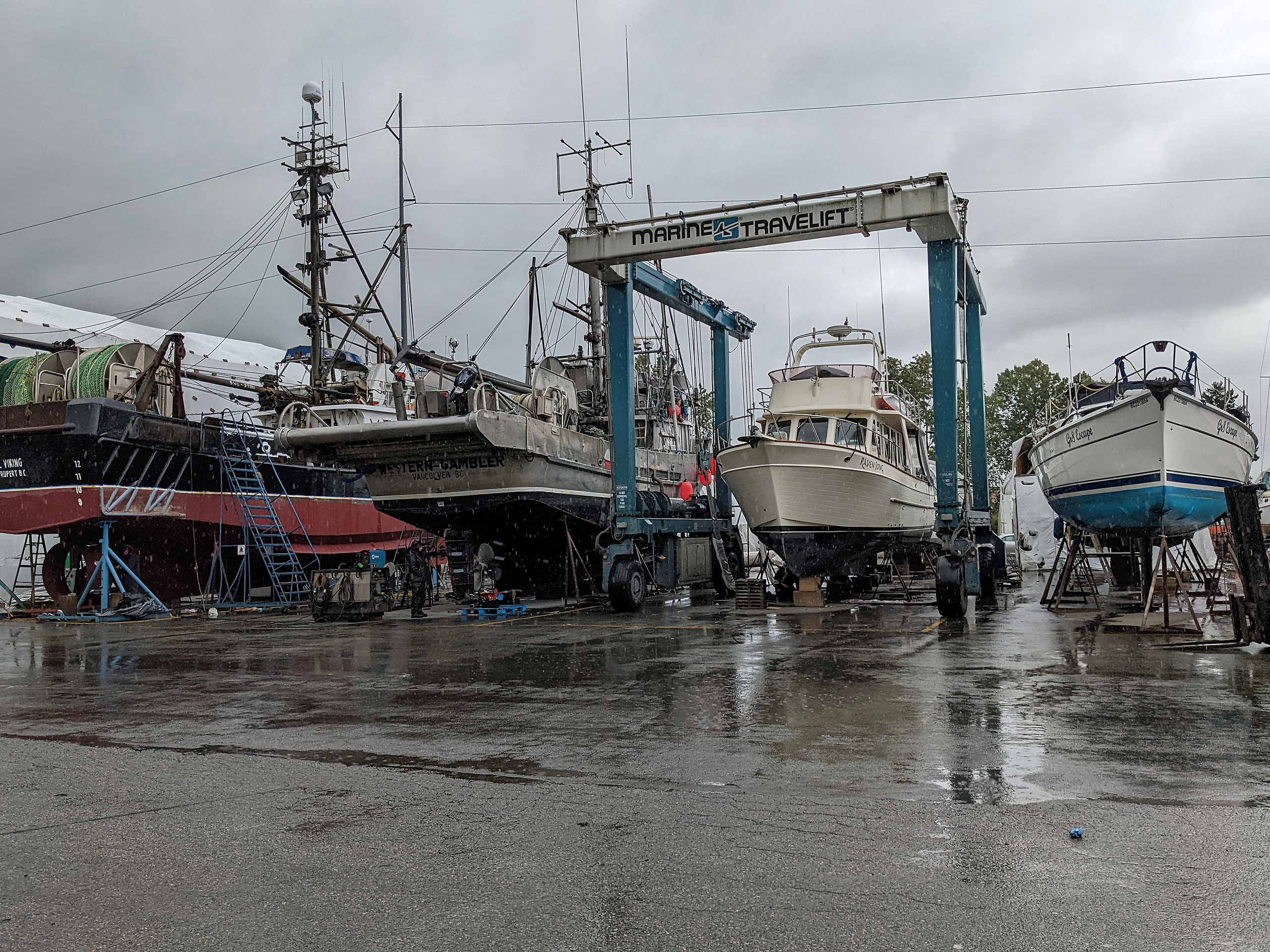
.
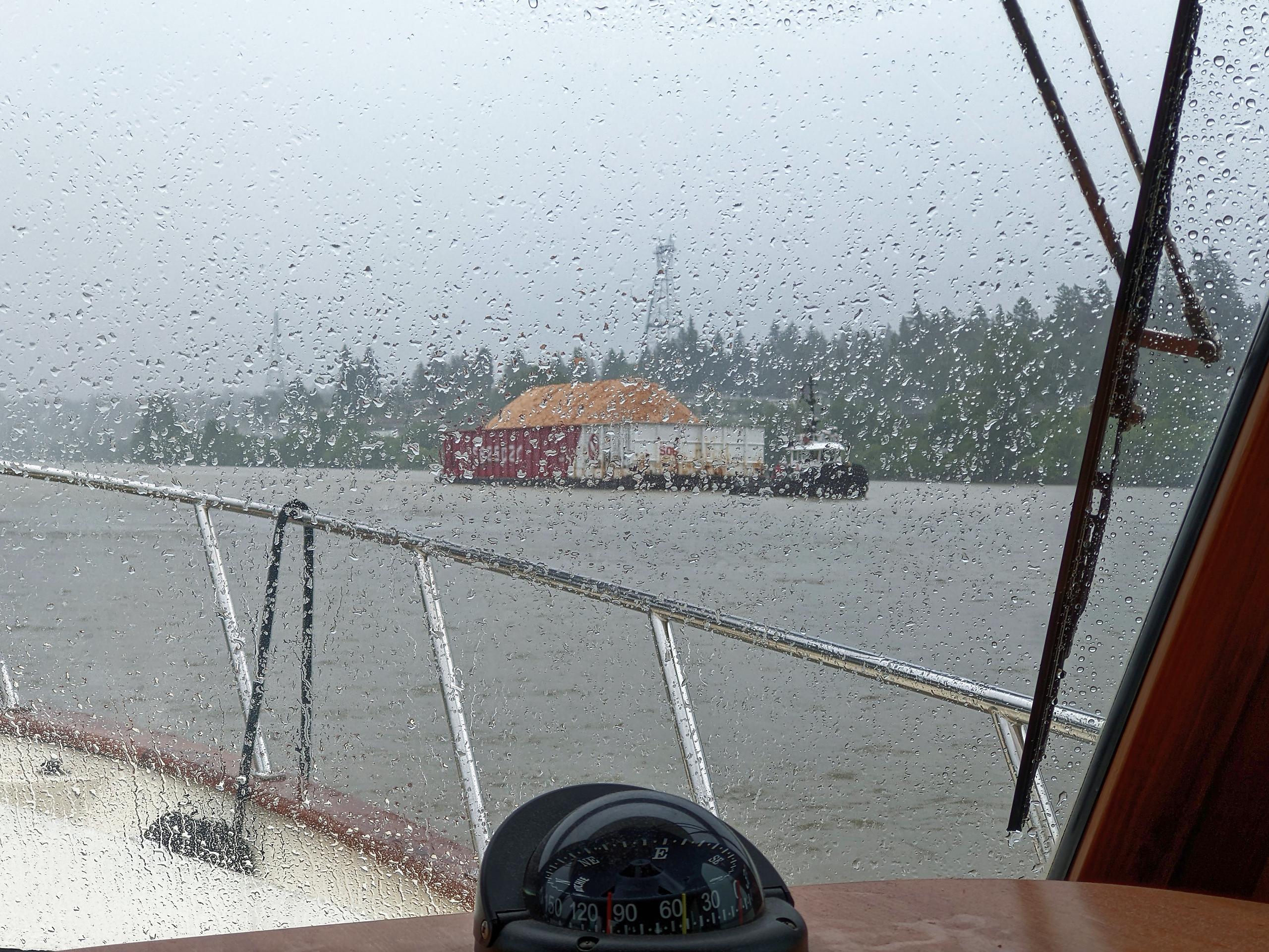
We were launched on June 3rd and had a rainy trip back to Milltown Marina.
.
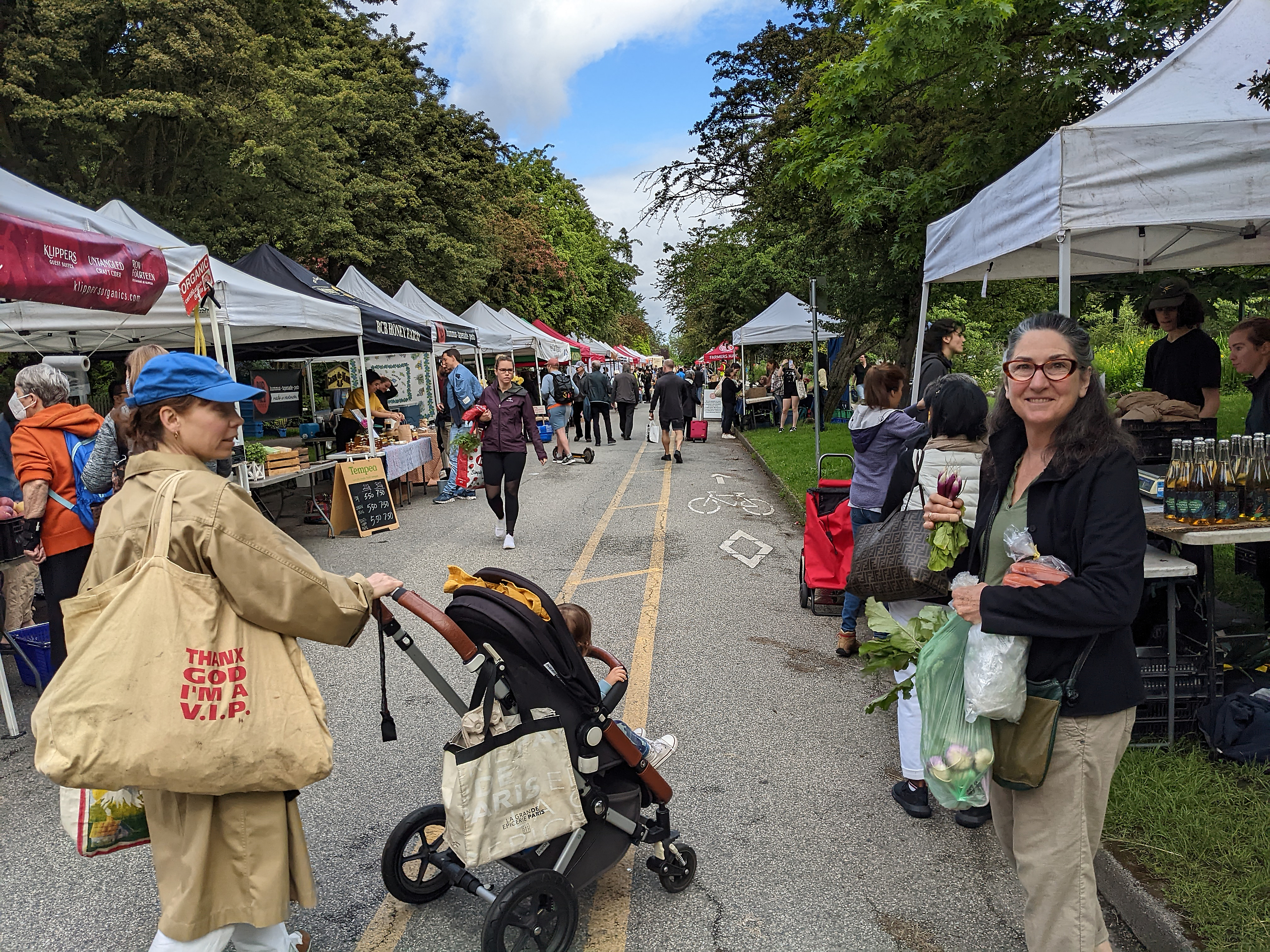
A week later Jan raided the West End farmers market for as much fresh produce as she could carry to top up provisions for our cruise.
.

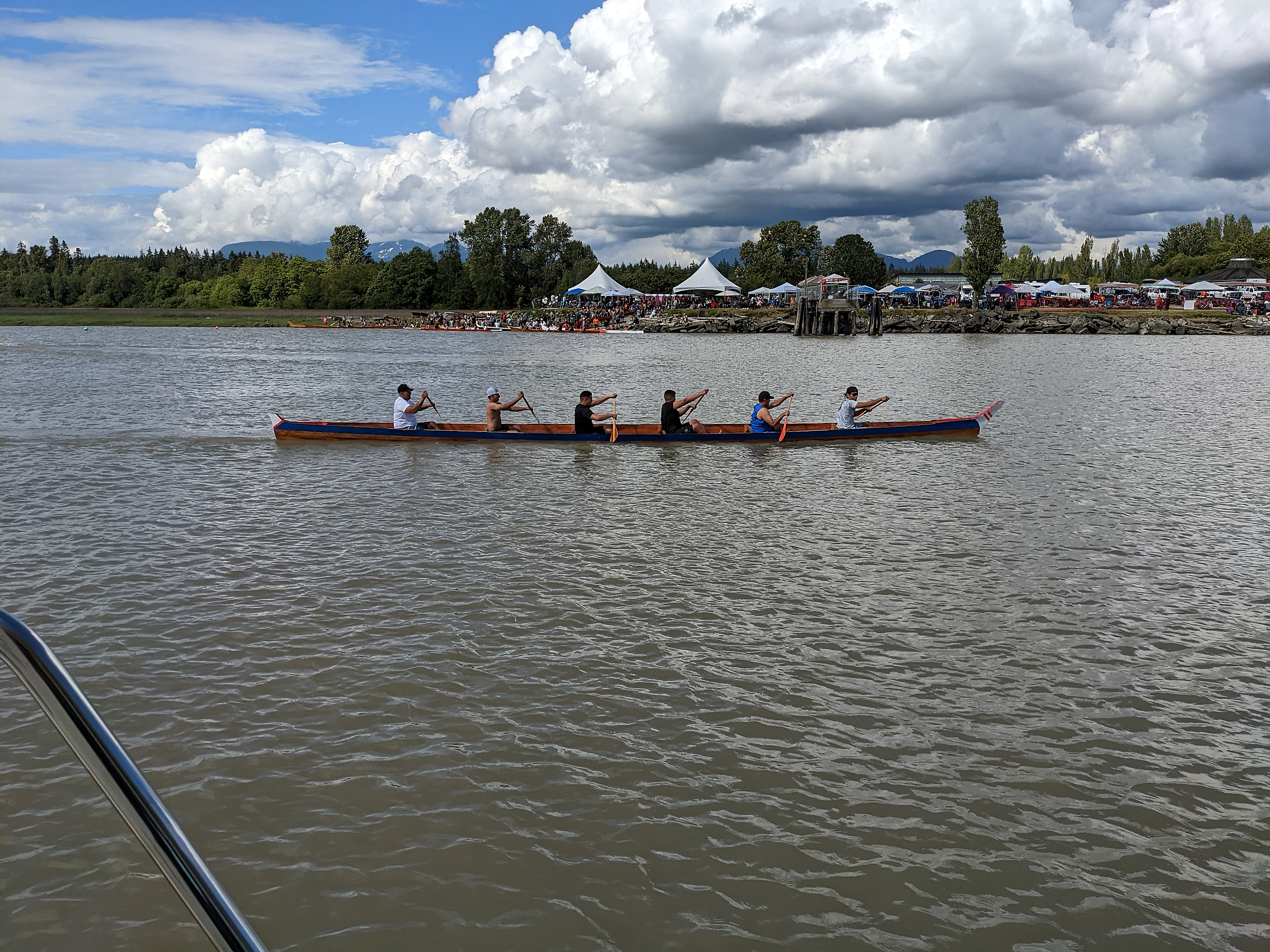
We left Milltown marina on June 11th. Our first adventure was negotiating the Musqueam Band’s canoe regatta on the North Arm of the Fraser.
.
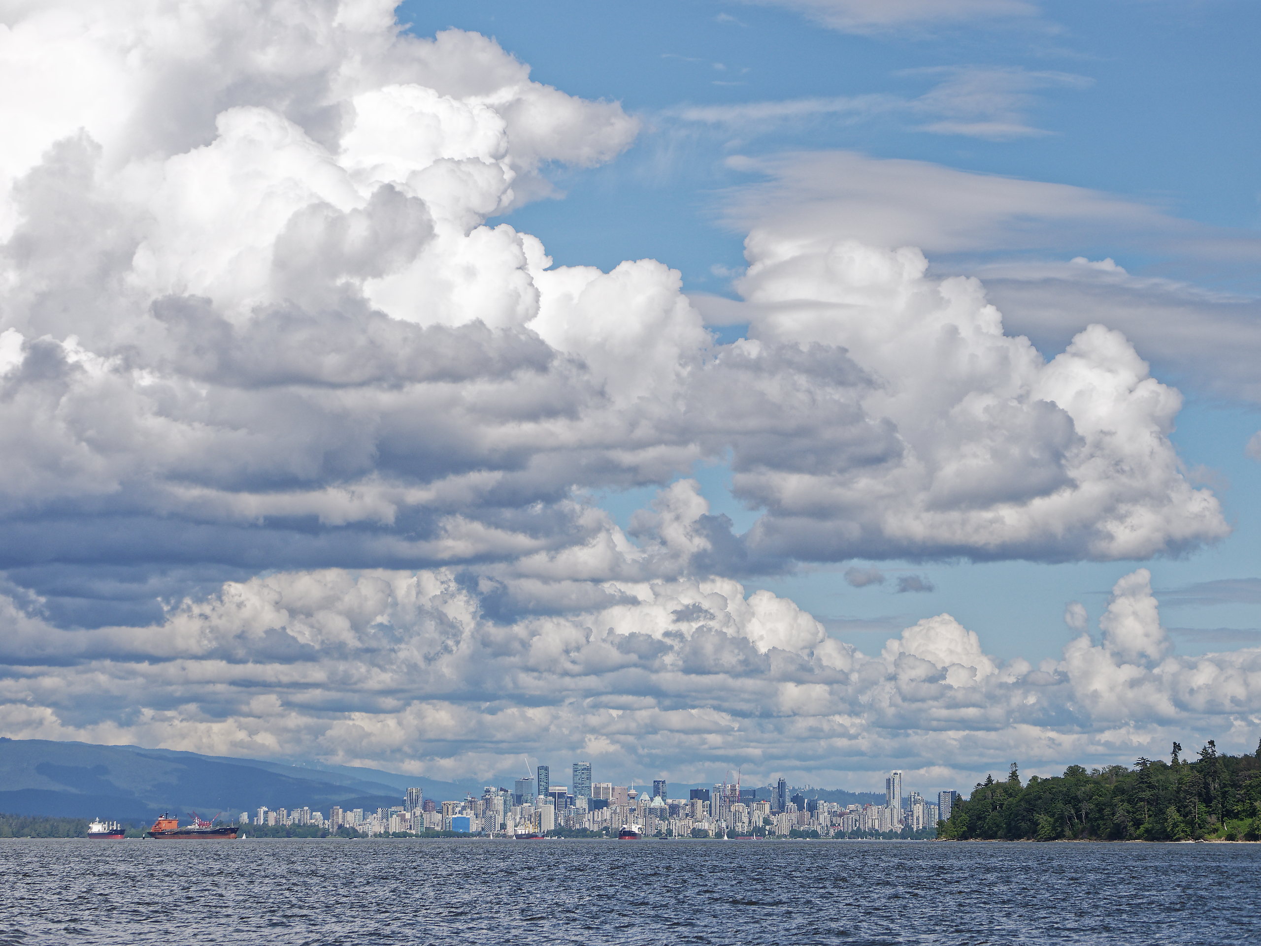
We wave good-bye to the city as we pass Point Grey.
.
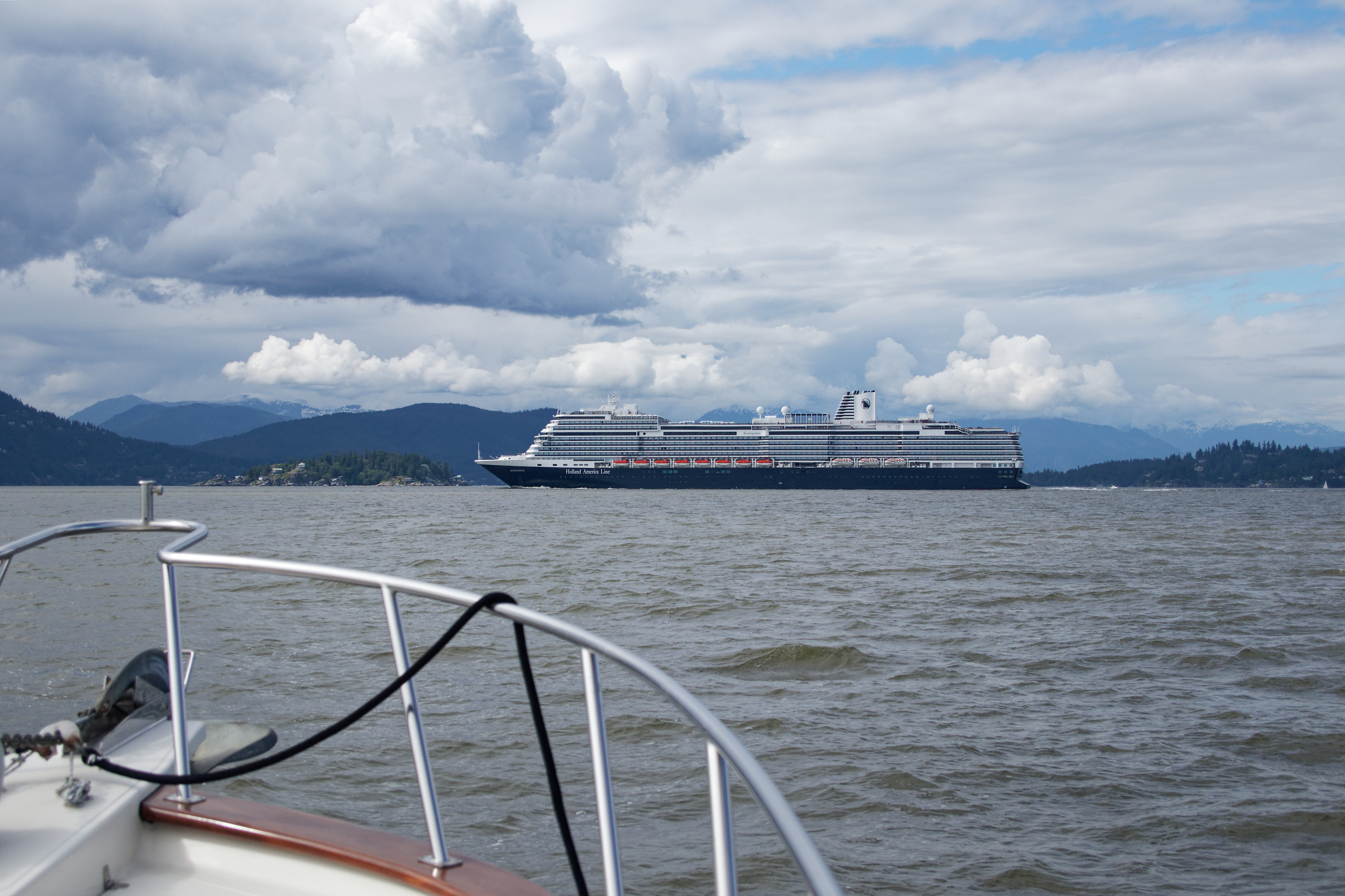
Our first cruise ship encounter near Point Atkinson.
.
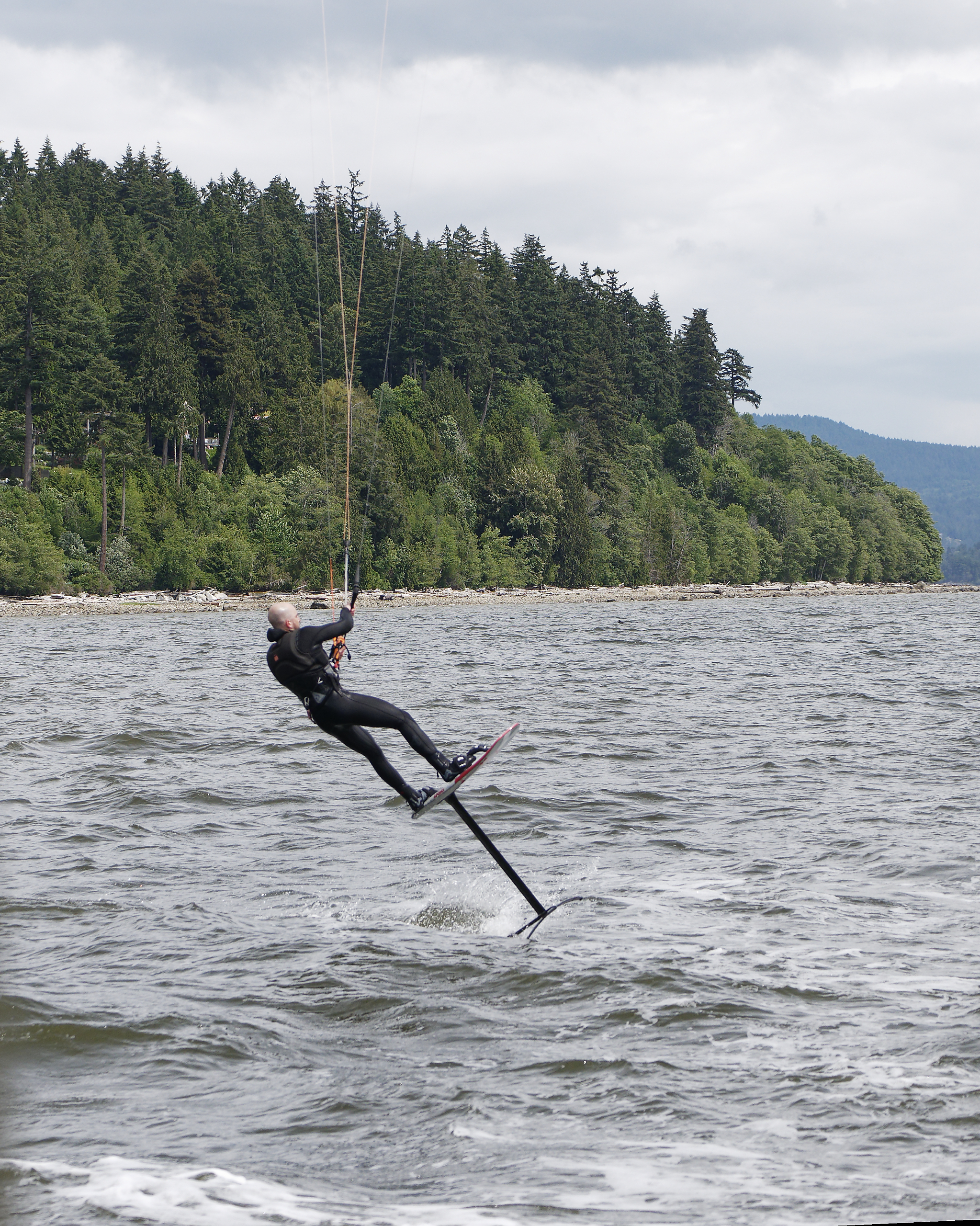
Along the Sunshine Coast this kiteboarder on hydrofoils blasts by to give us a thrill.
.

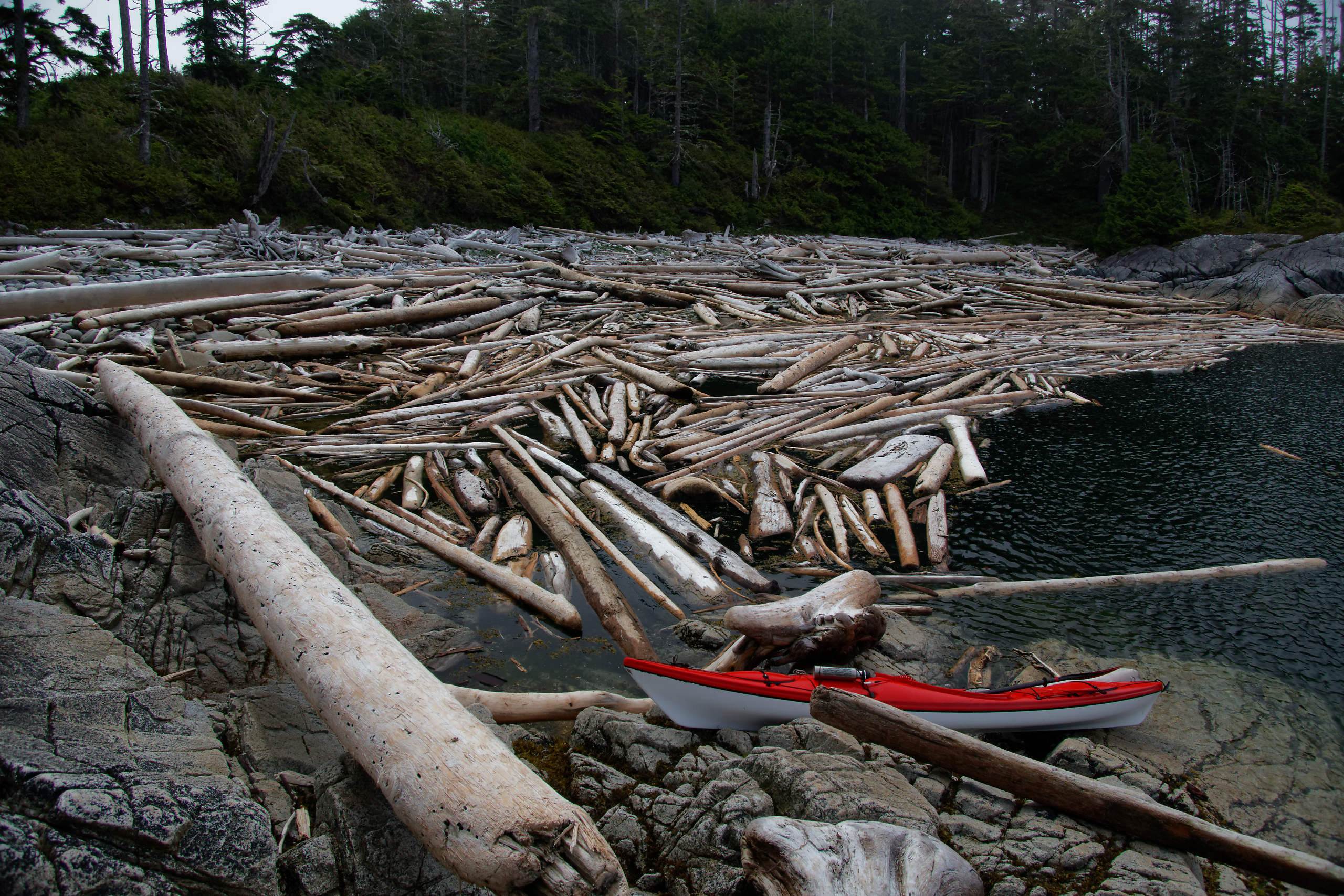
A stop at Jedediah Island. Jan is trudging across the tidal flat toward the old homestead house.
.
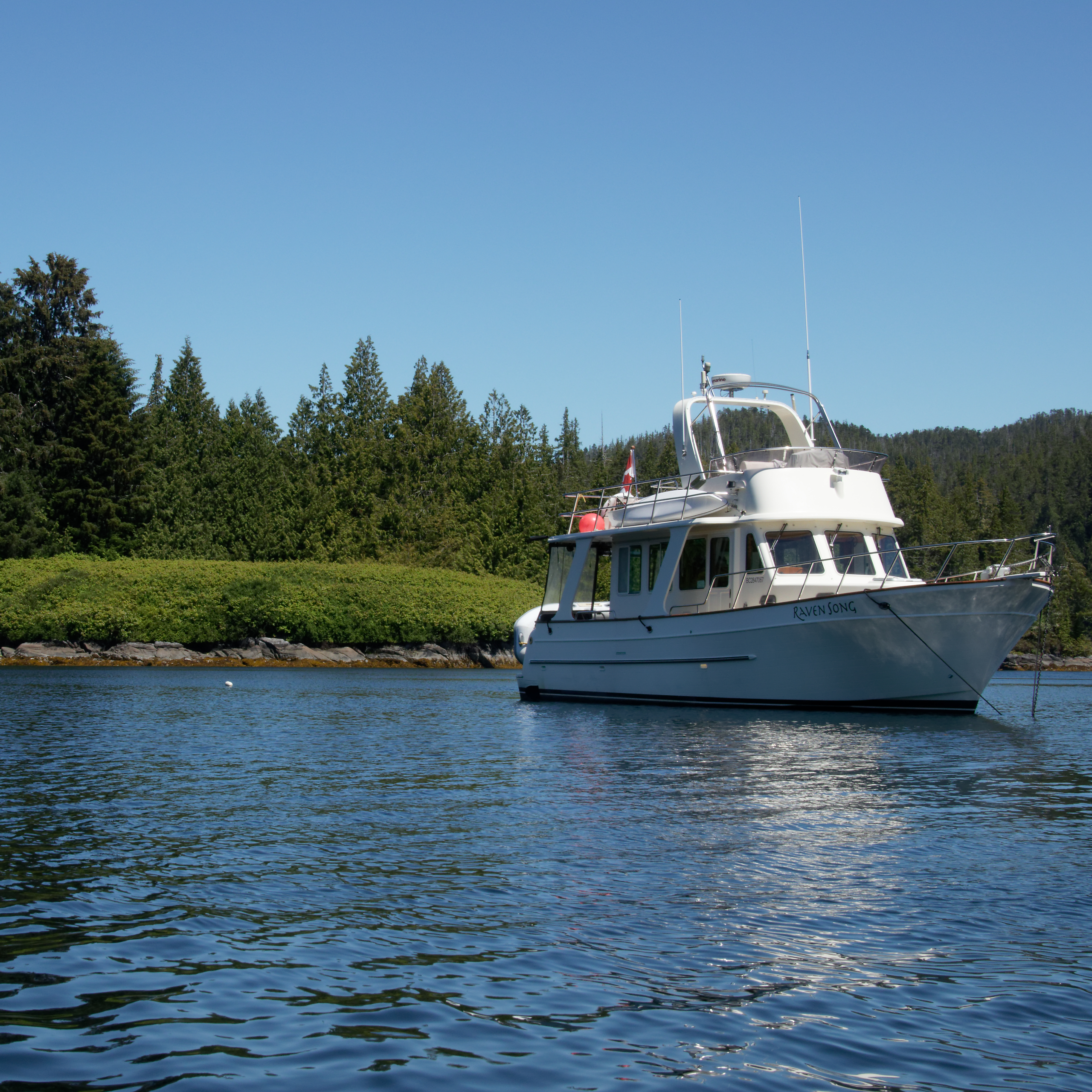
Raven Song anchored in a small cove at Jedediah island.
.


An overnight stop at Lund, where we can stock up on bread and sweet treats at Nancy’s Bakery.
.
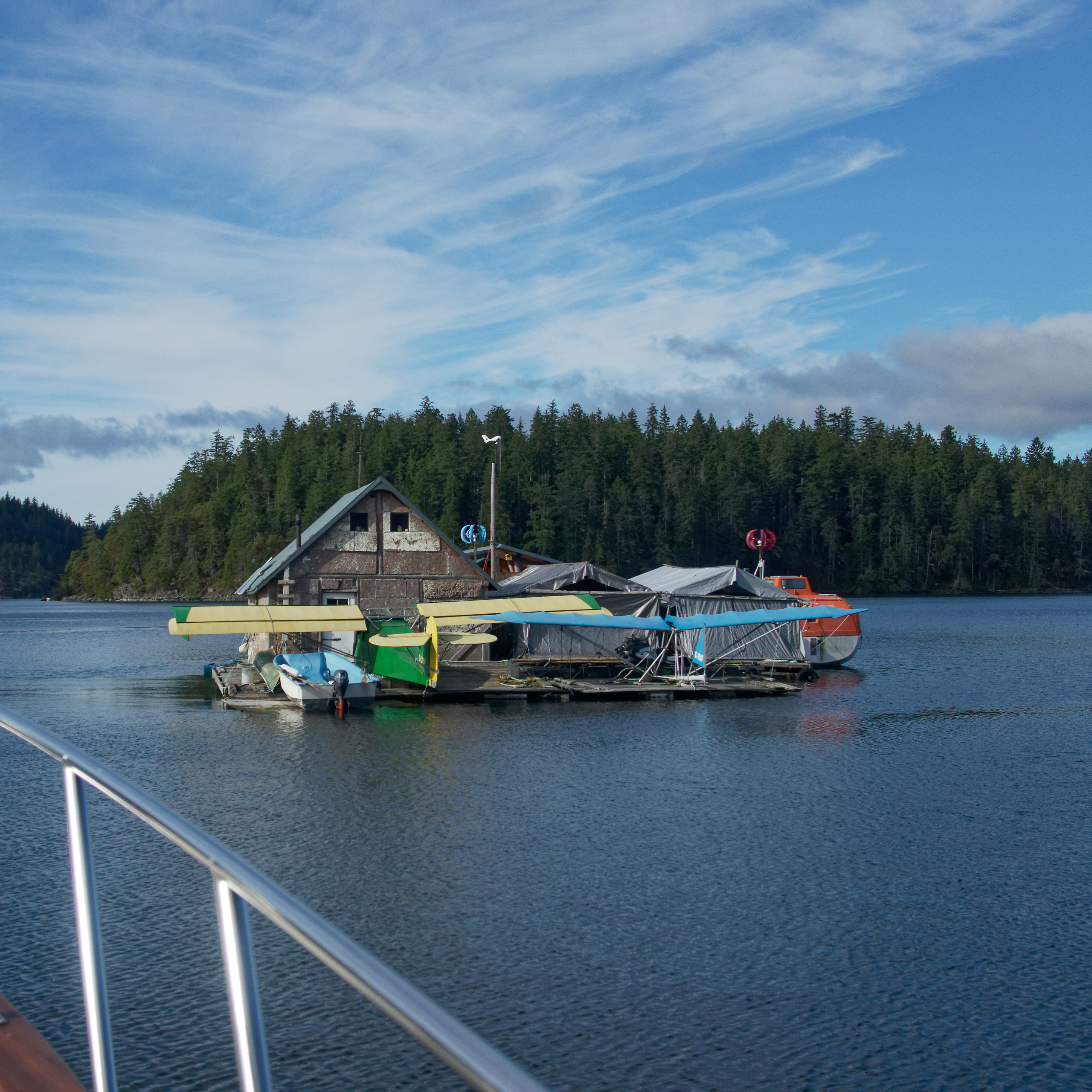

A floating community, complete with aircraft in Gorge Harbour, Cortes Island. And a bucket of clams for dinner that night.
.
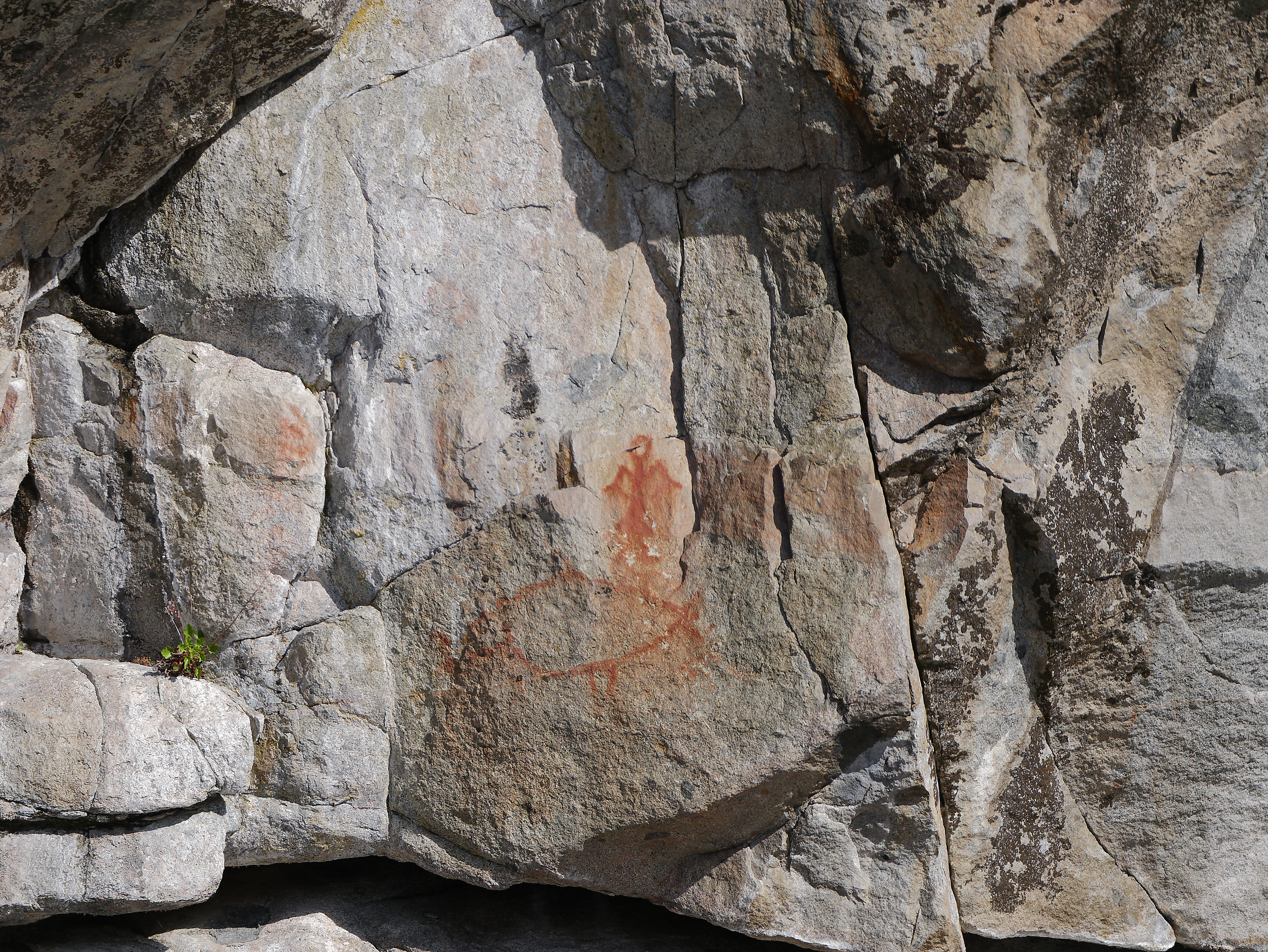
Just some of the collection of pictographs in the narrow entrance to Gorge Harbour.
.
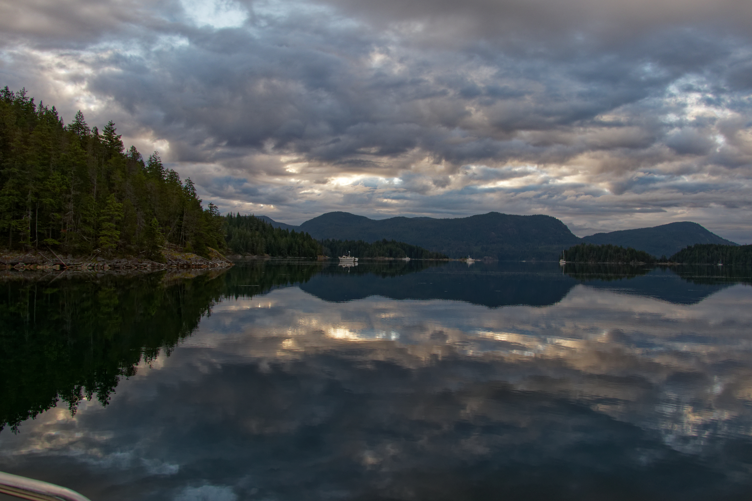
Early morning light at Waiatt Bay near the Octopus Islands.
.
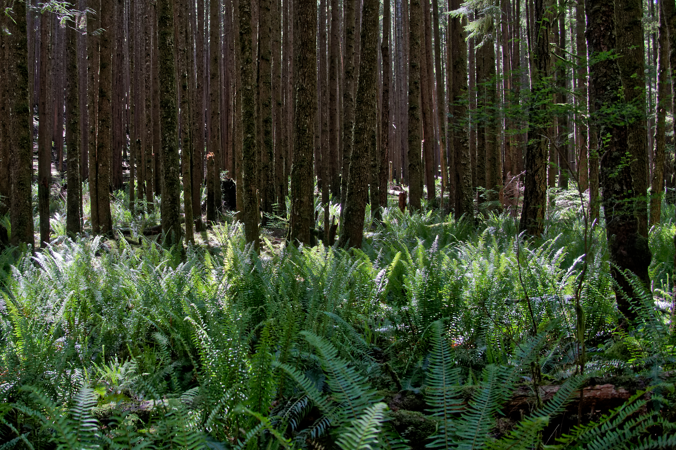
Ferns and second growth forest on the trail between Waiatt Bay and Small Inlet on north Quadra Island.
.
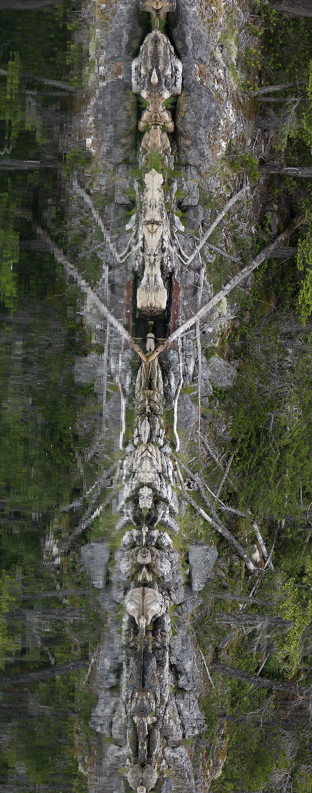
Tall rock totem spotted in the morning calm at Waiatt Bay.
.
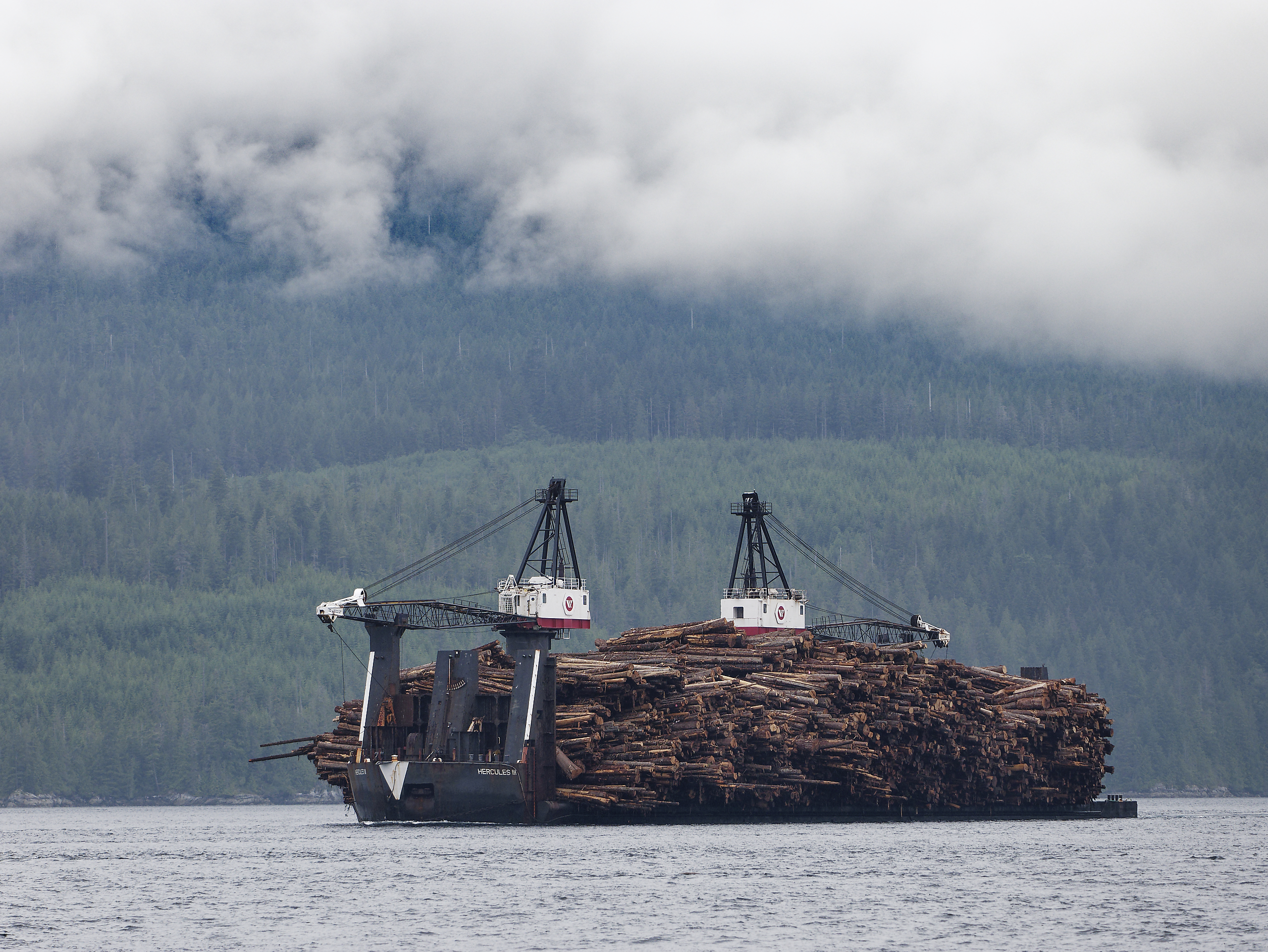
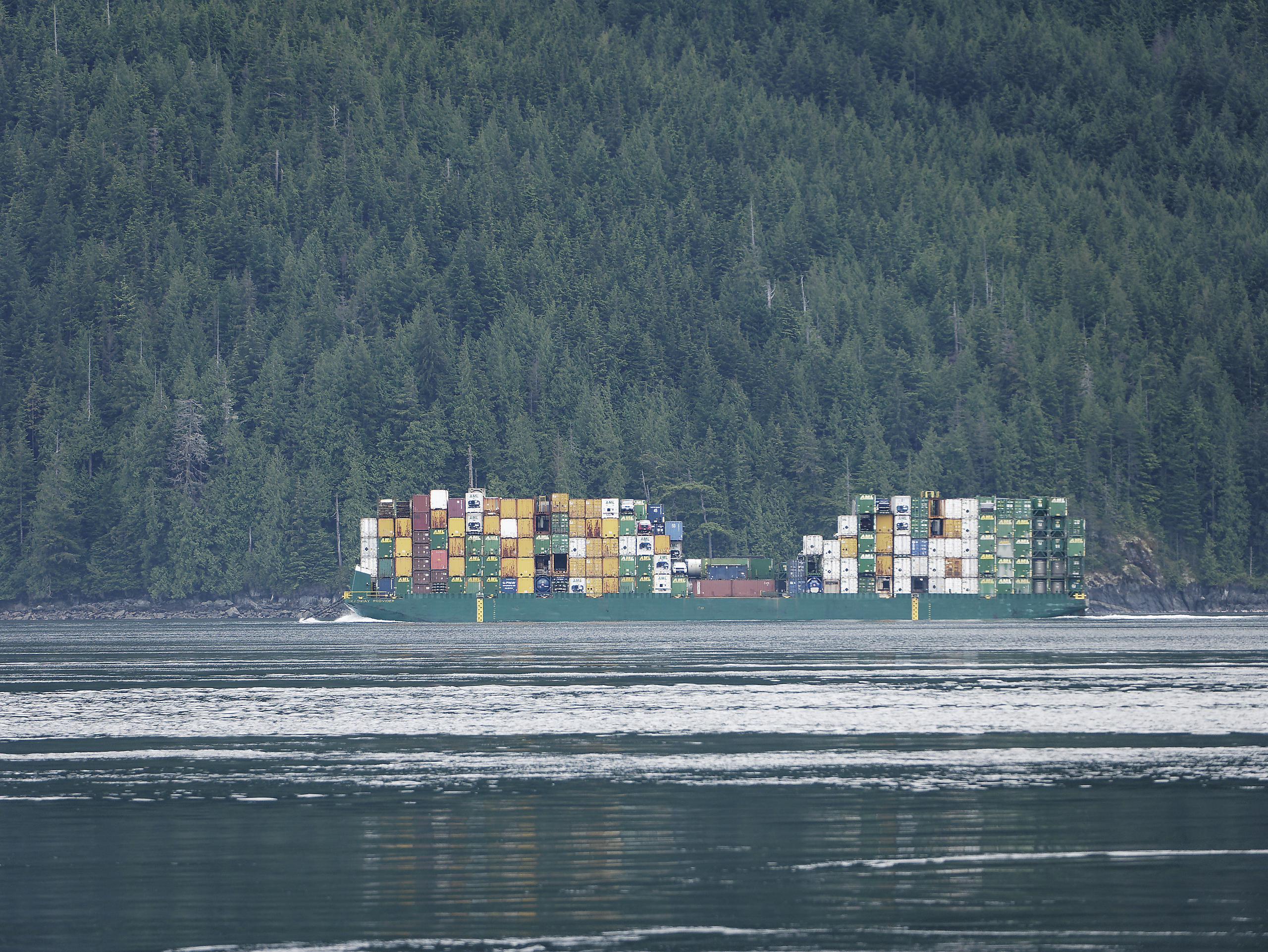
Large traffic in Johnstone Strait – a log barge heading south for processing, and a container barge returning from a supply run to Alaska.
.
Not enough impact, let’s try that again:
Here’s the log barge, travelling from some anonymous place in the central coast where forests are being razed unseen by delicate urban eyes, down to ‘civilization’ so that the logs can be converted from an entire ecosystem into more useful stuff, like 2×4’s and particle board.
.
The container barge heading south from Alaska. This is how Alaskan’s get most of their stuff – container barges getting towed up and down the Inside Passage.
.
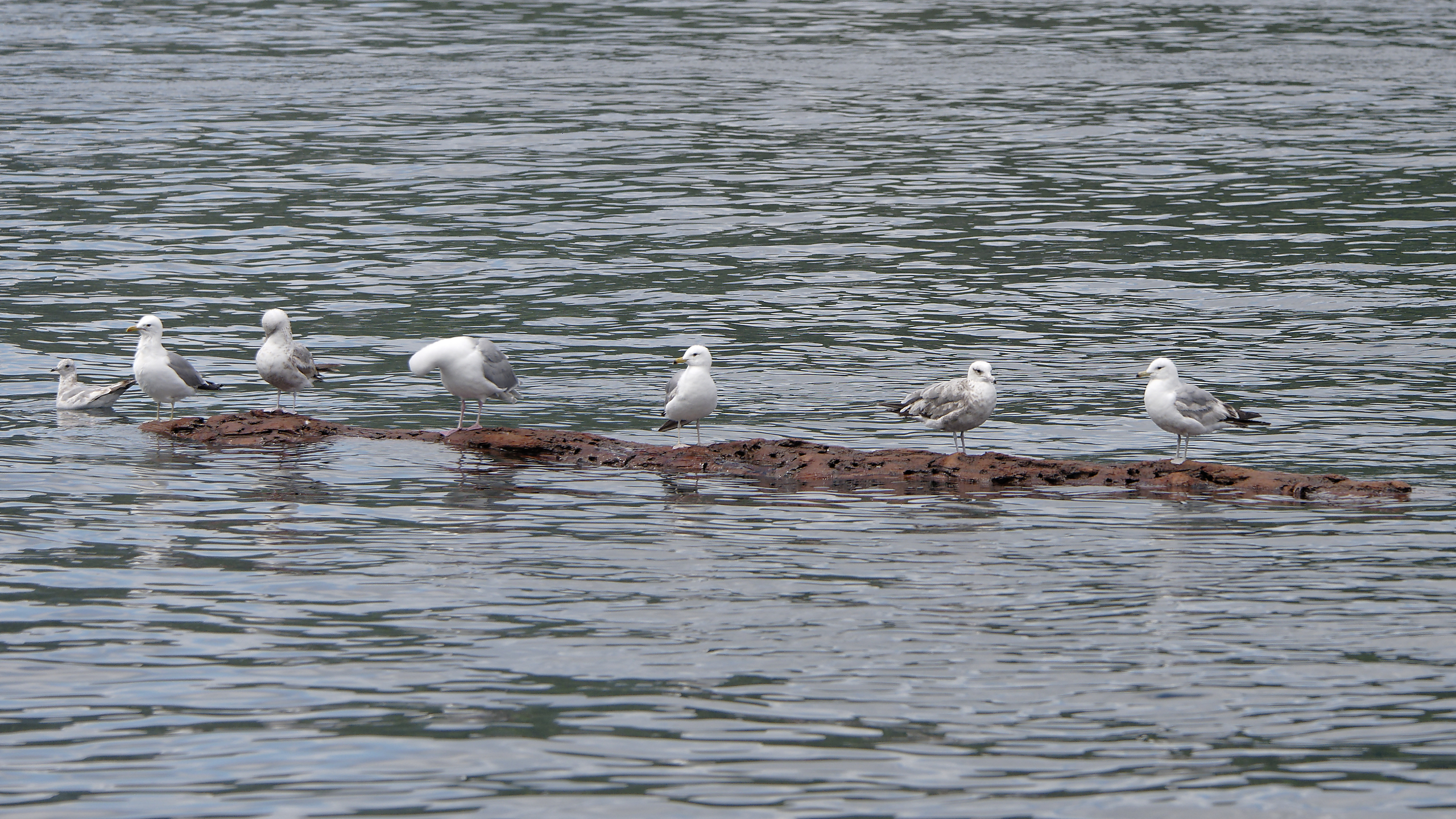
The seagulls enjoy a free ride in Johnstone Strait when they can get one.
.
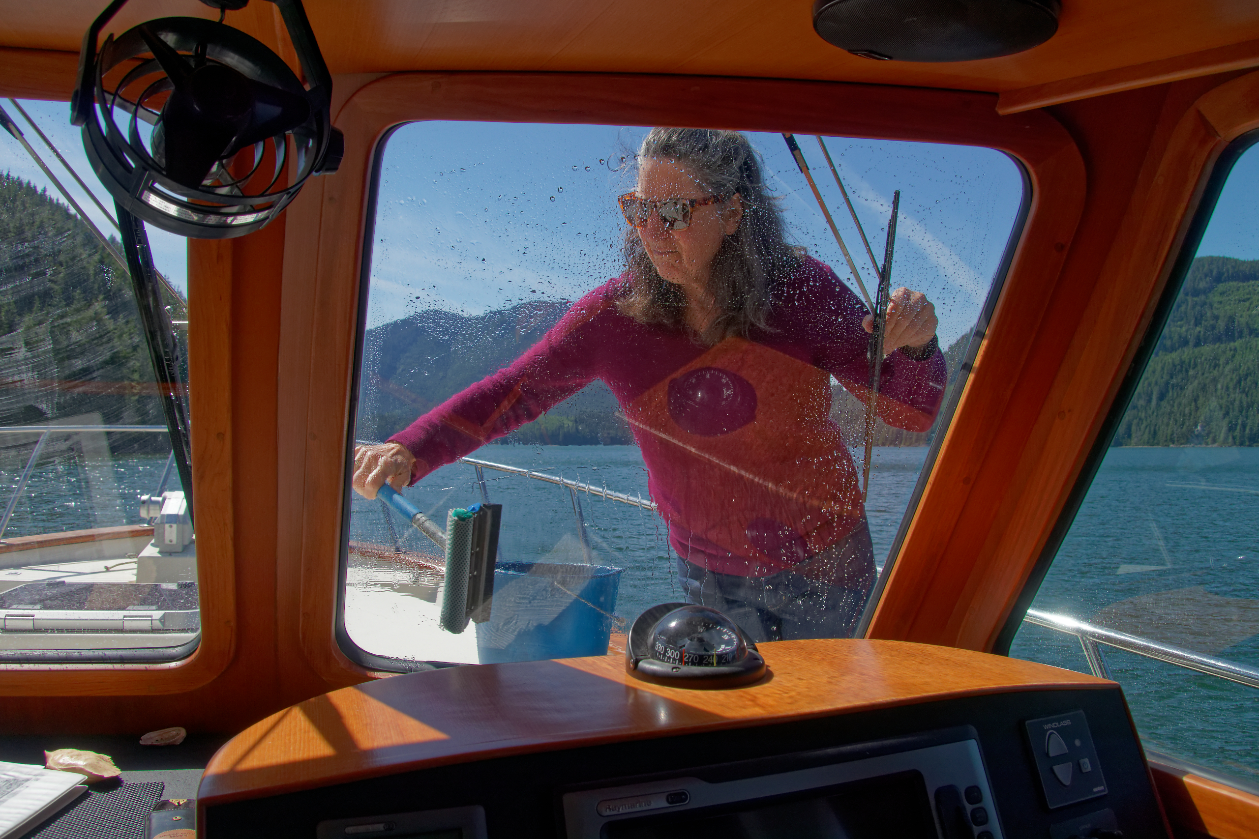
A sunny day demands cleaner windows!
.
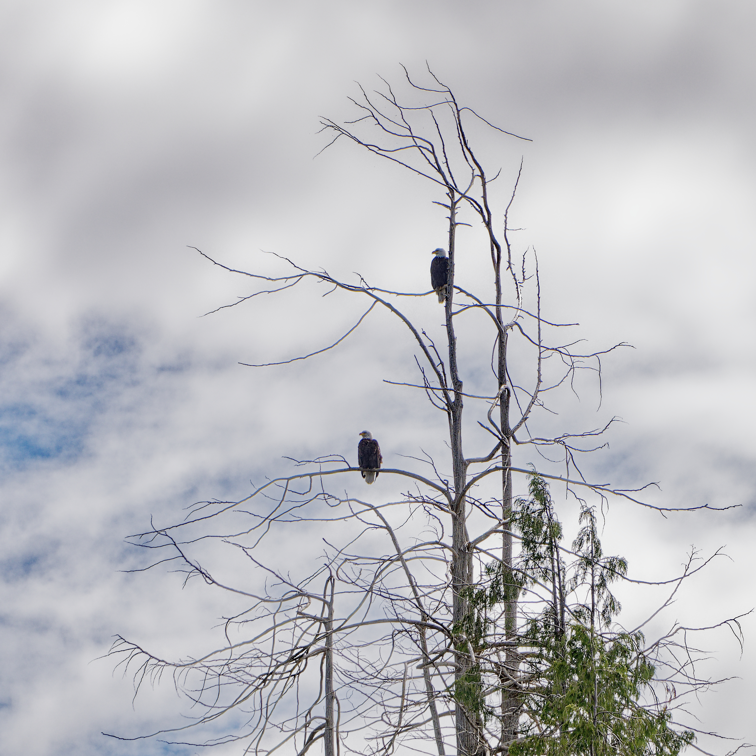
Turning off Johnstone Strait, two eagles on the lookout in Havannah Channel.
.

Our first large wildlife sighting – a young buck on the shore of Cracroft Passage.
.

The ruins of Minstrel Island, the end of one of the more colourful chapters in coastal BC history.
.
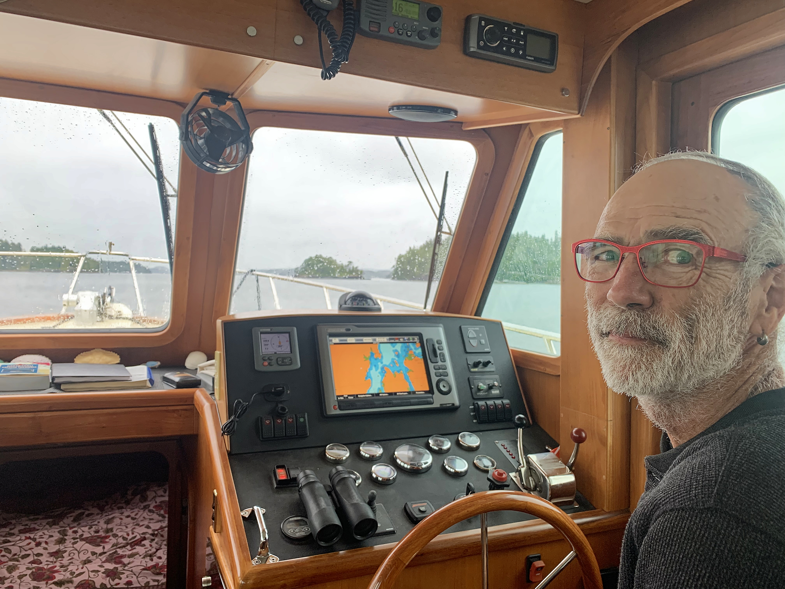
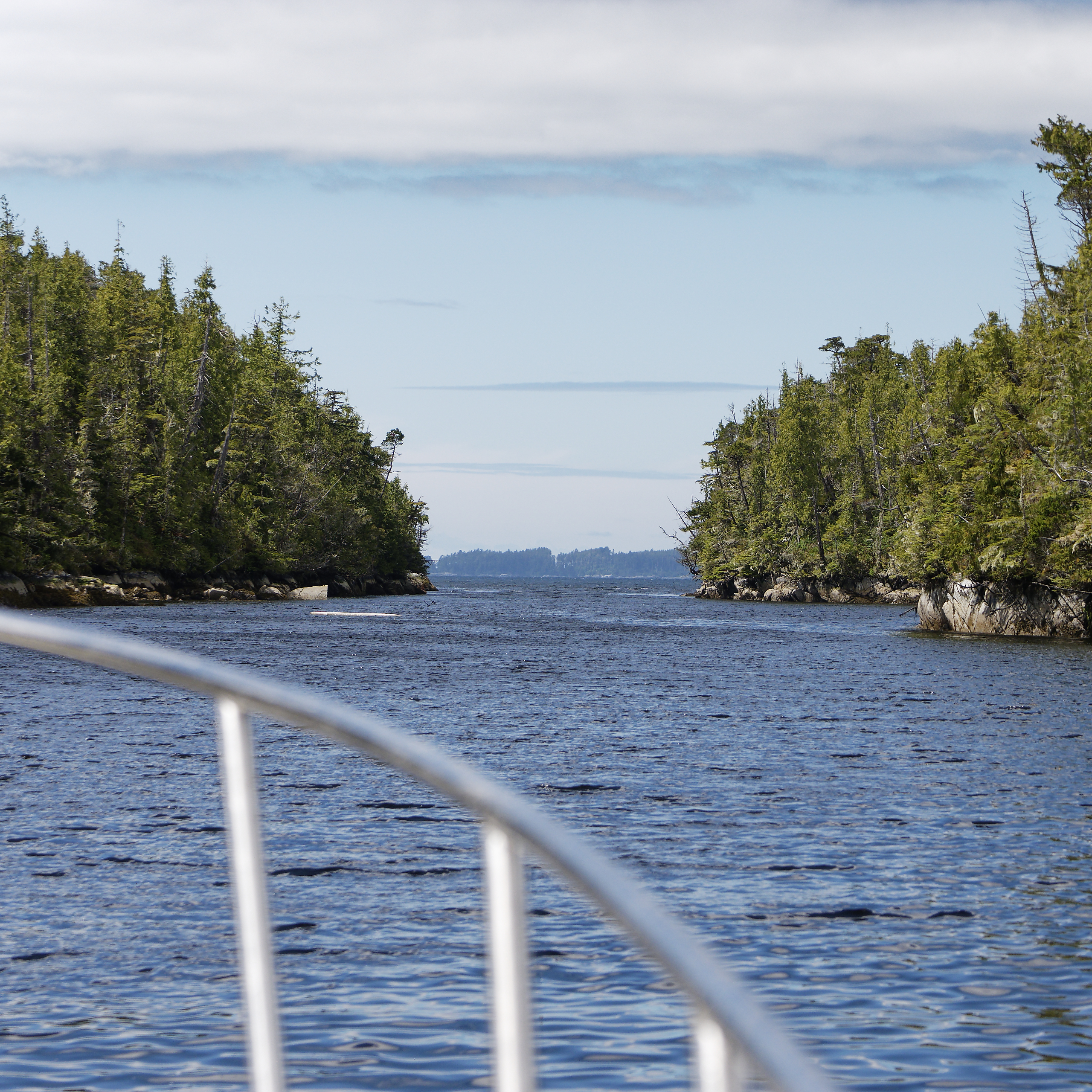
Piloting through the islands.
.
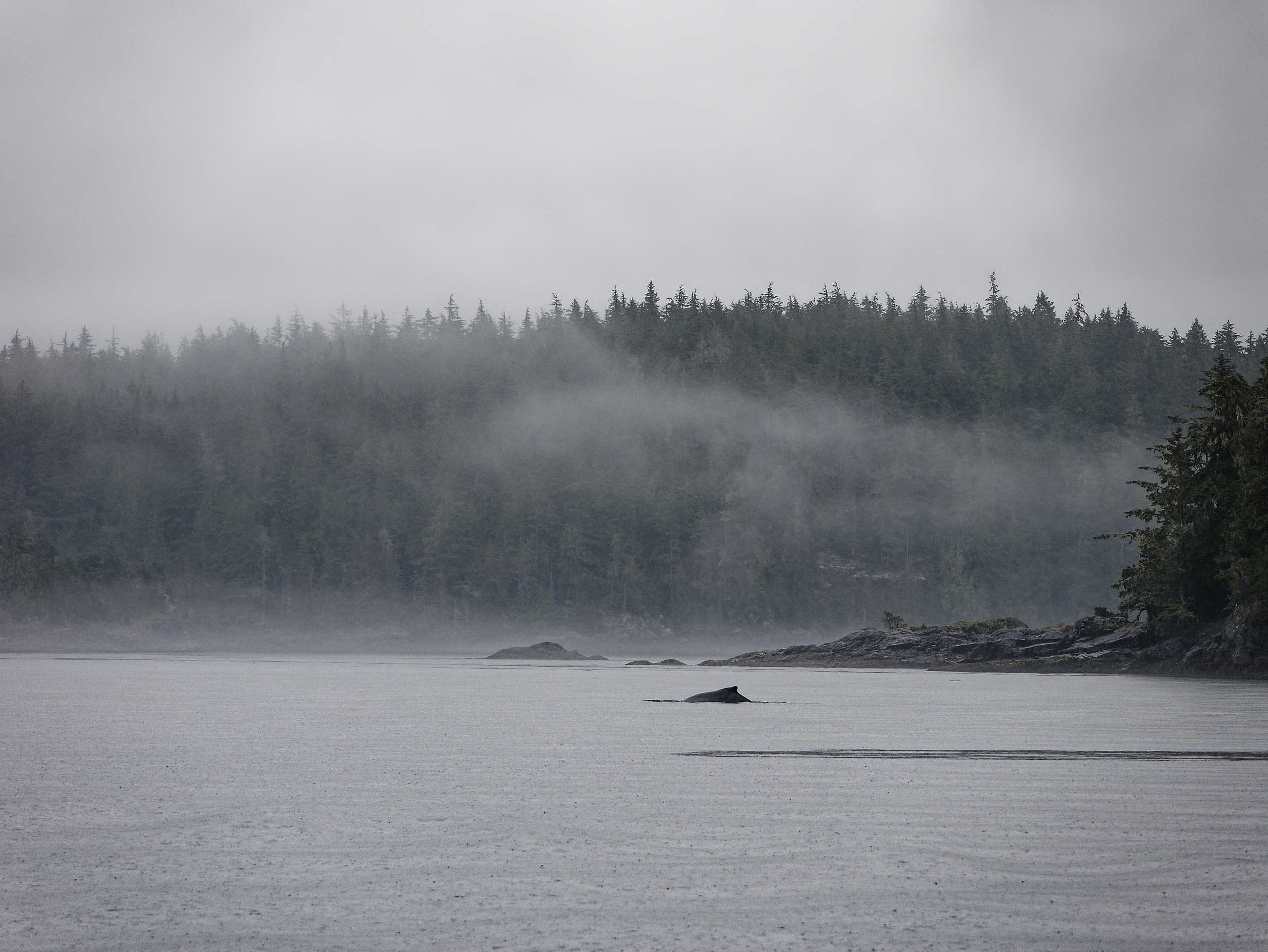
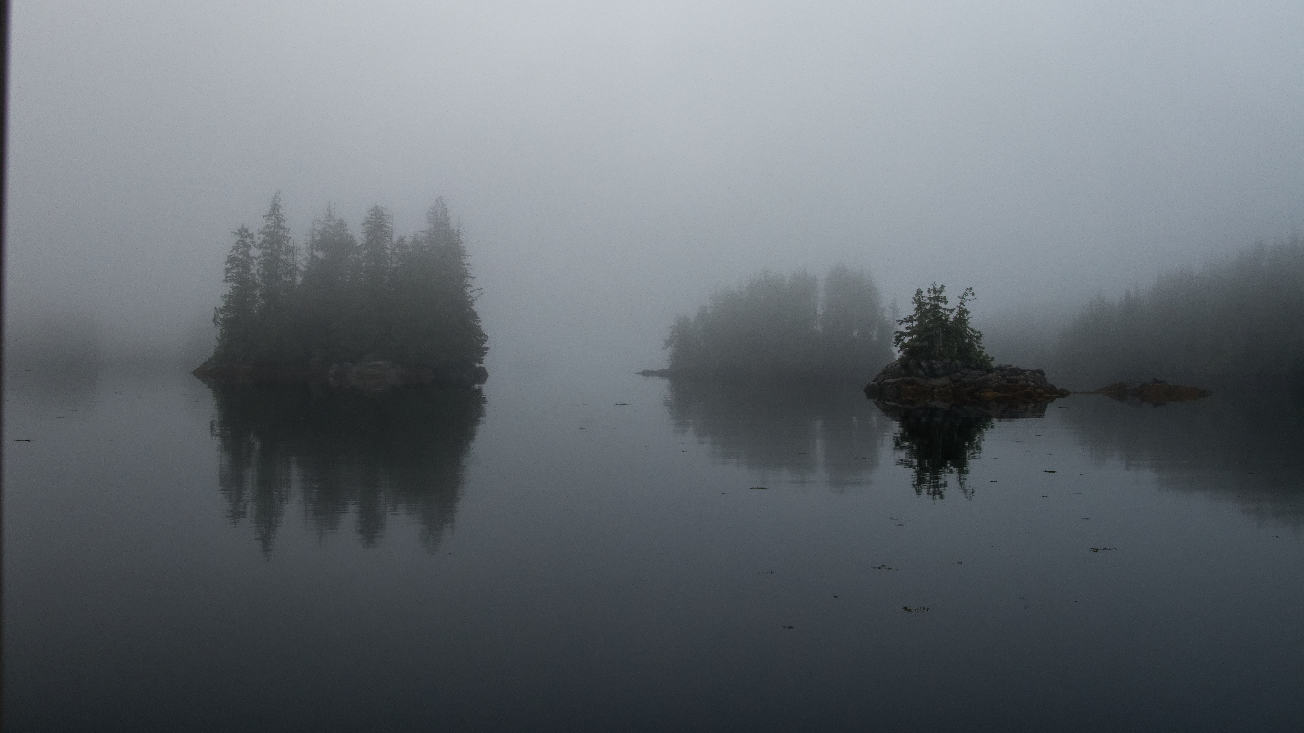
After a couple of days of sun, we get some mist and rain. We spot our first whale – a humpback in Blackfish Sound.
.
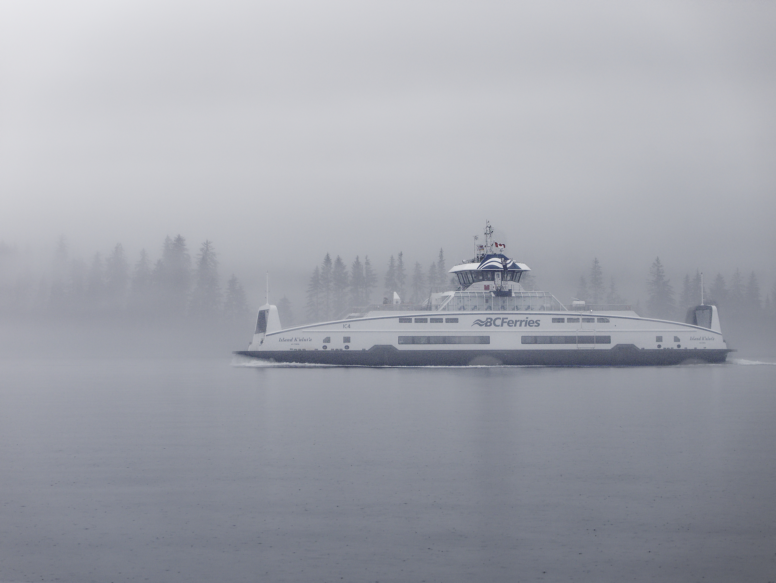
The new ferry serving Port McNeill, Alert Bay and Sointula.
.

We have a crab lunch at the dock in Alert Bay.
.

New and old memorials in the Alert Bay graveyard.
.
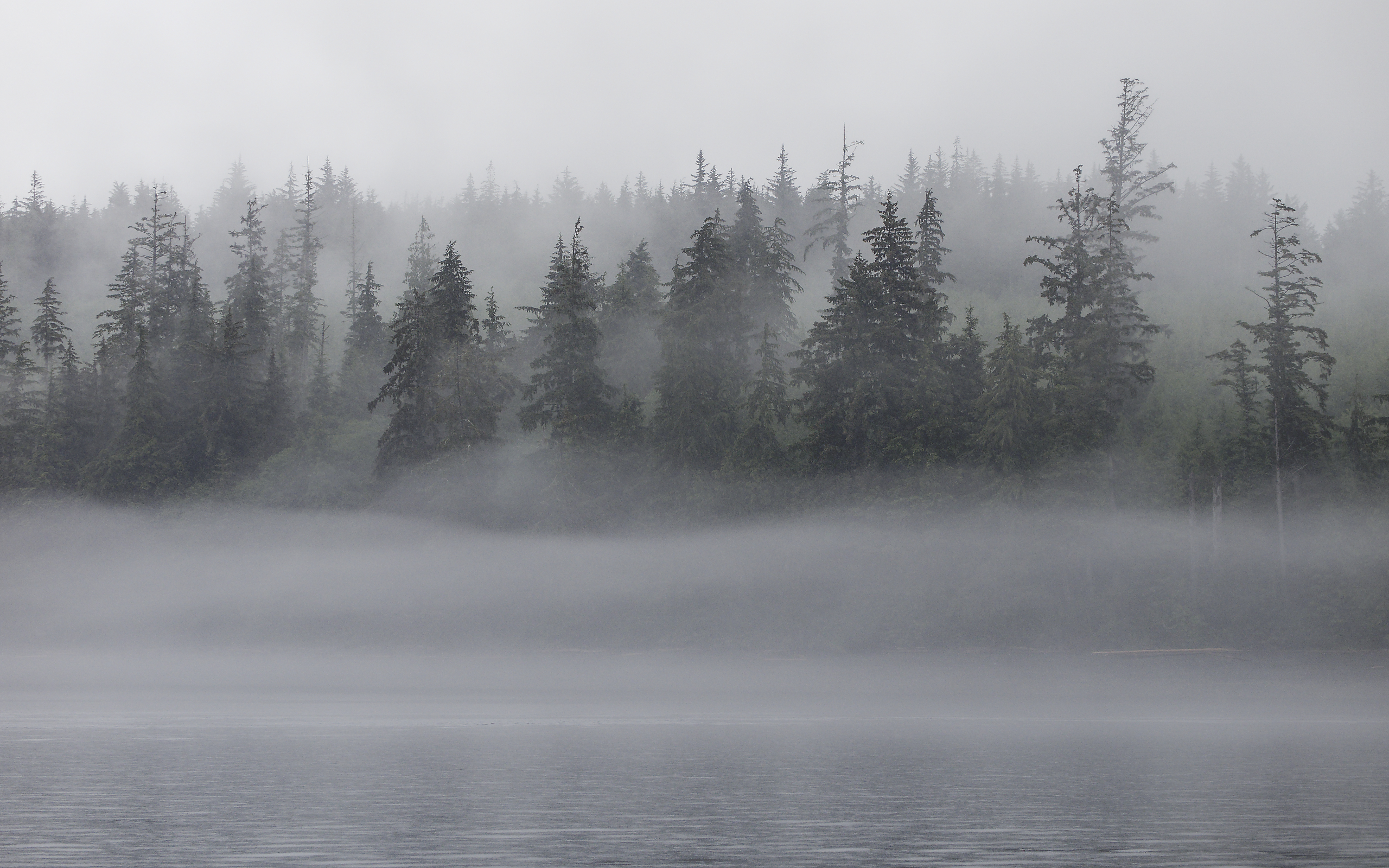
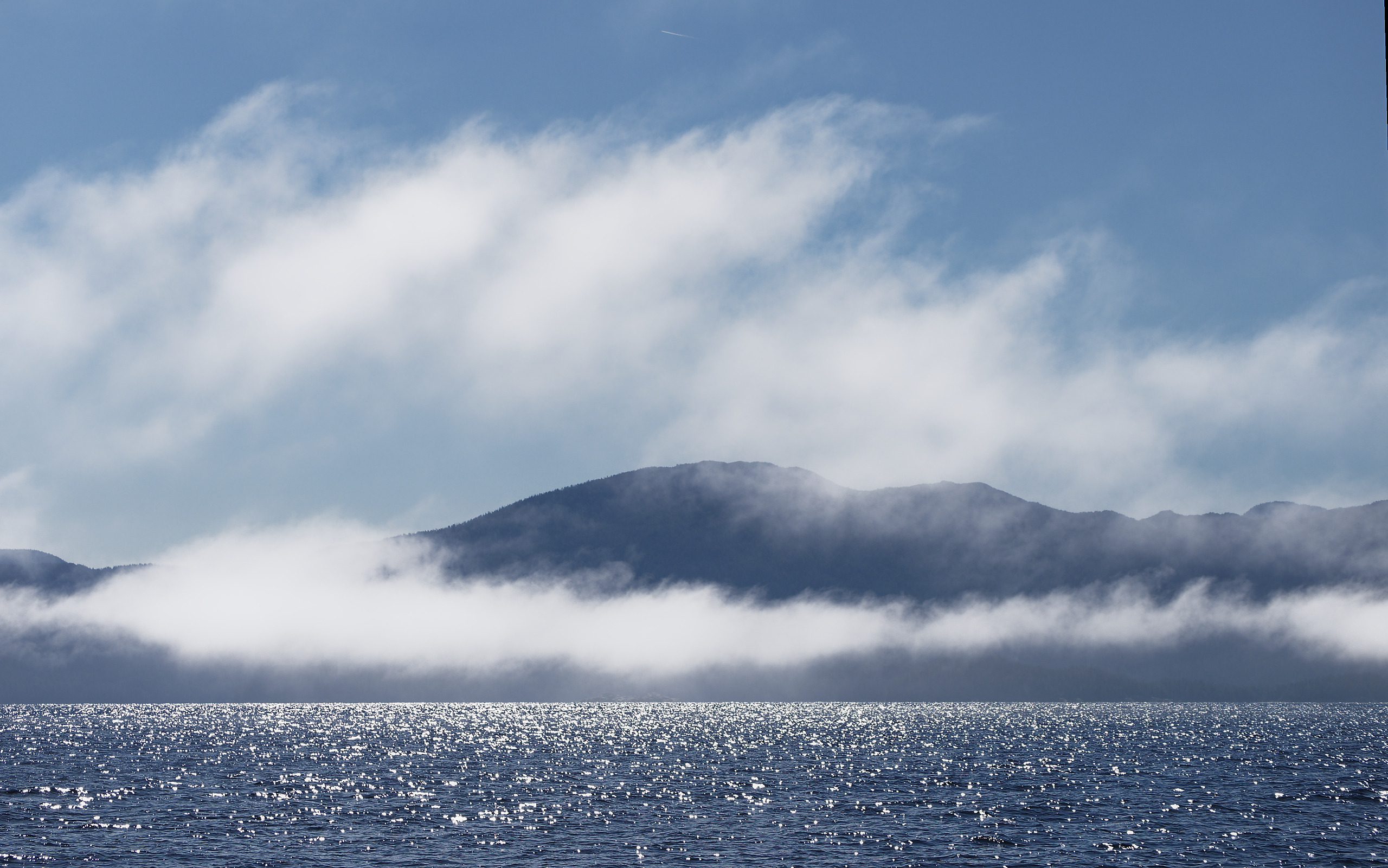
Misty shoreline approaching Port McNeill.
.
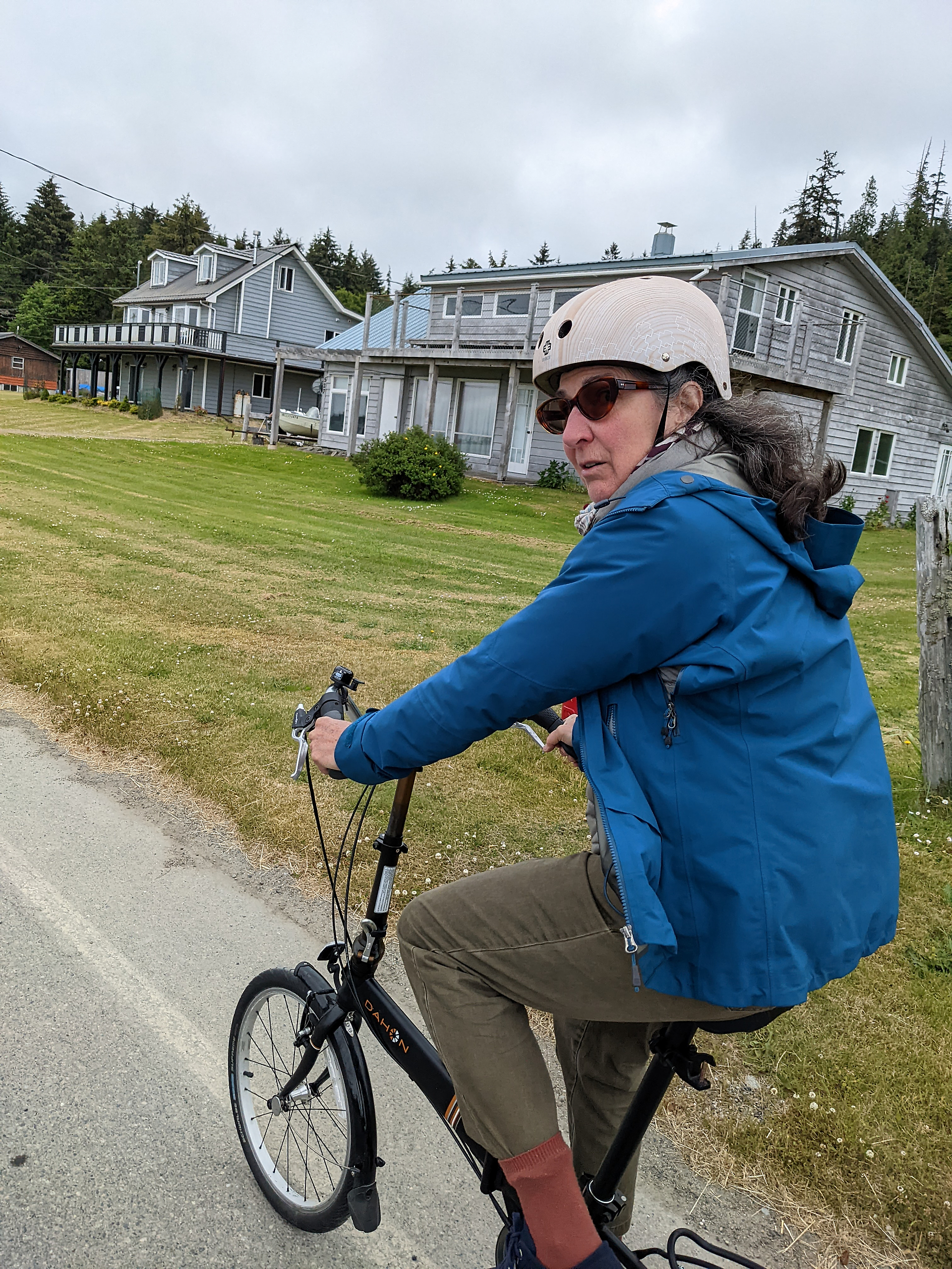
The weather dries up the next day. Jan takes a taxi to the Port Hardy airport to return home for the Panorama Place AGM – she’s a dedicated woman! Meanwhile, as Jan has already done the grocery shopping for me, I will cast off and take the boat up to Bella Bella on my own.
.
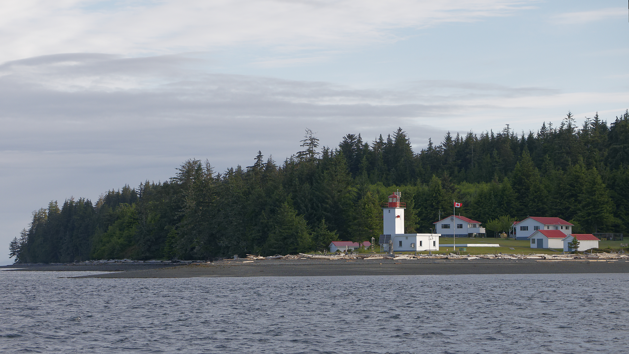
Passing the Pulteney Point lighthouse at the west end of Malcolm Island just north of Port McNeill. I am on my way across Queen Charlotte Strait to Miles Inlet on the north side.
.

Two views looking out the entrance of Miles Inlet. On the left is just after I arrived. The wind had come up in the Strait but Miles inlet is calm. On the right, the next morning, it’s even calmer! A good day to head north around Cape Caution.
.

Once out in the Strait, the nice calm morning turned into a foggy morning. I cruised for hours through the ocean swells, and the fog persisted all the way around Cape Caution.
.
Finally, the fog started to break up and it turned into a beautiful sunny afternoon.
.

I anchored in beautiful Green Island anchorage, just off Fitz-Hugh sound. The brilliant green patch on the island is a midden from a former Native village site. I climbed onto the midden, which turned out to be densely covered with thimbleberry bushes.
.
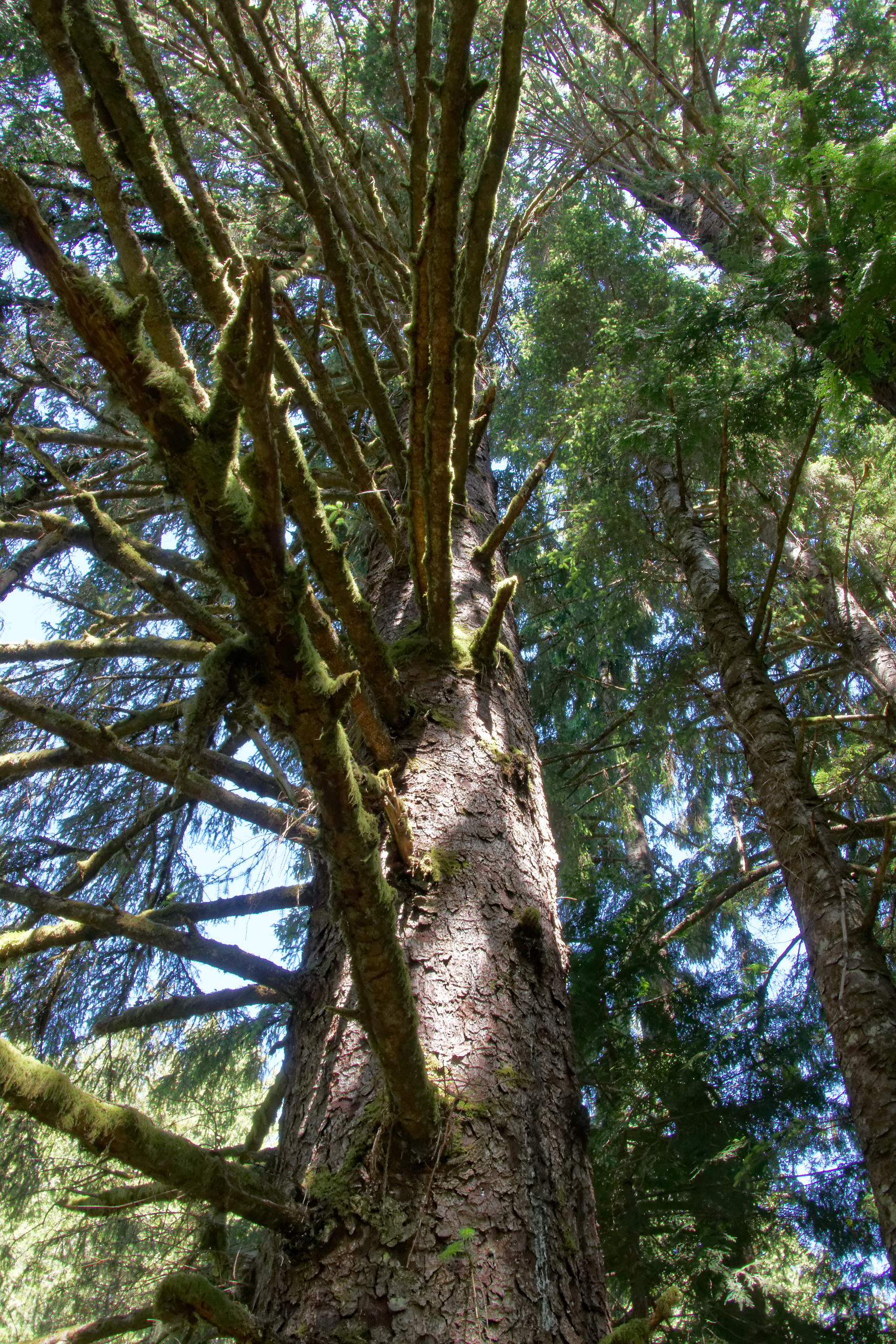
One of the massive spruce trees found frequently along the coast near the shore.
.
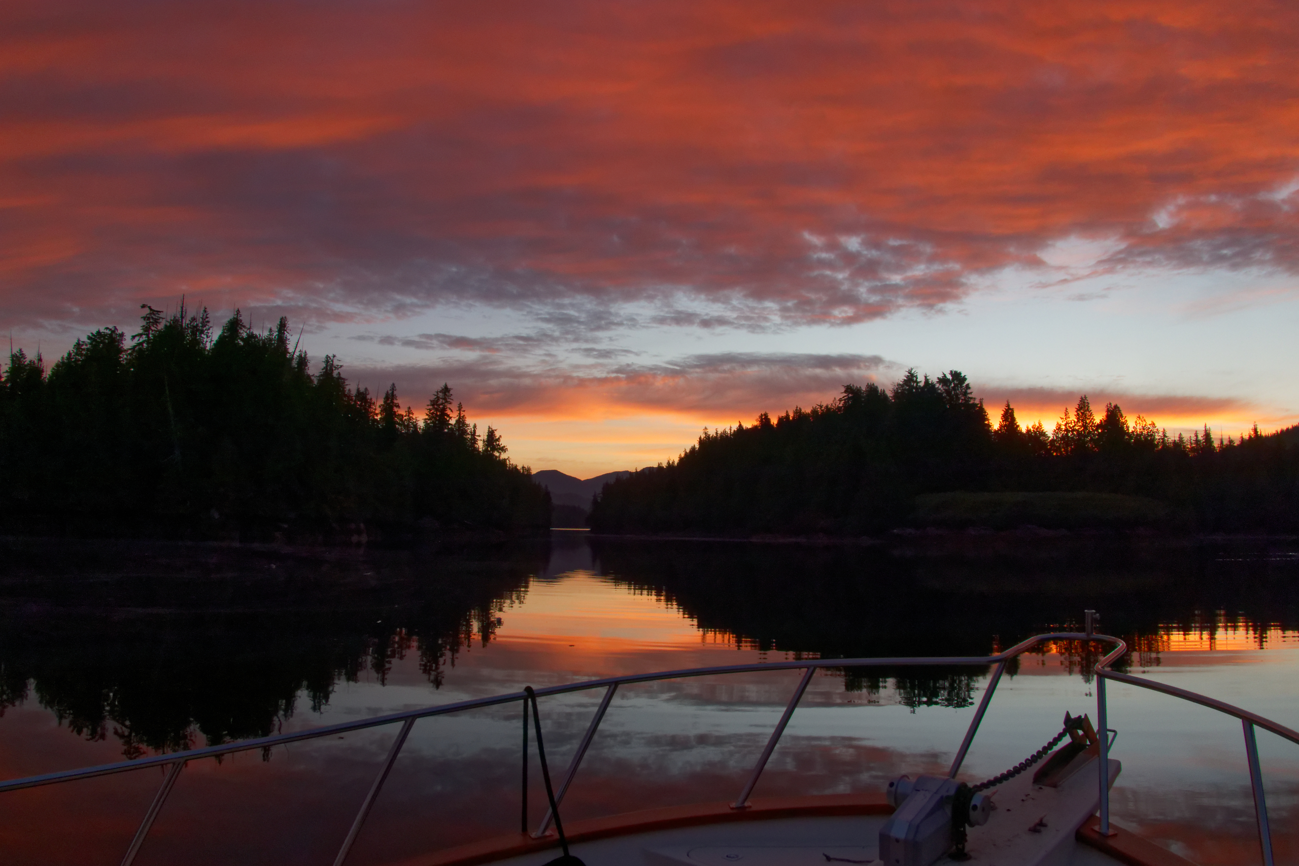
Rising at 5 am often yields a beautiful sunrise.
.

A massive rock totem showed up later in the morning.
.

A humpback whale forages along the shoreline in Fitz-Hugh sound.
.
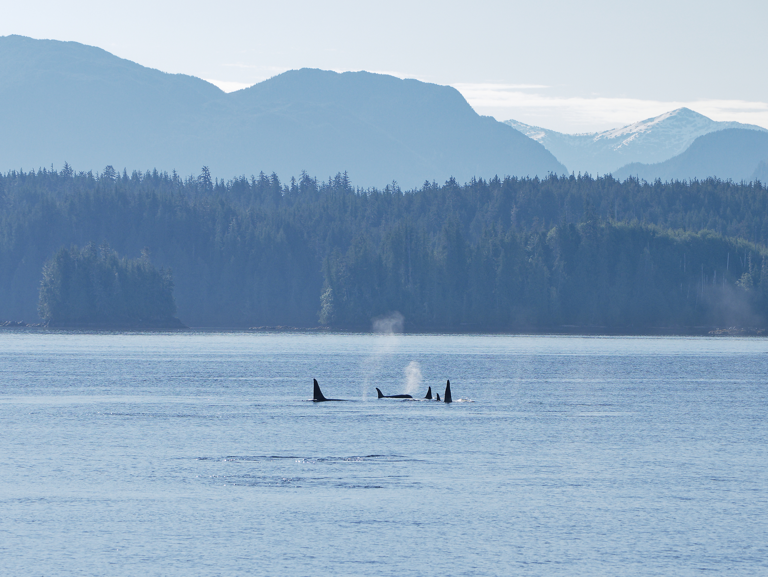
Nearby, a pod of Orcas travel down the sound.
.

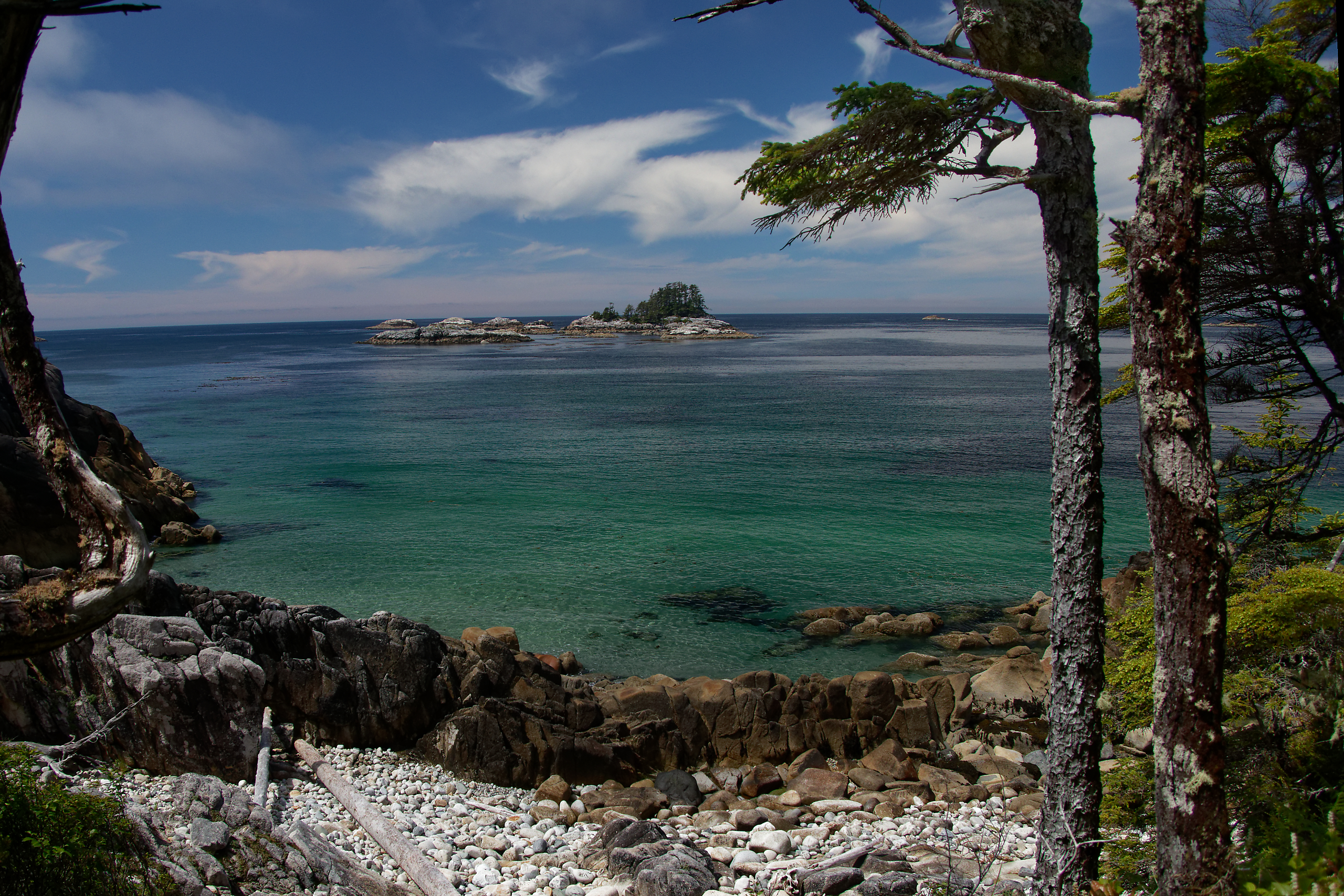
I stopped at the Hakai Institute. Partly so that I could take advantage of their waterfront wifi to let Jan know I was on schedule. And partly so that I could hike to a number of outer coast beaches. We have been to the North beach before – this time I hiked south to 7th beach.
.

West beach. Beautiful, but popular, and chilly in the breeze.
.

.
.
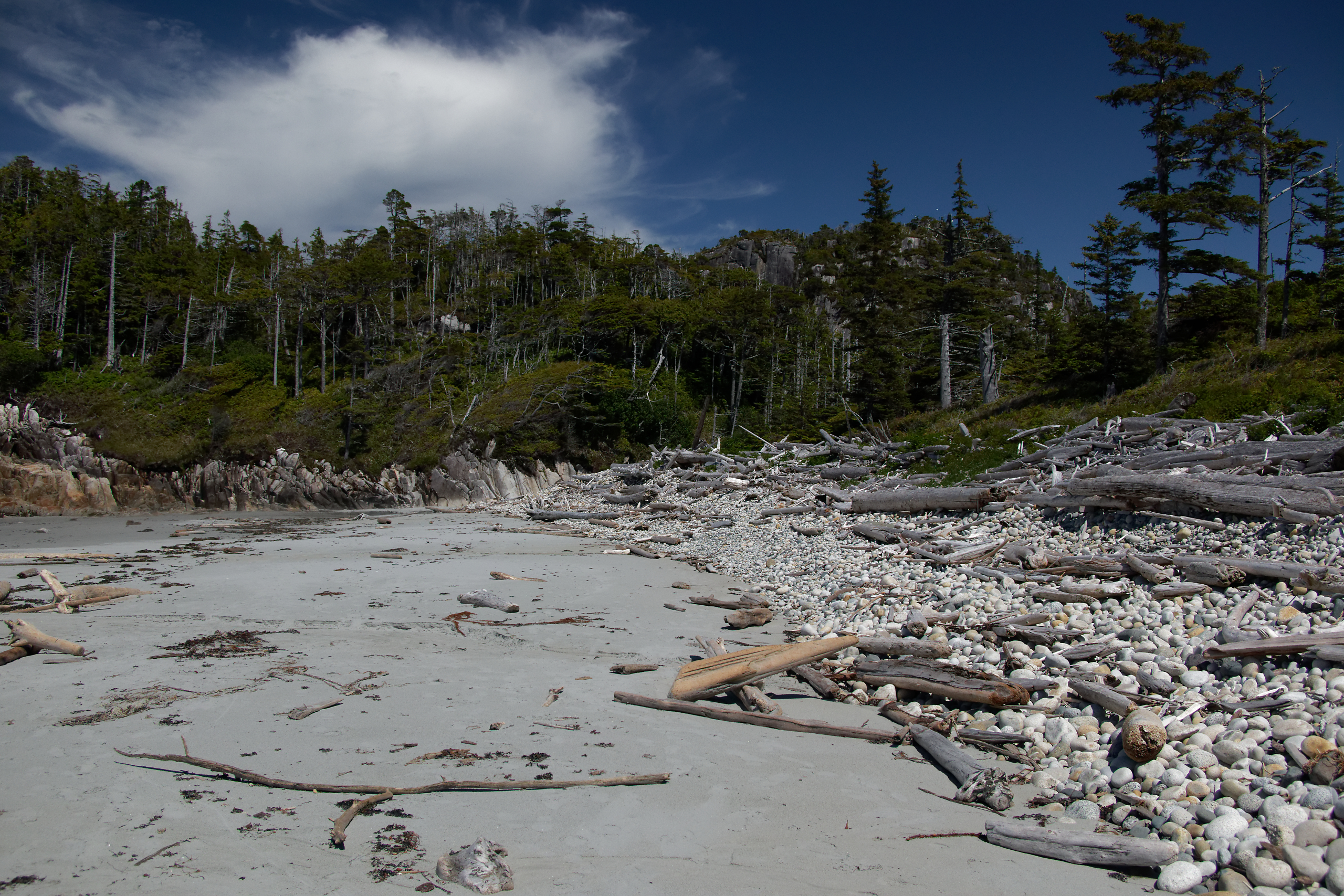
Fourth beach had soft sand transitioning abruptly to boulders and driftwood strewn high up the banks by winter storms.
.

North of the Hakai Institute, I stopped in this archipelago, anchoring just east of the Edna islands, in order to paddle around Typhoon Island.
.
I stopped in the little cove on the west side of Typhoon island. It was a wild beach covered with logs, so many of them they didn’t all fit – half of them were still afloat!
.
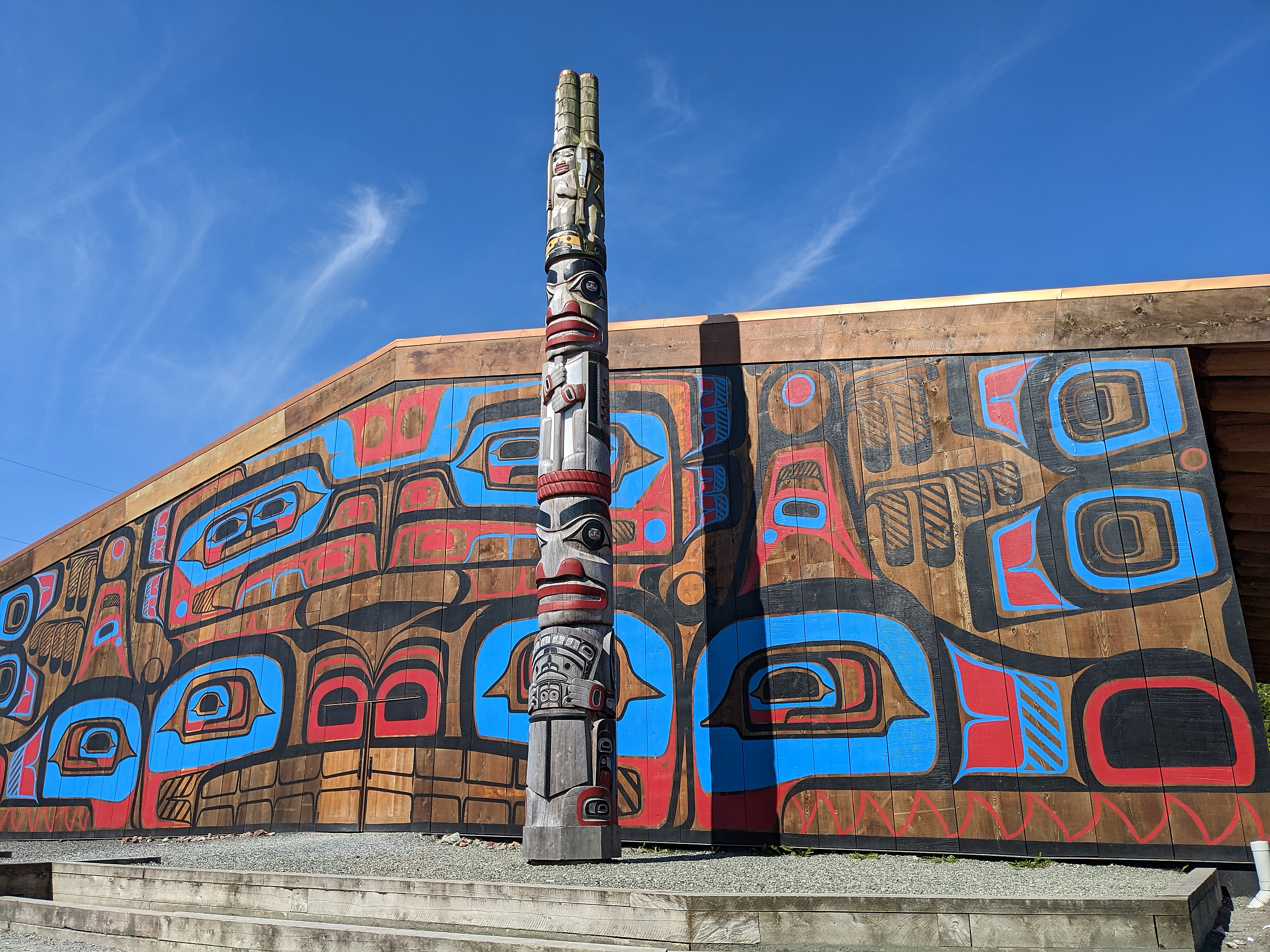
Finally, I arrived at Bella Bella on a warm, sunny day. This is the Band’s recently completed new bighouse.
.

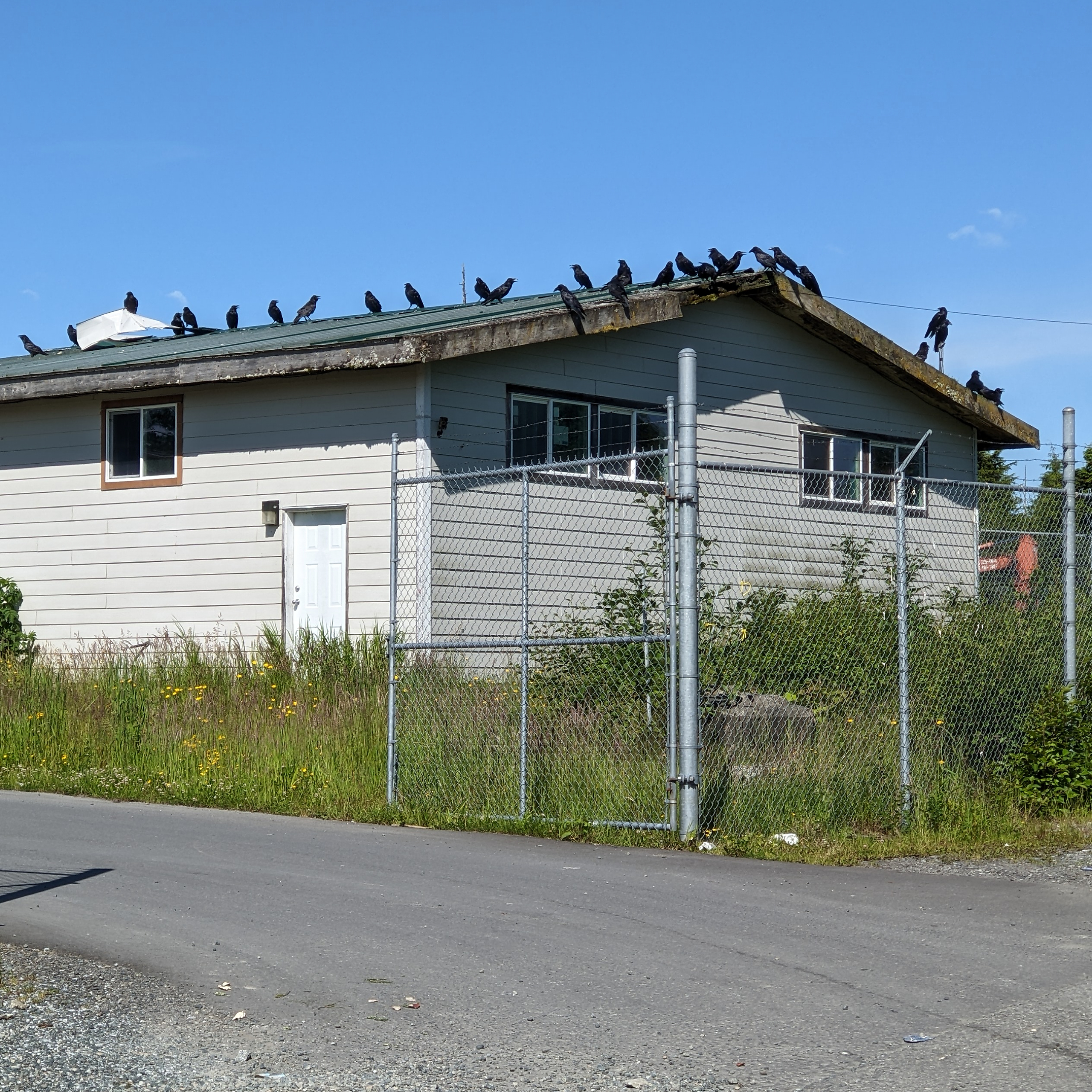
As it was a nice day I decided to walk the 2 miles to the airport. The village is inundated with eagles and ravens. This group of ravens was hanging out on a roof at the recycling depot.
.

Jan arrived on the daily flight from Vancouver. Her luggage consisted of two large bags of carefully packed fresh food!
We didn’t walk – we took a taxi back to the dock, loaded everything into the dinghy and zipped across to the Shearwater marina.
.
Shearwater was open for business as usual!
Two years ago when we were here it was very different – we had to telephone in our grocery order, which was then dropped off at the head of the dock.
.
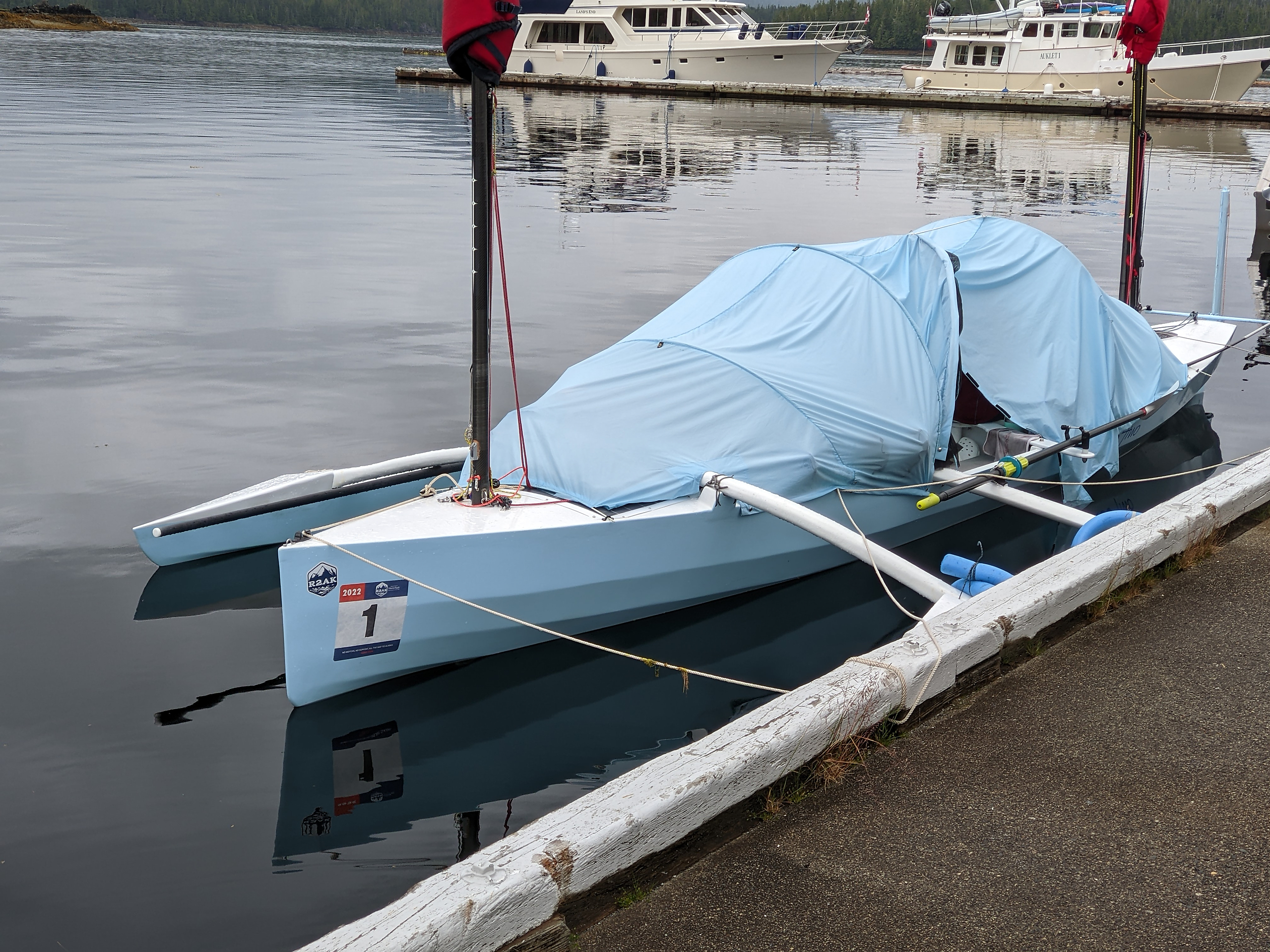
Overnight this craft showed up at the Shearwater dock. Inside were two hardy people who were part the Race to Alaska. R2AK.org One of the more creative ‘races’ around – only human or sail power allowed. The course goes from Port Townsend to Ketchikan any way you like except you have to stop in Victoria and pass by Bella Bella.
.
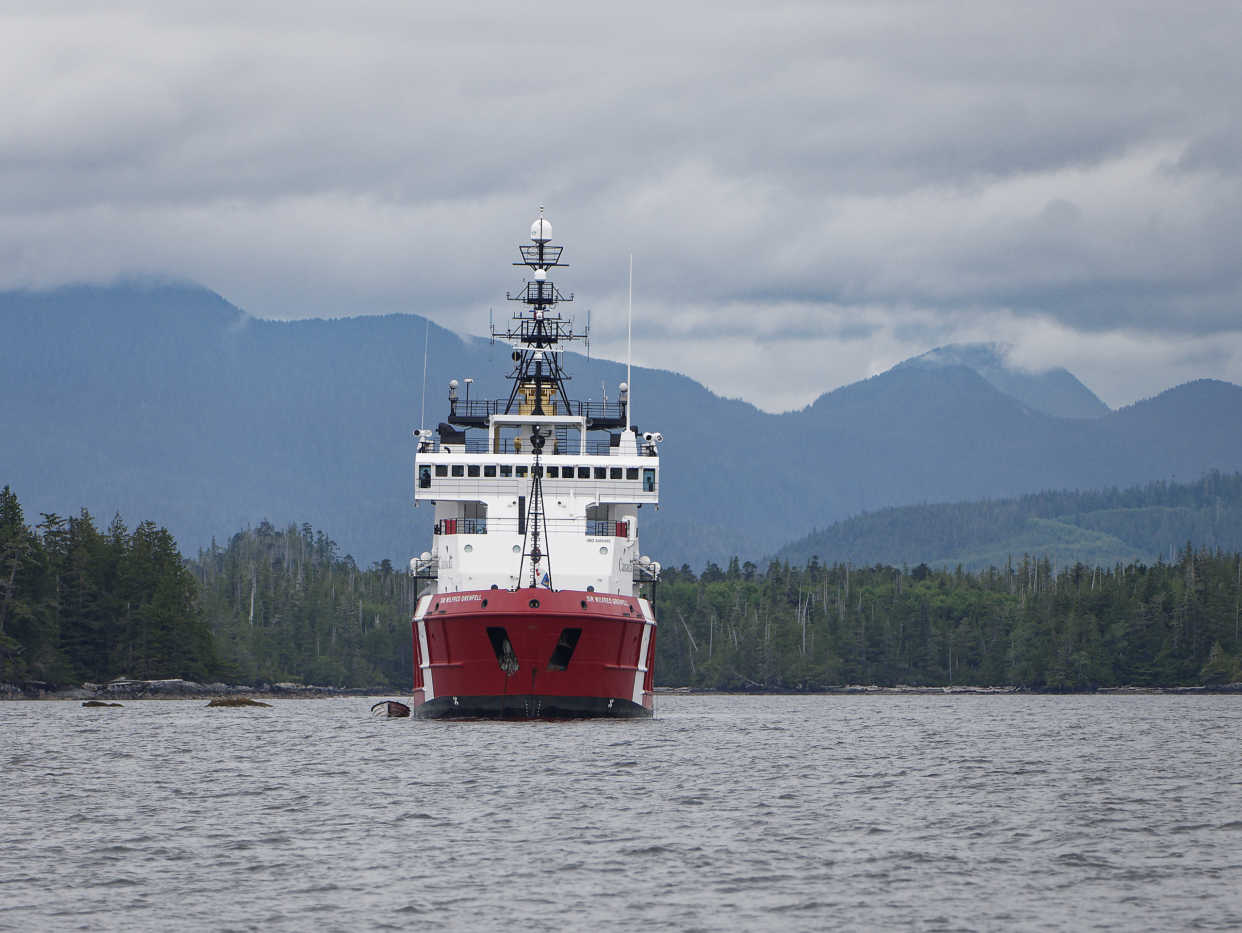
Having restocked with fresh food, and had our burgers at the pub, we headed back out into the surrounding wilderness. We pass the Sir Wilfred Grenfell anchored near Ivory Island lighthouse.
.

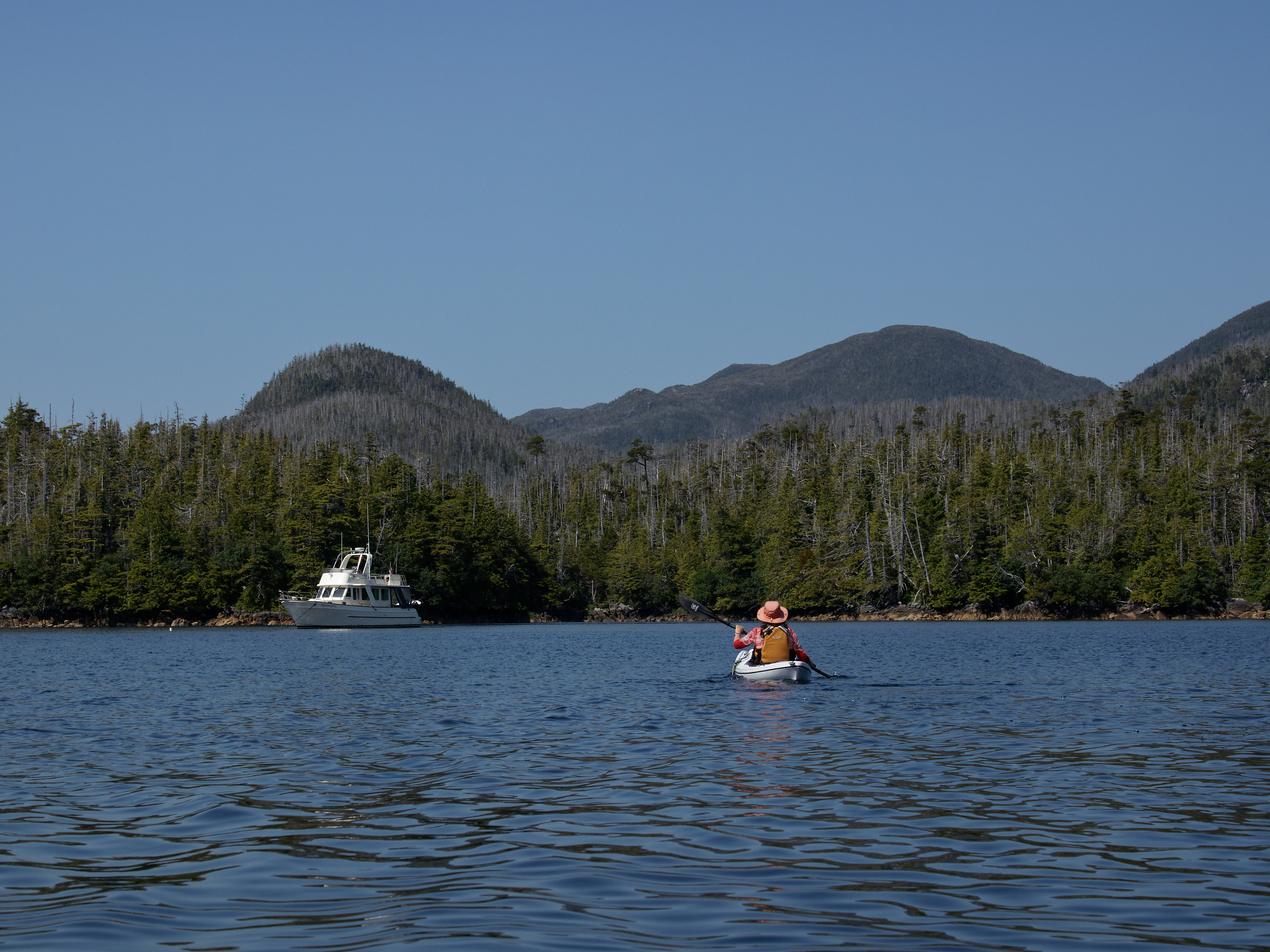
Higgins Pass is one of our favourite spots. You can only get through the pass at high tide, which really cuts down the number of boats that we encounter out here. Plus, its a great paddling and exploring area.
.

.
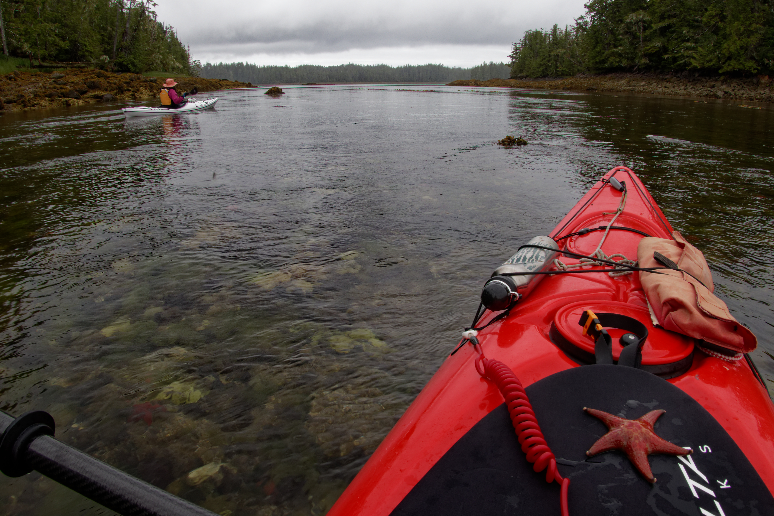
Paddling through the narrows at low tide. The sea floor is rich with life.
.

I am actually looking at my phone – using the marine navigation app to figure out which way to go in this maze of islands during our paddle.
.
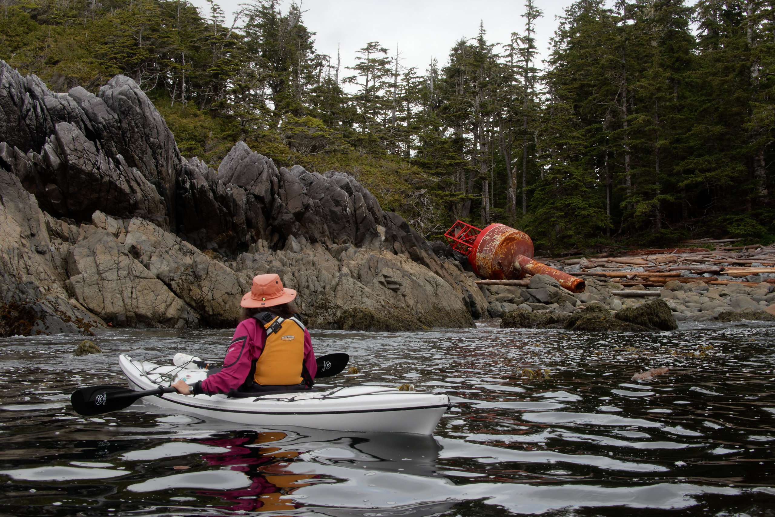
On the west side of one of the outer islands, we came across this stranded navigational buoy. We weren’t sure where it came from but we hope that it’s been replaced! We called the Coast Guard about it later, and they thanked us for the report…
.

Picking up the crab trap on the way back.
.
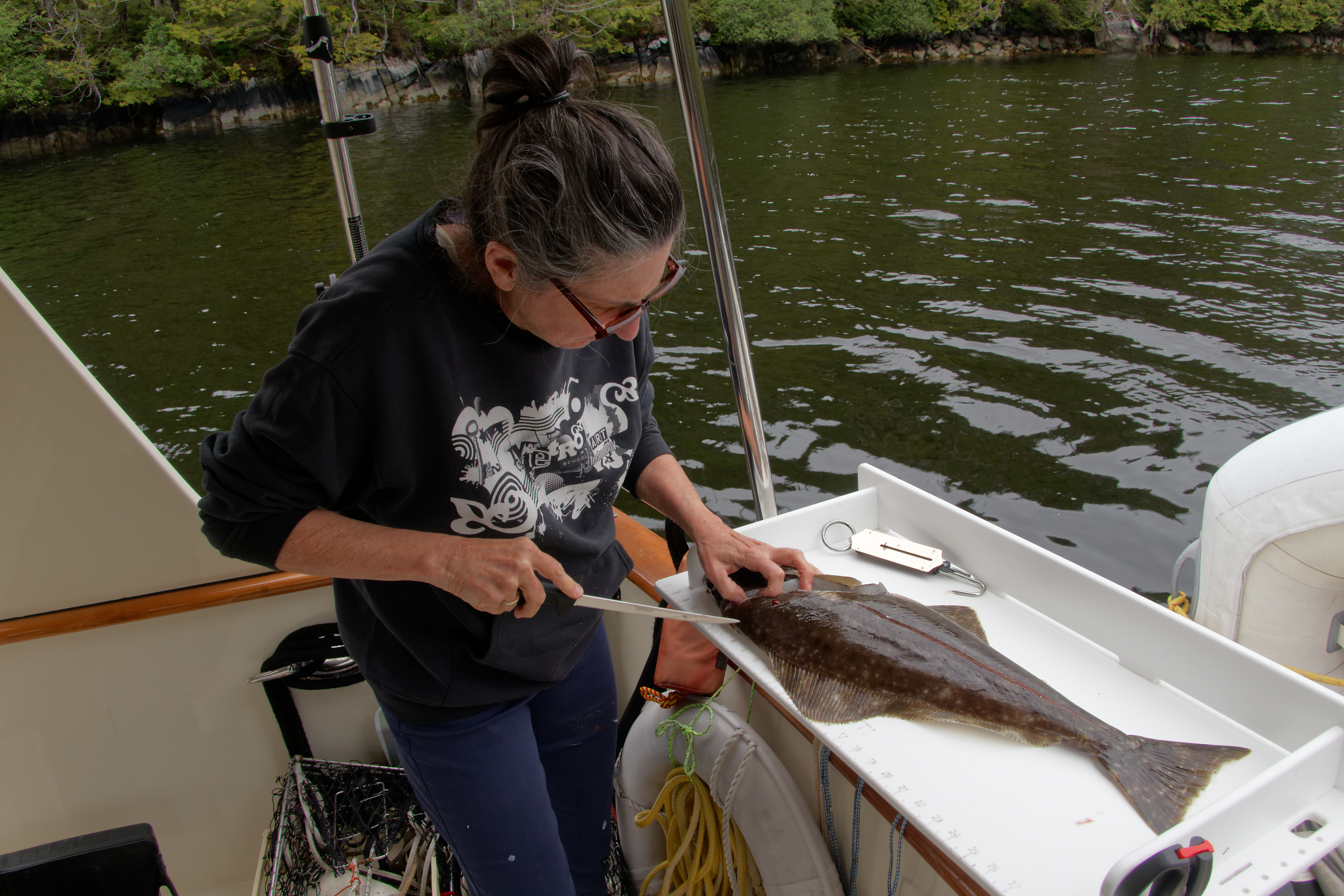
The next day we caught a nice halibut – food for several days!
.
Emily Carr inlet, on the west side of Princess Royal Island is another favourite spot as it has nice views to the south. This morning the view is shorter, but no less lovely.
.
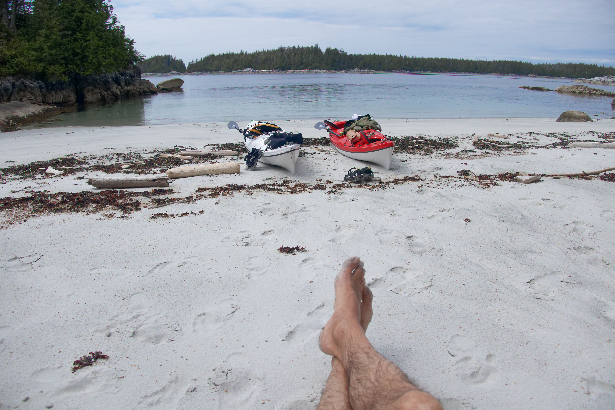
A foggy morning often means a sunny afternoon. We were very fortunate to have had a sunny afternoon on the white sand beaches of Campania Island.
Actually, it was busy at Campania. We just happened to be there on July 1st, so it was a long weekend and lots of boats zipped in from Kitimat. Despite the sudden influx of boats we still had this private beach to ourselves.
.

Another early morning rise is rewarded by the setting crescent moon.
.
This is Terror Point on the west side of Banks Island. Sounds ominous, and yes this is outside of our normal cruising territory. We had just passed Calamity Bay, and a few miles up ahead are Grief Point and Foul Bay. Despite the names, the weather had been so calm for several days that we decided to go up the west coast of Banks Island.
.
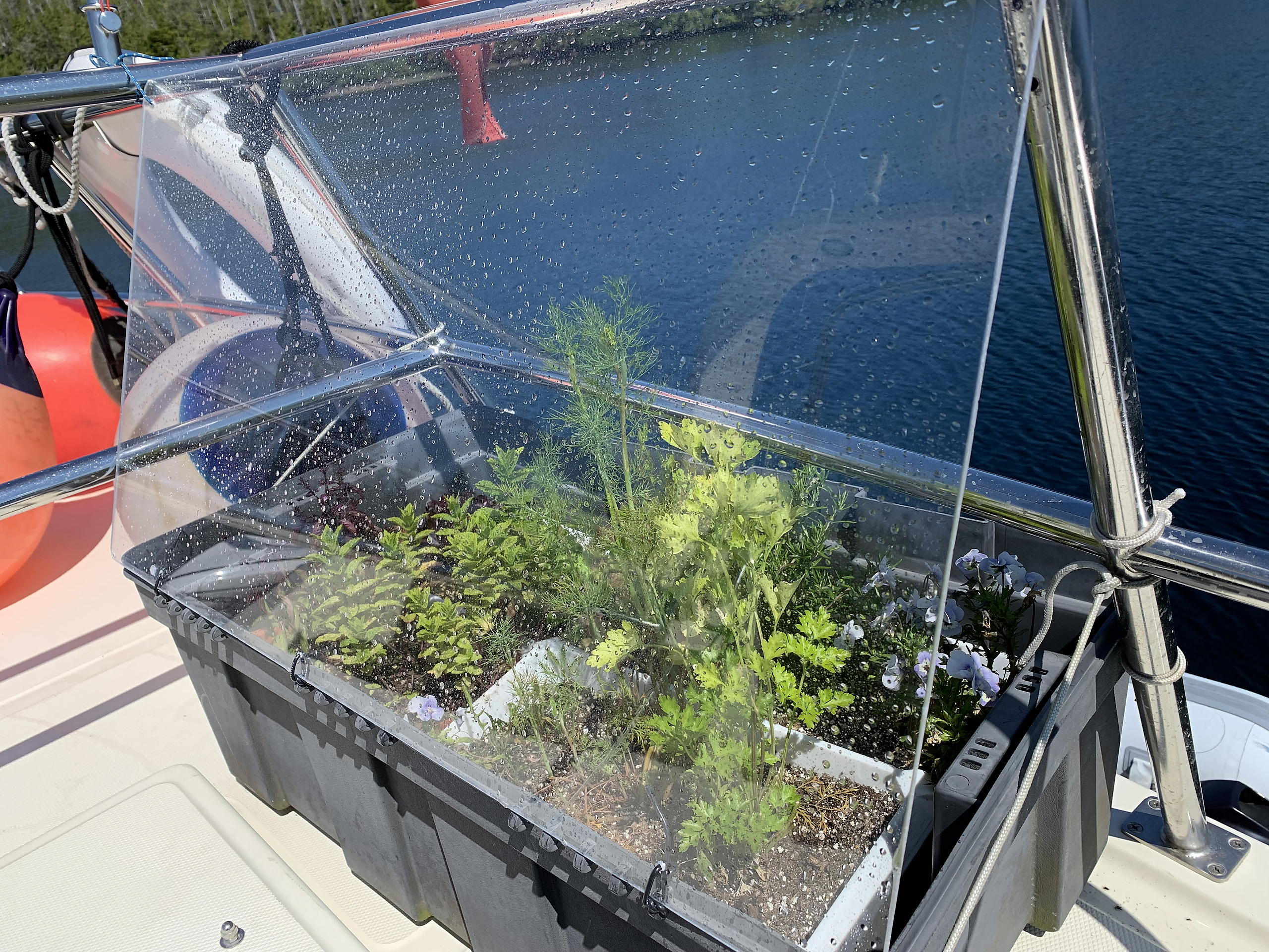
Jan installed this plexiglass wind shield for her garden when we were back in Shearwater. It is very effective at cutting down the wind on her beleagered garden. But on our way up Hecate Strait it was rough enough that the wind shield got covered with salt spray from the waves!
.
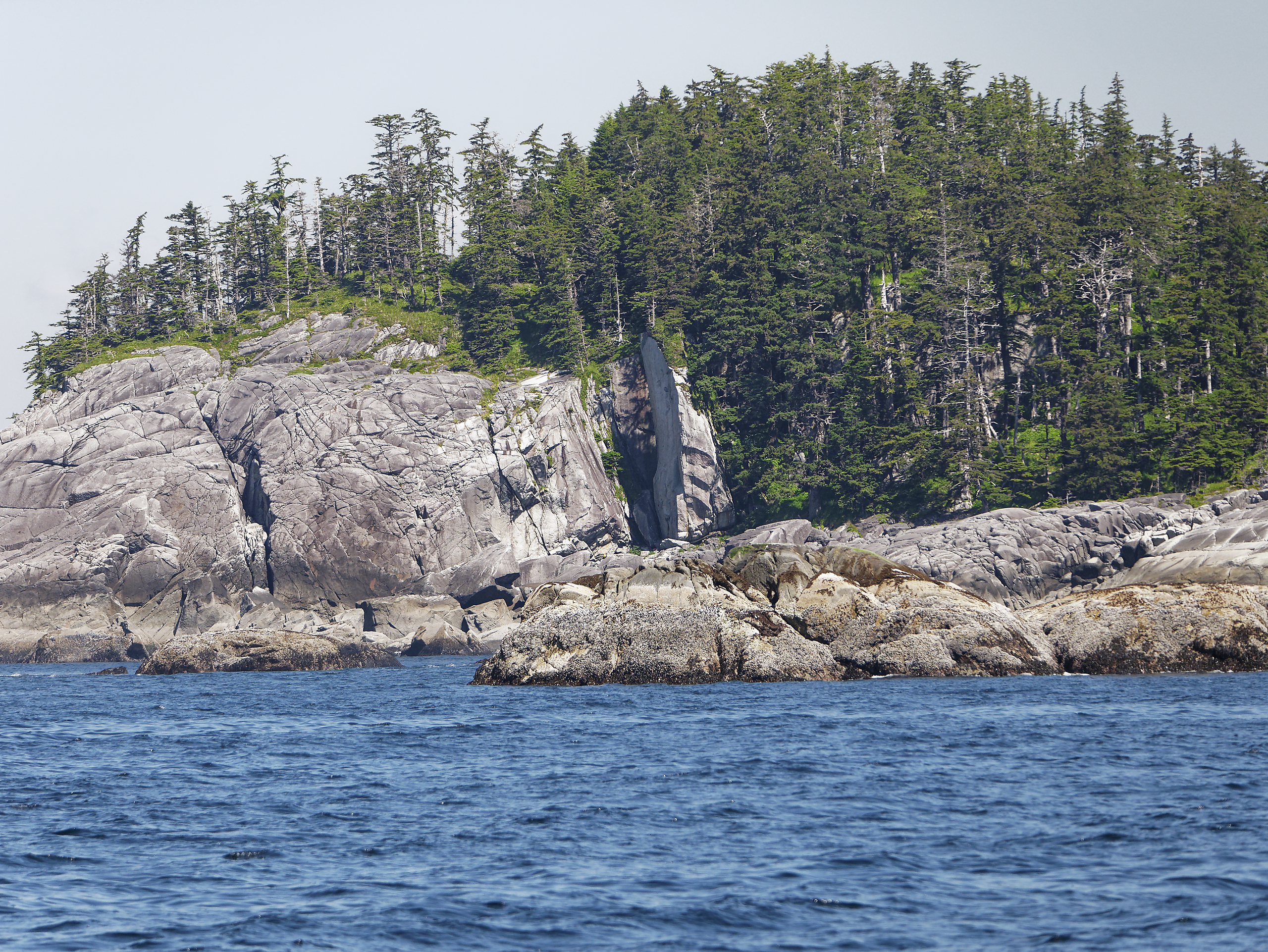
The silver hills of the west side of Banks Island.
We didn’t get as far along Banks Island as we had planned – Hecate Strait can indeed get rough, even on a nice day. So after getting bashed around a bit, we had a rest day in Survey Bay.
.

Survey Bay is a beautiful spot with many islands and coves to explore.
Some of the coves even had warmer water, which tempted us for a swim, but we were already being plagued by no-see-ums so we stayed covered up and dry.
.
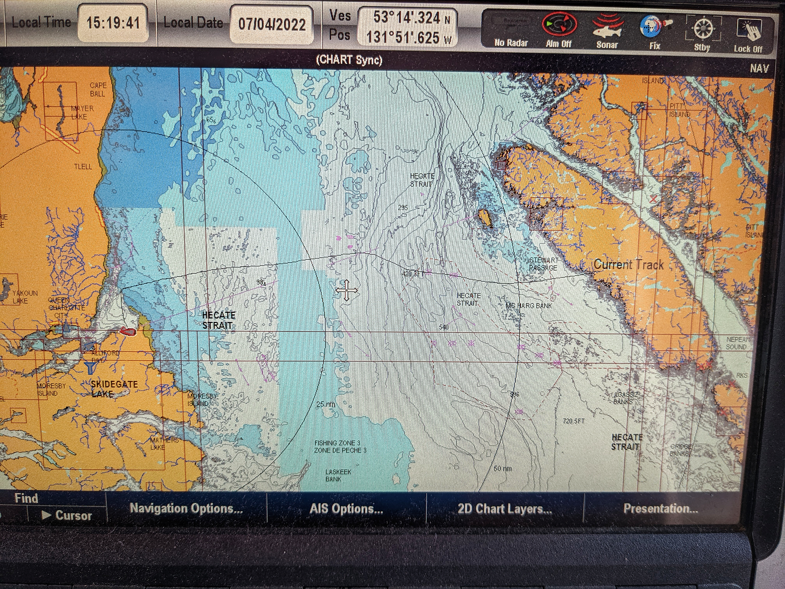
Finally, the big day – crossing Hecate Strait!
The chart shows our course – the wobbly line across the middle – from Survey Bay to Sandspit. We had been watching the weather forecast for several days and made it across without too much trouble. Our crossing was 66 nautical miles and took 9 1/2 hours. Unfortunately, it was foggy the whole way, so there was nothing to see until we arrived.
.
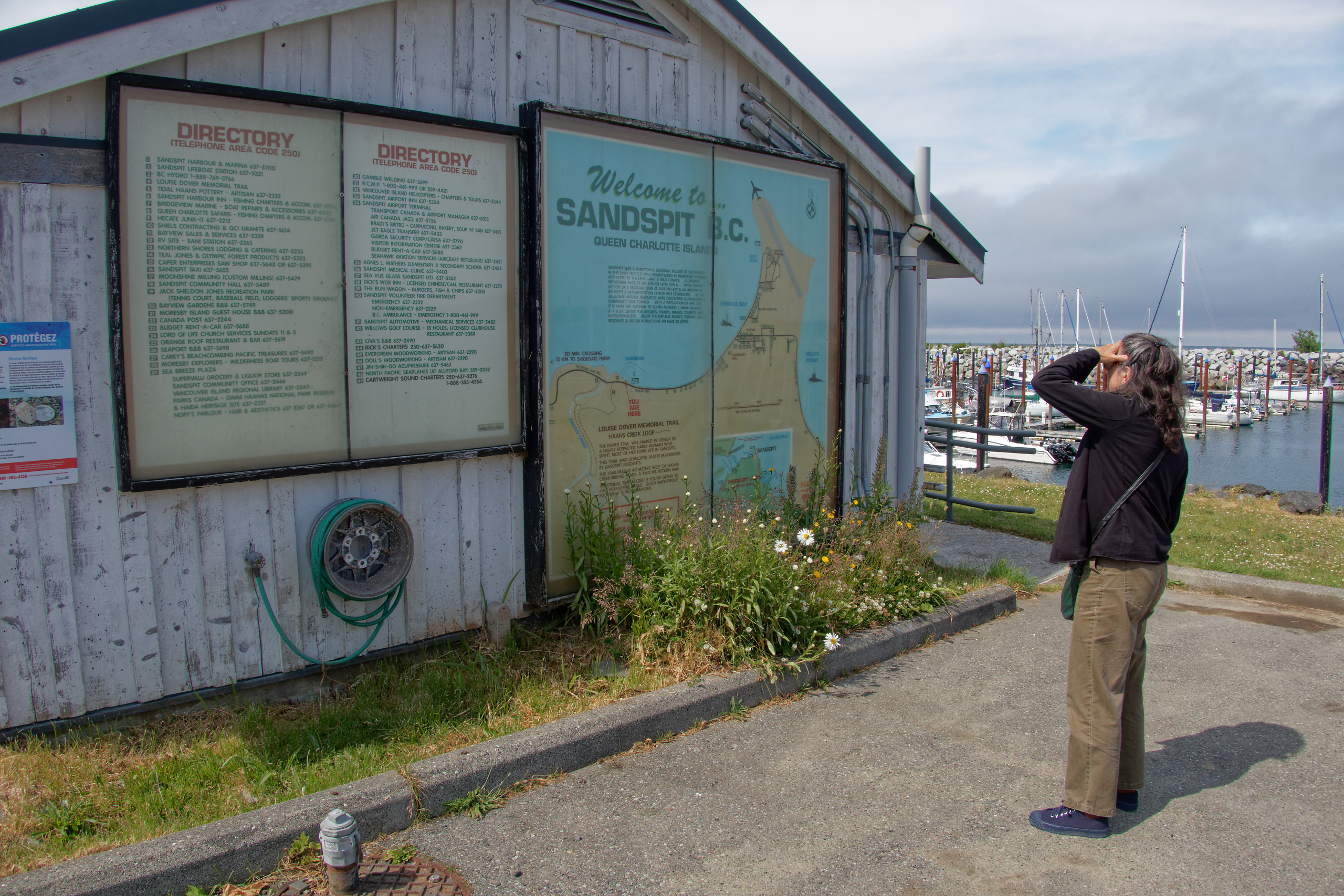
Don’t be fooled – the map and directory are impressive but really there is almost nothing in Sandspit apart from the airport.
.

You need a car, or at least a bike, to get anywhere in Sandspit. We did find a new-ish restaurant with, well, food.
.

We rented a car from Bob, who was headquartered here in a residential part of Skidegate. Just getting here from Sandspit was an adventure, but that’s a story for another time.
.

Checking in to Susan Musgrave’s wonderful Copper Beech House in Massett.
.
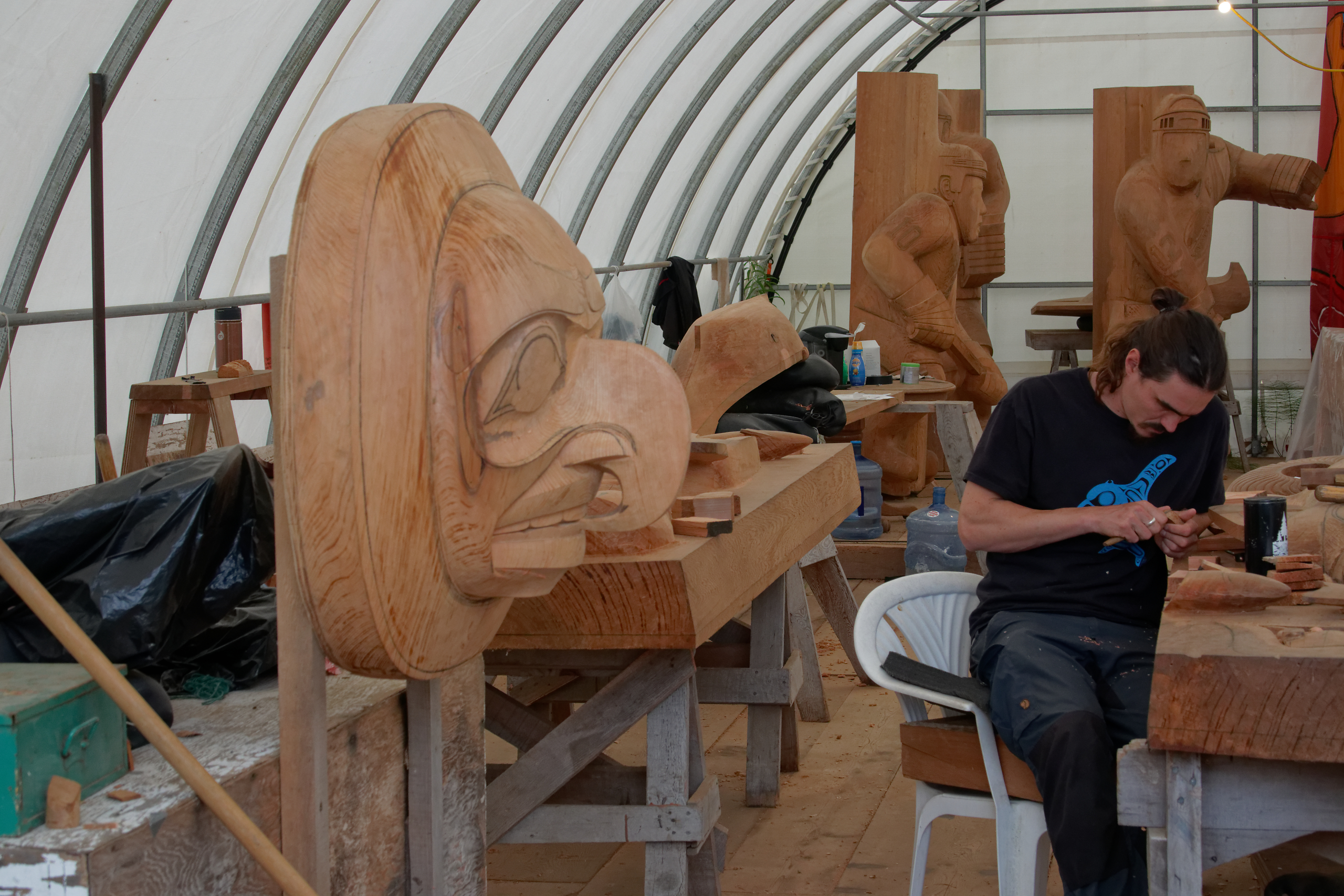
We chatted with the friendly carvers in the carving shed in Old Massett. In the foreground is a moon figure being carved for part of a larger installation. Note the hockey players in the background.
.
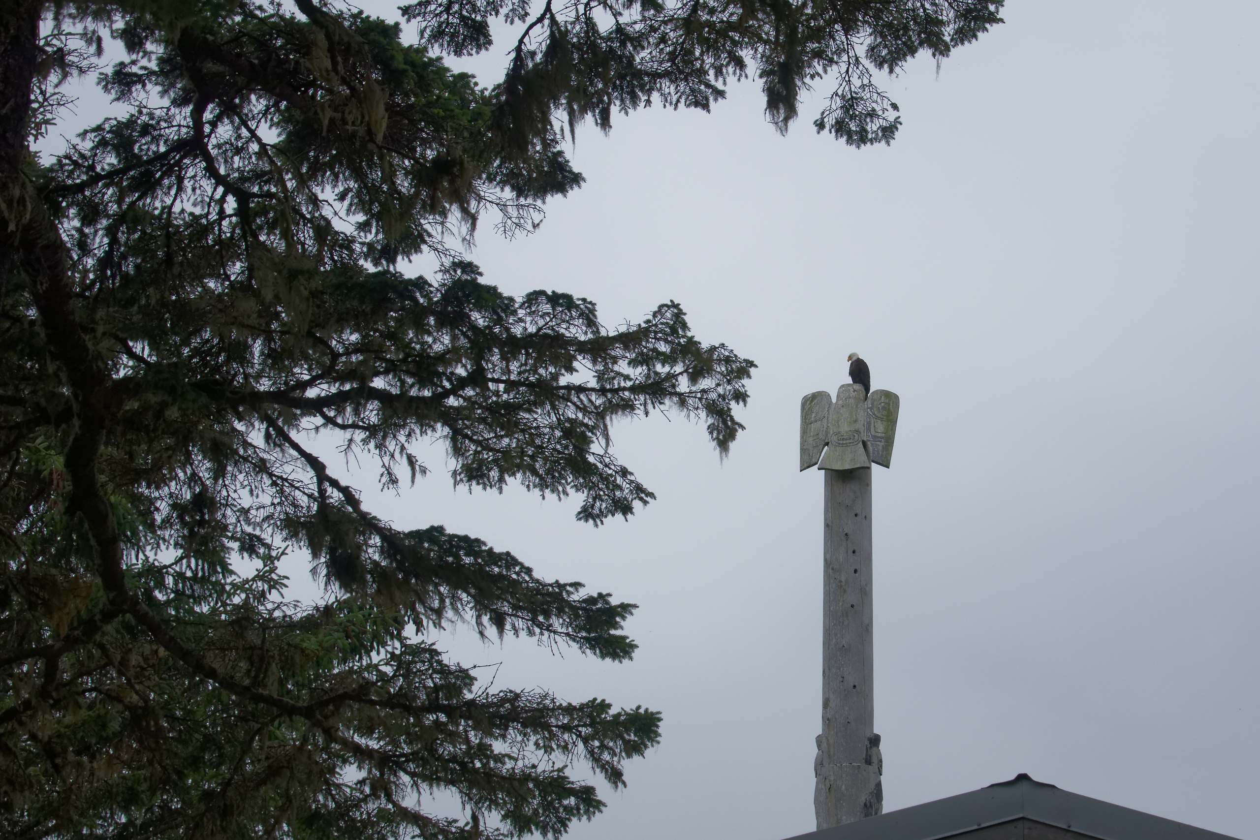
An eagle sits on an eagle pole in front of a house in Old Massett.
.

All the road signs in Old Massett are in Haida.
.
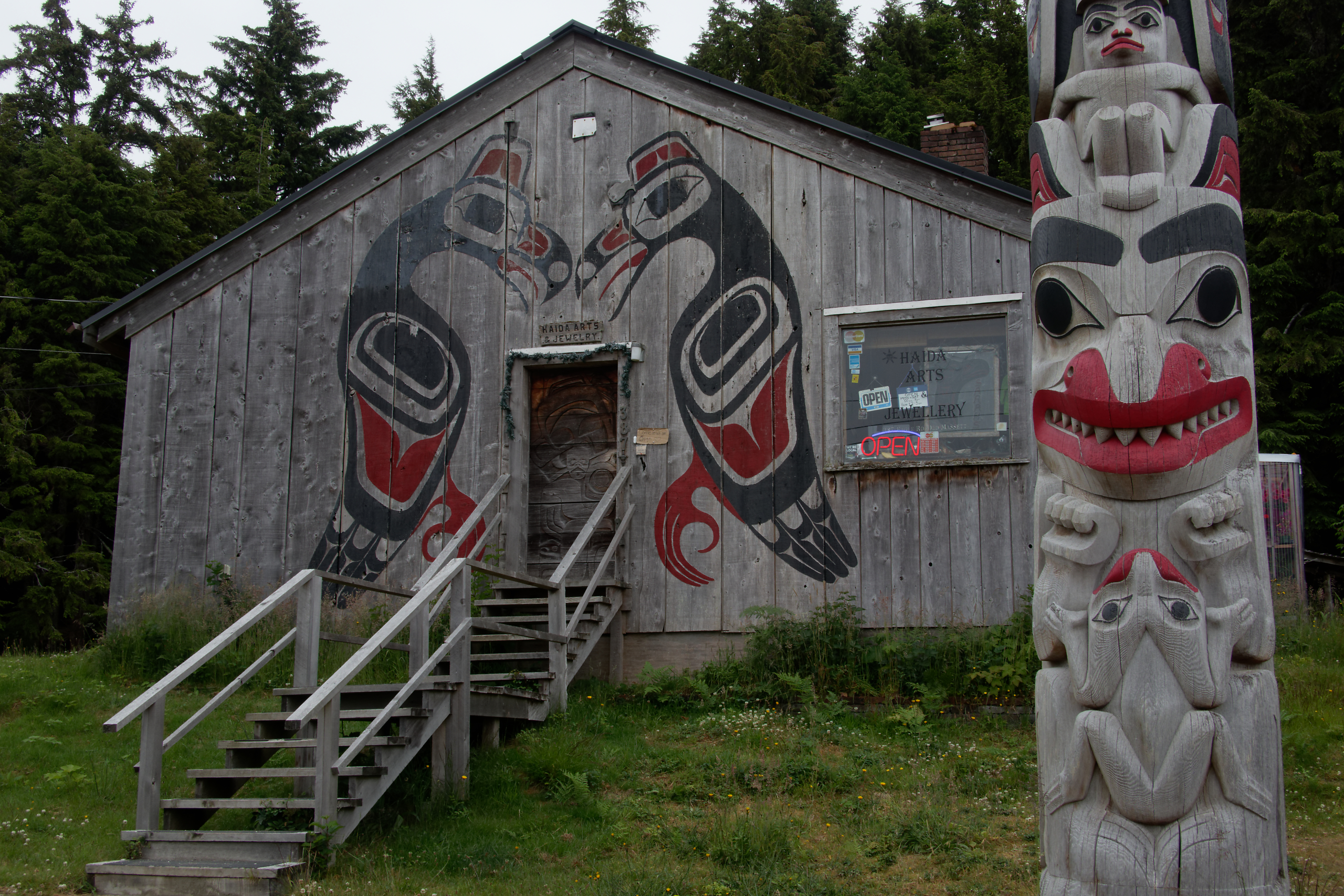
Gift shop and pole next to a community hall in Old Massett.
.

View of Tow Hill along North Beach east of Massett.
.
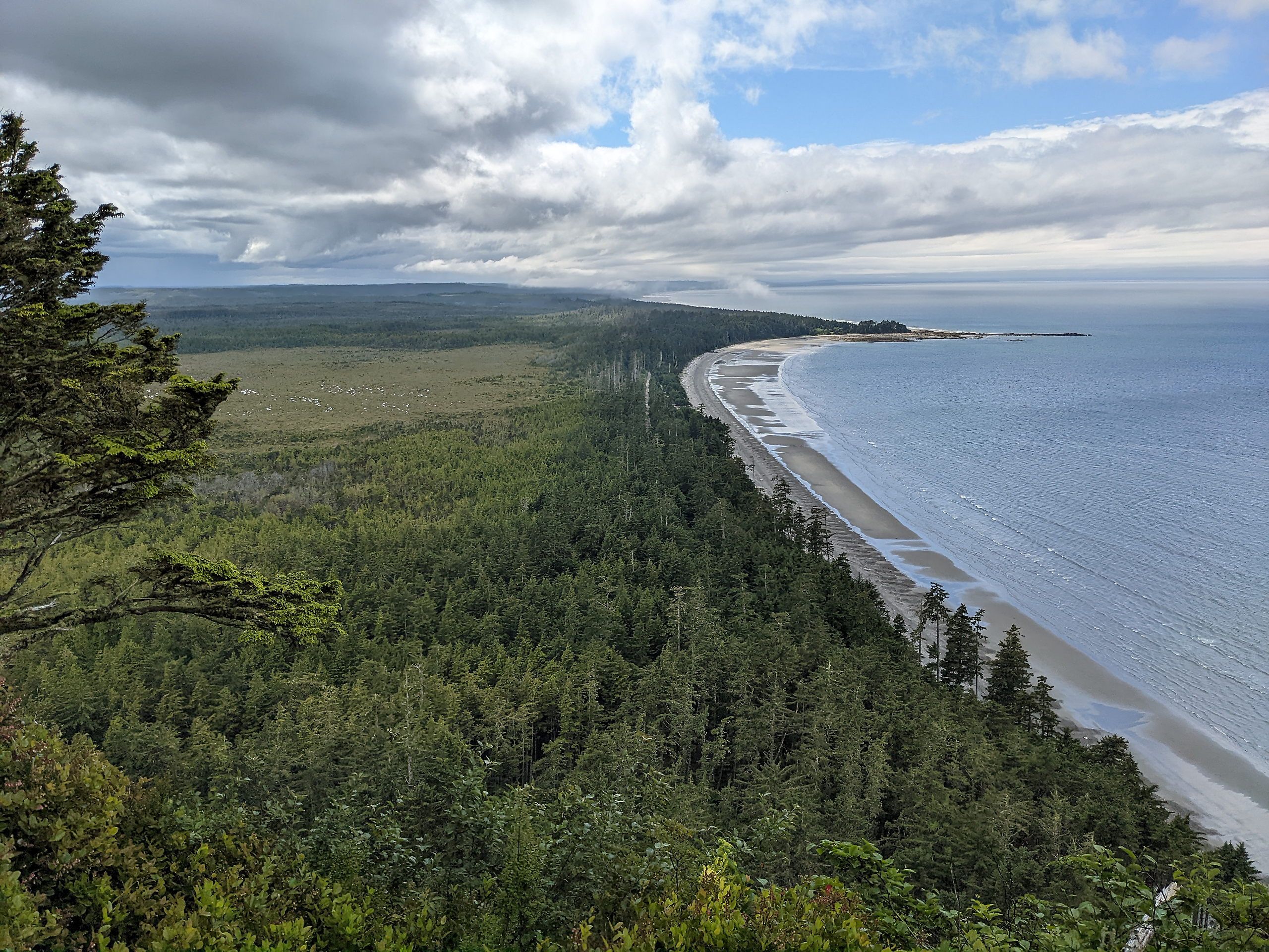
View from the top of Tow Hill, looking west. Off to the right, we could see all the way to Alaska.
.
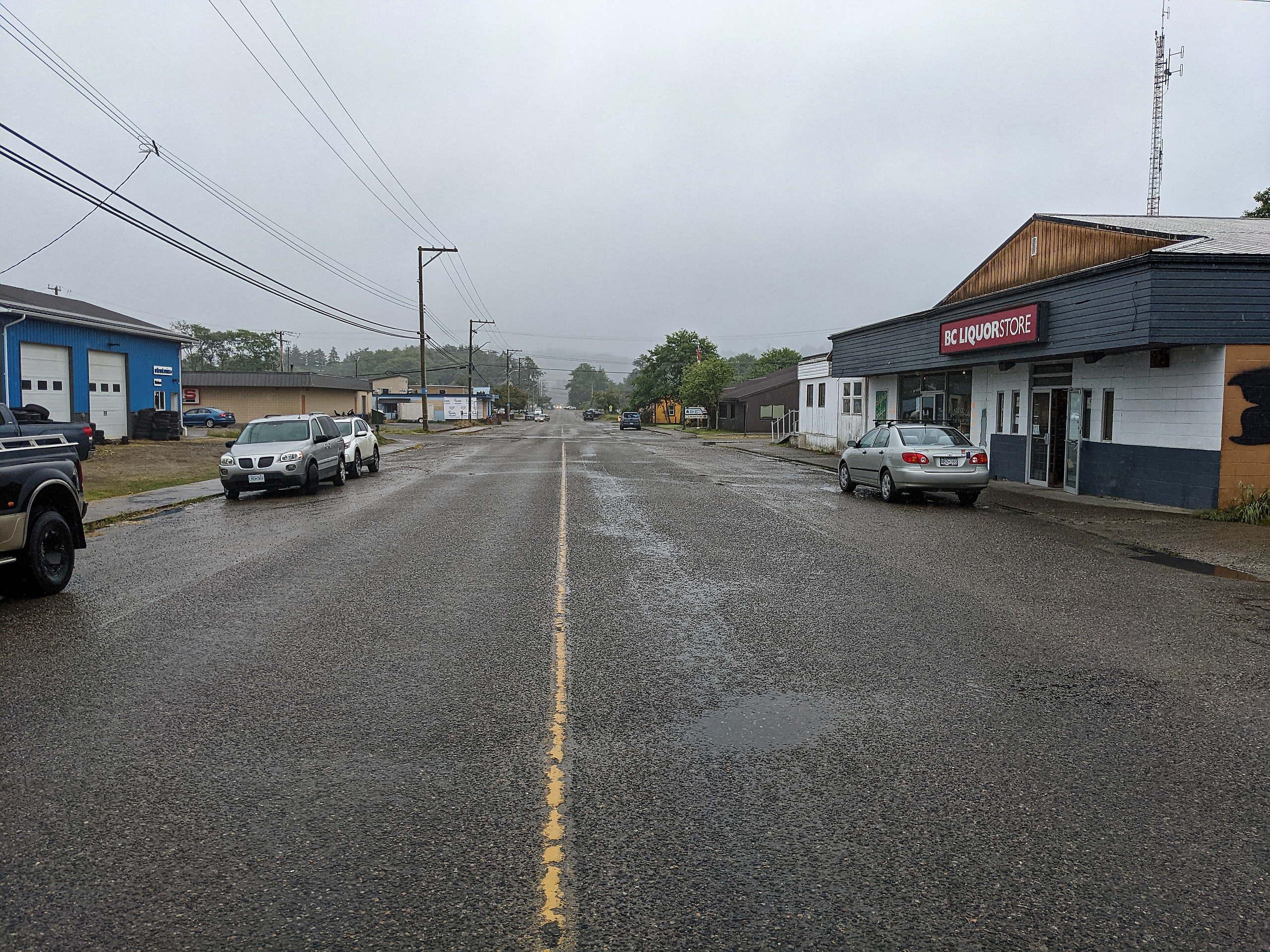
Massett.
.
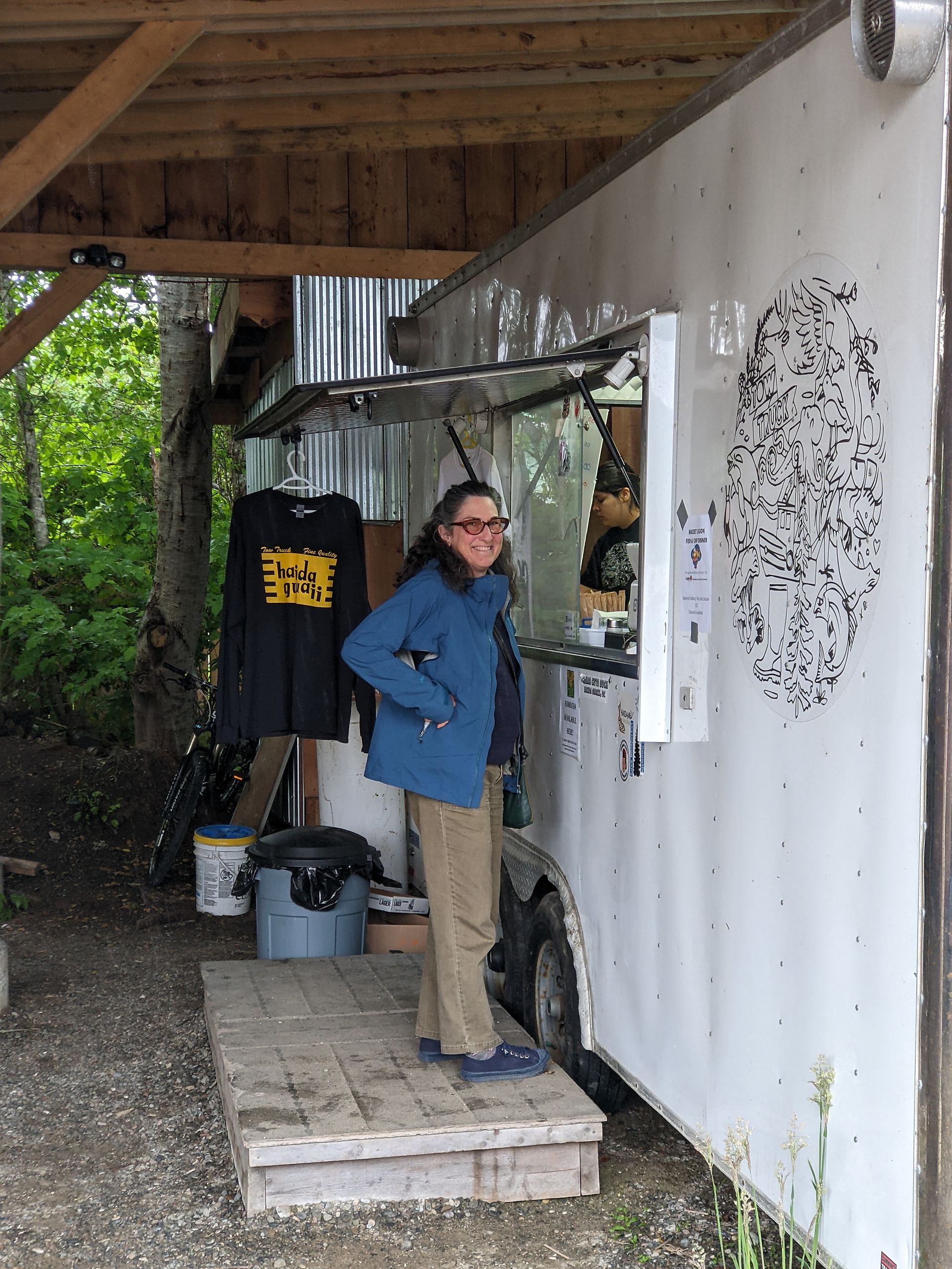
While I am wandering the streets taking photos, Jan is ordering dinner at Tow Truck, one of the town’s popular food trucks.
.
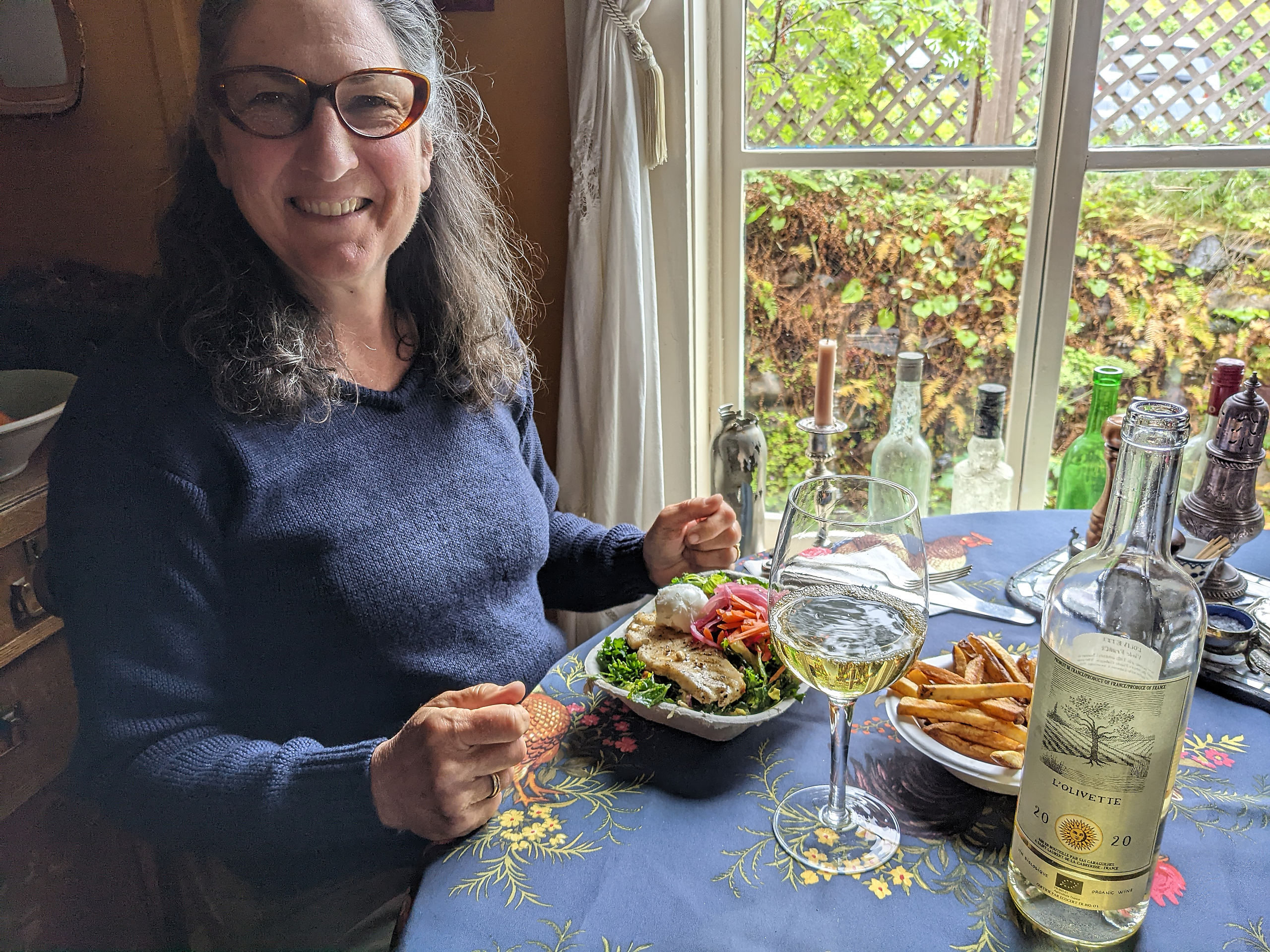
We took our tasty food truck bowls back to the Copper Beech House. This was arguably our best dining experience in Massett.
.
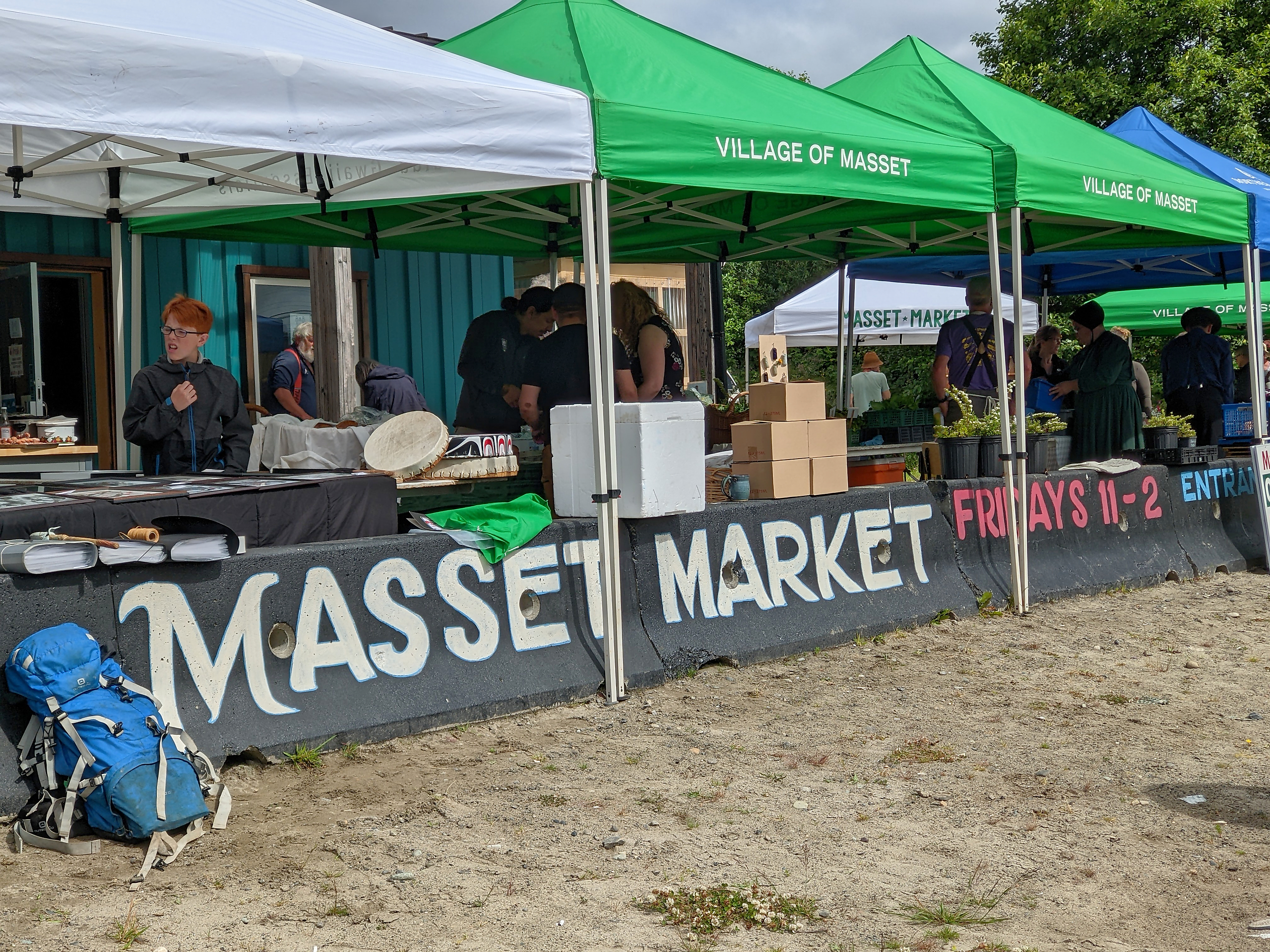
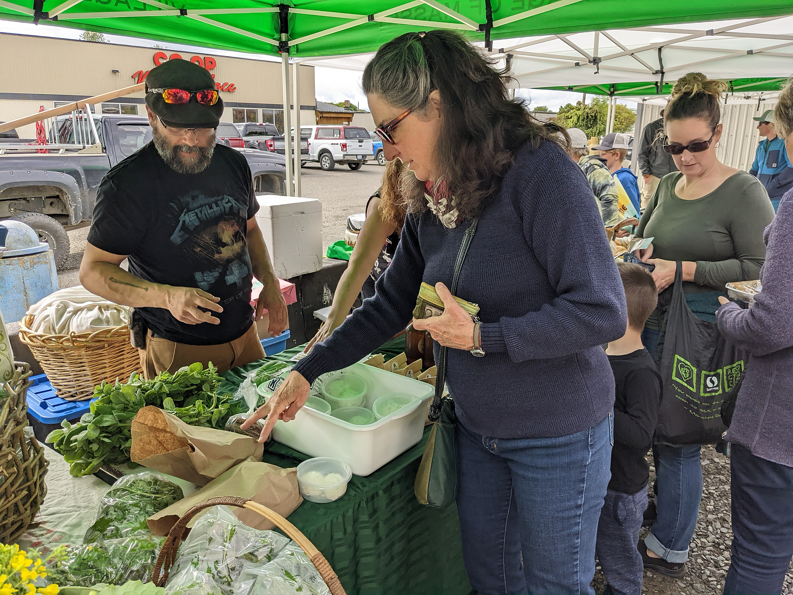
It’s Friday morning, and Jan has planned our visit to coincide with Market day. More fresh food for the boat!
.
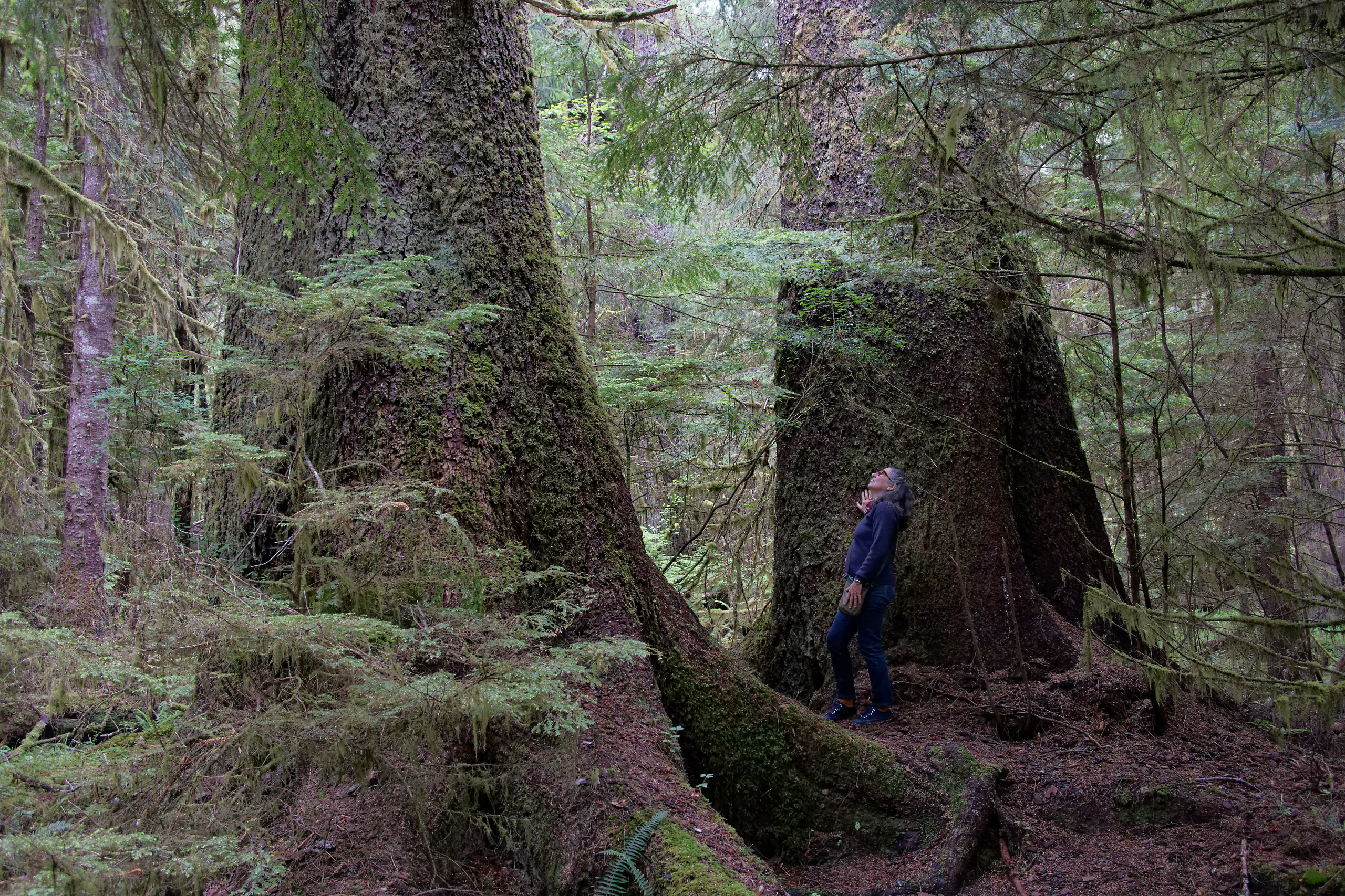
Near Port Clements, we admire some of the massive spruce trees along the Golden Spruce trail.
.
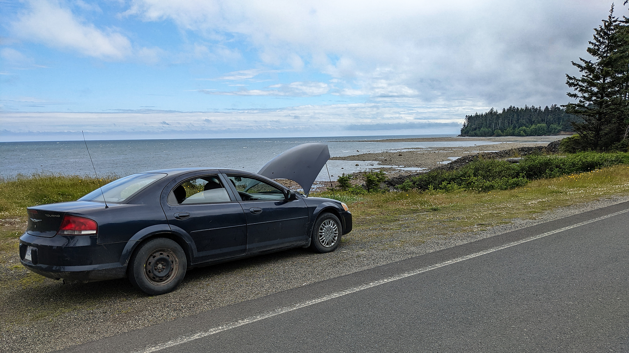
The beater car that we rented from Bob developed an overheating problem. There is no phone service outside of the towns, so we spent a couple of hours nursing the car back to Skidegate. This is one of our many cooling off stops along the beach south of Tlell.
.

The excellent Haida museum in Skidegate.
.
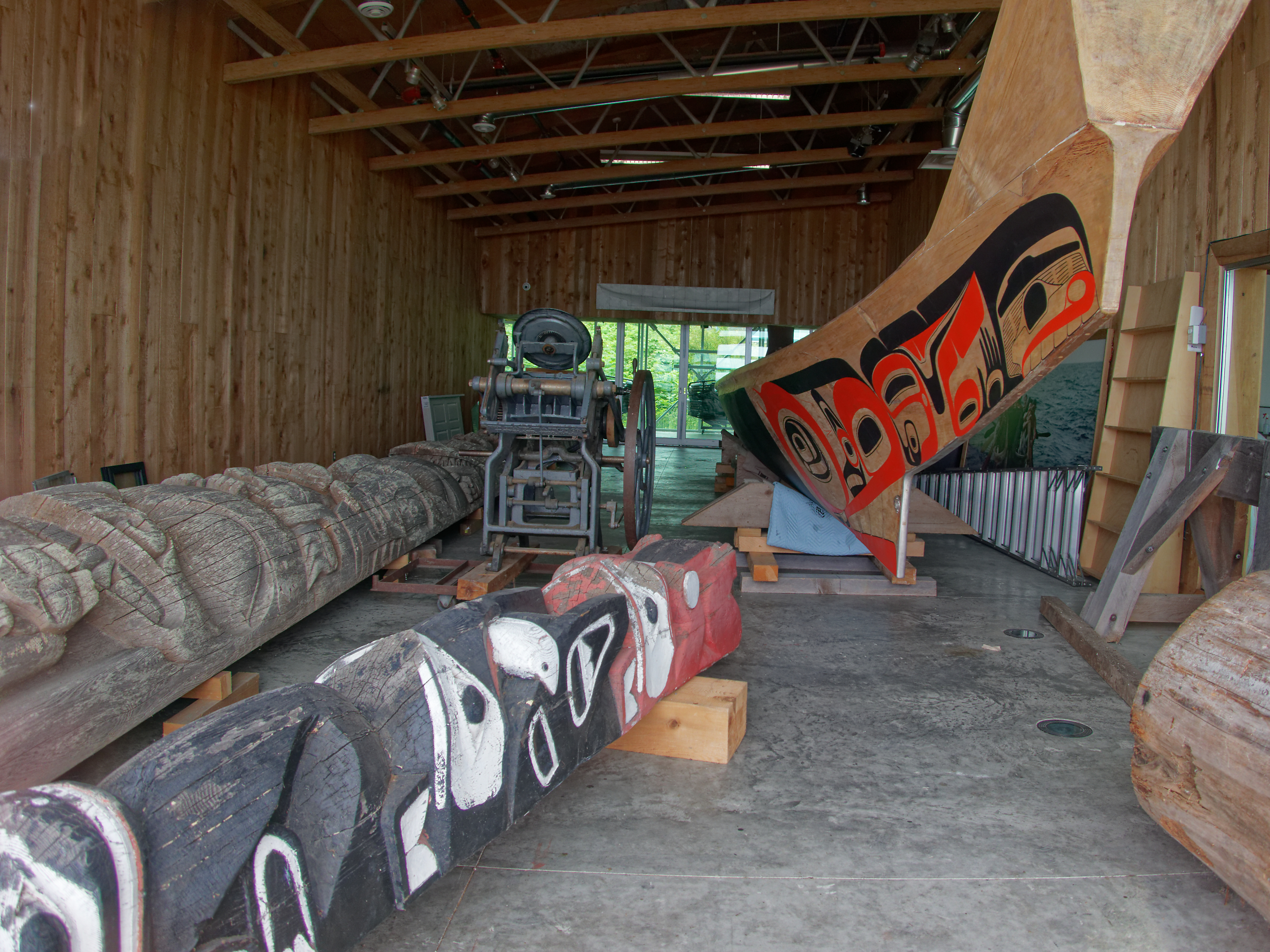
Peering into a locked room, I was rewarded by the sight of Bill Reid’s Lootas canoe, plus a couple of poles in repose.
.
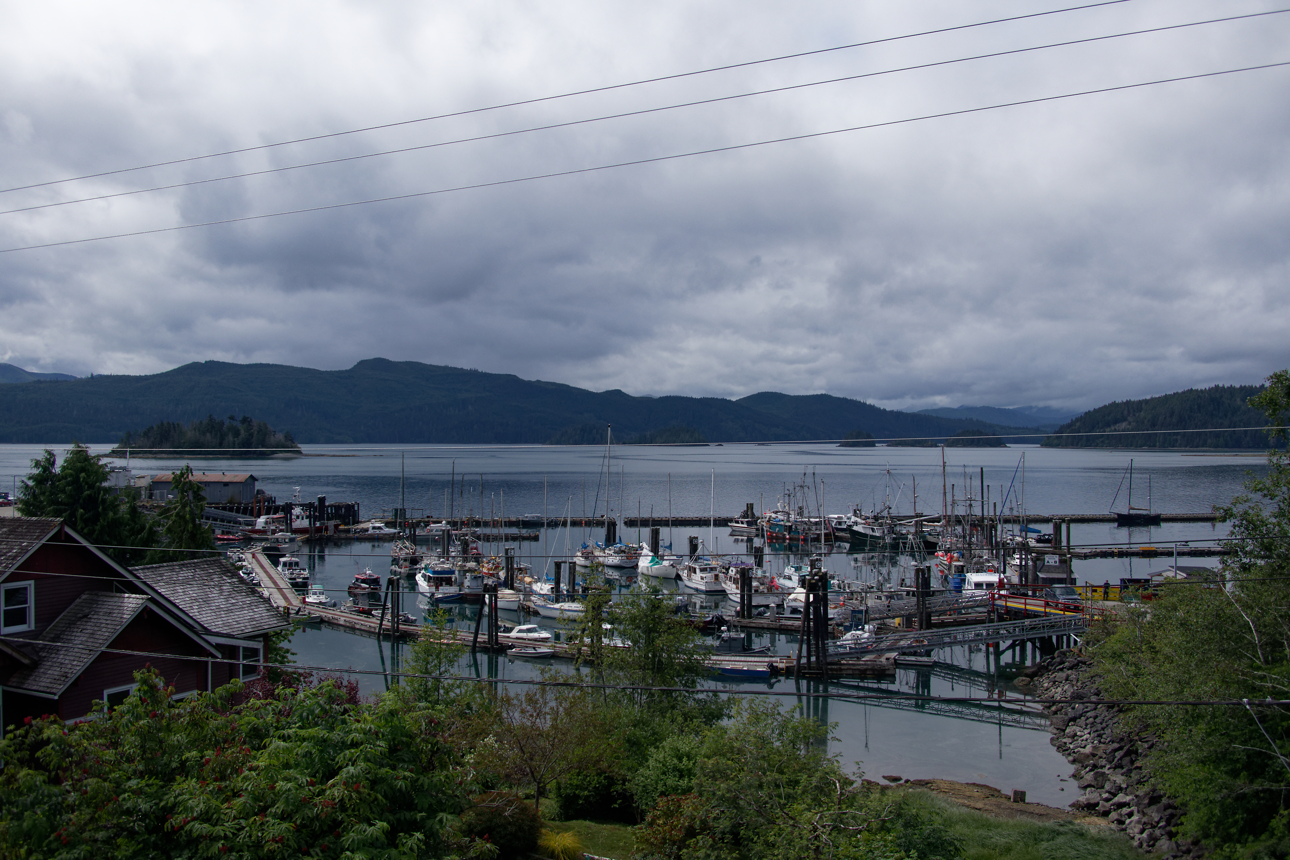
View across the harbour in Queen Charlotte City (a.k.a. QCC – soon to be renamed Daajing Giids).
We will spend a few days here in QCC getting ready for the next leg of the trip, which is to circumnavigate Moresby Island. We expect to be back here in about a month.
.